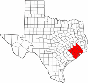
- Meadows Place, Texas
-
City of Meadows Place — City — A sign indicating Meadows Place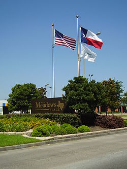
Coordinates: 29°38′59″N 95°35′19″W / 29.64972°N 95.58861°WCoordinates: 29°38′59″N 95°35′19″W / 29.64972°N 95.58861°W Country United States State Texas County Fort Bend Incorporated November 14, 1983 Government – Mayor Charles Jessup Area – Total 0.9 sq mi (2.4 km2) – Land 0.9 sq mi (2.4 km2) – Water 0.0 sq mi (0.0 km2) Population (2000) – Total 4,912 – Density 5,247.8/sq mi (2,026.2/km2) Time zone Central (CST) (UTC-6) – Summer (DST) CDT (UTC-5) FIPS code 48-47335[1] Meadows Place is a city located in the U.S. state of Texas within the Houston–Sugar Land–Baytown metropolitan area. As of the 2000 U.S. Census, the city population was 4,912. Meadows Place was part of Stafford's extraterritorial jurisdiction prior to incorporation on November 14, 1983. Meadows Place was incorporated as Meadows, but this was changed to "Meadows Place" in 1997 due to postal conflicts with a city of a similar name, Meadow. The current mayor is Charles Jessup.
Postal addresses in Meadows Place are designated as "Meadows Place, Texas." Meadows Place shares the Zip Code with Stafford, Texas as the Post Office is in Stafford. [1].
Contents
History
Meadows Place began as the Meadows Municipal Utility District, which had been established in 1967. In 1968 the first houses were constructed. Meadows incorporated on November 14, 1983 to avoid being annexed by Houston. In 1990 the city had 4,606 residents.[2]
Geography
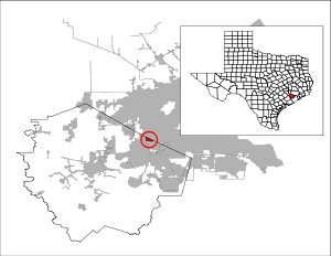
 Map of Meadows Place
Meadows Place is located at 29°38′59″N 95°35′19″W / 29.64972°N 95.58861°W (29.649599, -95.588747)[3].
According to the United States Census Bureau, the city has a total area of 0.9 square miles (2.3 km2), all of it land.
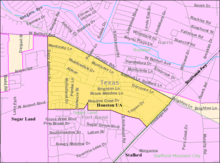
The city is located between West Bellfort Avenue, U.S. Route 59, Dairy Ashford Road, and West Airport Boulevard.[4] Meadows Place is off of Beltway 8 and it is in proximity to the City of Houston.[5]
Demographics
As of the census[1] of 2000, there were 4,912 people, 1,598 households, and 1,358 families residing in the city. The population density was 5,247.8 people per square mile (2,017.6/km²). There were 1,616 housing units at an average density of 1,726.5 per square mile (663.8/km²). The racial makeup of the city was 71.82% White, 6.09% African American, 0.22% Native American, 15.72% Asian, 0.10% Pacific Islander, 3.24% from other races, and 2.81% from two or more races. Hispanic or Latino of any race were 11.46% of the population.
There were 1,598 households out of which 43.2% had children under the age of 18 living with them, 70.9% were married couples living together, 10.8% had a female householder with no husband present, and 15.0% were non-families. 12.6% of all households were made up of individuals and 2.9% had someone living alone who was 65 years of age or older. The average household size was 3.01 and the average family size was 3.28.
In the city the population was spread out with 27.9% under the age of 18, 6.8% from 18 to 24, 26.5% from 25 to 44, 29.7% from 45 to 64, and 9.2% who were 65 years of age or older. The median age was 39 years. For every 100 females there were 90.2 males. For every 100 females age 18 and over, there were 86.4 males.
The median income for a household in the city was $73,180, and the median income for a family was $75,708. Males had a median income of $51,173 versus $35,929 for females. The per capita income for the city was $27,134. About 1.7% of families and 4.5% of the population were below the poverty line, including 5.8% of those under age 18 and 14.5% of those age 65 or over.
Government
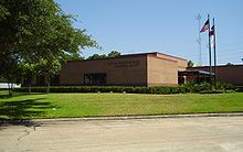 Meadows Place Municipal Facility
Meadows Place has an alderman form of government. The city council consists of the mayor and five aldermen. As of 2010 the Mayor is Charles Jessup, Alderman I is Heidi S. Case, Alderman II is Shirley Isbell, Alderman III is David Wilkens, Alderman IV and Mayor Pro Tem is Terry Henley, and Alderman V is John Whiteman.[6]
Education
Primary and secondary schools
 Meadows Elementary School
Meadows Place residents are within the Fort Bend Independent School District. Children attend Meadows Elementary School (located in the city of Meadows Place),[7] Dulles Middle School (in Sugar Land),[8] and Dulles High School (also in Sugar Land).[9] Dulles Junior and Dulles High School were already built as Meadows Place opened. Meadows Elementary was occupied in August 1973. Dulles Junior High School reopened and was reoccupied in 1983.[10]
Sugar Grove Christian School, a preschool and elementary school, is in Meadows Place. It was originally founded in 1969, as the Sharpstown Christian School.[11]
Colleges and universities
Community college facilities in proximity to Meadows Place are Houston Community College facilities and the Wharton County Junior College facilities. Colleges and universities in proximity to Meadows Place include Houston Baptist University and University of Houston System at Sugar Land.[5]
Parks and recreation
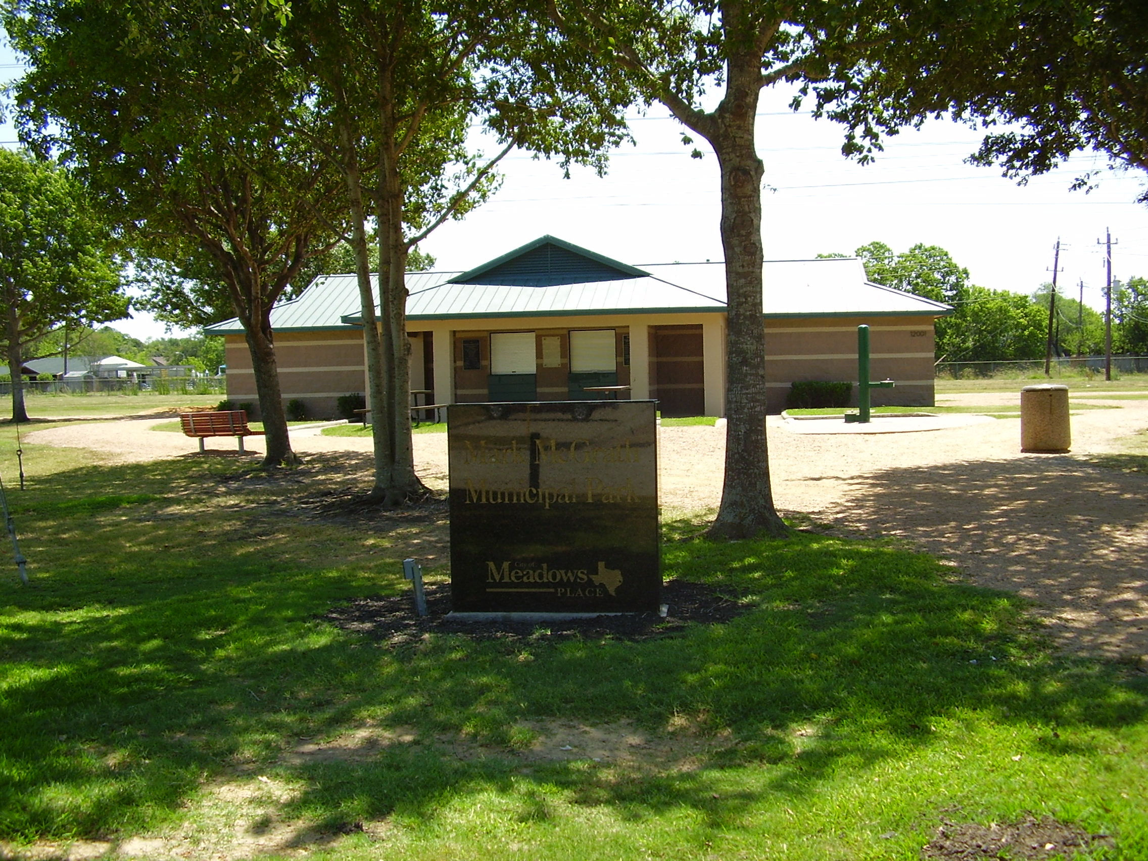
The Mark McGrath Municipal Park is in Meadows Place. Meadows Place has a community center with a swimming pool, tennis courts, baseball fields and a running track.[citation needed]
Gallery
-
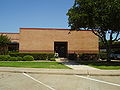
Meadows Place Police Department
-
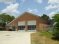
Meadows Place Fire Station
-
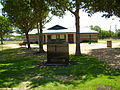
Mark McGrath Municipal Park
References
- ^ a b "American FactFinder". United States Census Bureau. http://factfinder.census.gov. Retrieved 2008-01-31.
- ^ "MEADOWS, TEXAS." Handbook of Texas Online. Retrieved on April 4, 2010.
- ^ "US Gazetteer files: 2010, 2000, and 1990". United States Census Bureau. 2011-02-12. http://www.census.gov/geo/www/gazetteer/gazette.html. Retrieved 2011-04-23.
- ^ "City of Meadows Place Territory." City of Meadows Place. Retrieved on June 13, 2009.
- ^ a b "City of Meadows Place Offers the Best of Both Worlds." City of Meadows Place. Retrieved on December 2, 2010.
- ^ "City Council & Mayor." City of Meadows Place. Retrieved on June 13, 2009.
- ^ "Meadows Elementary Attendance Zone." Fort Bend Independent School District. Retrieved on September 12, 2011.
- ^ "Dulles Middle School Attendance Zone." Fort Bend Independent School District. Retrieved on September 12, 2011.
- ^ "Dulles High School Attendance Zone." Fort Bend Independent School District. Retrieved on September 12, 2011.
- ^ "FBISD History." Fort Bend Independent School District. Retrieved on April 4, 2010.
- ^ "About SGCS." Sugar Grove Christian School. Retrieved on November 12, 2011. "11600 West Airport Blvd, Meadows Place, TX 77477"
External links
- Meadows Place's website
- Meadows Place, Texas from the Handbook of Texas Online
 Houston–Sugar Land–Baytown
Counties Austin • Brazoria • Chambers • Fort Bend • Galveston • Harris • Liberty • Montgomery • San Jacinto • Waller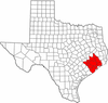
"Principal" cities Other cities Alvin • Angleton • Bellaire • Clute • Deer Park • Dickinson • Freeport • Friendswood • Galena Park • Humble • Jacinto City • Katy • Lake Jackson • La Marque • La Porte • League City • Missouri City • Pasadena • Pearland • Richmond • Rosenberg • South Houston • Stafford • Texas City • West University Place
- For a complete listing, see list of cities and towns in Houston–Sugar Land–Baytown MSA
Unincorporated
areasAtascocita • Channelview • Cloverleaf • Crosby • Cypress • Fresno • Hockley • Klein • Port Bolivar • Spring • The WoodlandsBodies of water Buffalo Bayou • Galveston Bay • Gulf Intracoastal Waterway • Houston Ship Channel • San Jacinto River • Trinity River • Lake Houston • Lake ConroeMunicipalities and communities of Fort Bend County, Texas Cities 
Town Villages CDPs Cinco Ranch‡ | Cumings | Fifth Street | Four Corners | Fresno | Greatwood | Mission Bend‡ | New Territory | Pecan Grove | Sienna Plantation
Unincorporated
communitiesBooth | Crabb | Clodine | Foster | Guy | Juliff | Long Point | Pittsville | Powell Point | Tavener
Footnotes ‡This populated place also has portions in an adjacent county or counties
Categories:- Cities in Texas
- Populated places in Fort Bend County, Texas
- Greater Houston
-


Wikimedia Foundation. 2010.