- Cressy, Tasmania
-
Cressy
Tasmania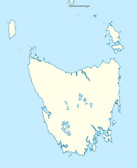
 Cressy
Population: 670[1] Postcode: 7302 Location: - 186 km (116 mi) N of Hobart
- 35 km (22 mi) S of Launceston
- 11 km (7 mi) S of Longford
LGA: Northern Midlands Council State District: Lyons Federal Division: Lyons Cressy is a small town located 35 kilometres (22 mi) south-west of Launceston, Tasmania. It came into existence in the 1850s to service the surrounding wheat farms. At the 2006 census, Cressy had a population of 670.[1] It is known as Tasmania's 'Trout capital' for the good fishing in the area. It is also home to an extensive agriculture research facility for the Tasmanian Institute of Agricultural Research.
Nearby towns include: Bishopsbourne, Bracknell, Liffey, Blackwood Creek, Poatina and Longford.
References
- ^ a b Australian Bureau of Statistics (25 October 2007). "Cressy (L) (Urban Centre/Locality)". 2006 Census QuickStats. http://www.censusdata.abs.gov.au/ABSNavigation/prenav/LocationSearch?collection=Census&period=2006&areacode=UCL603000&producttype=QuickStats&breadcrumb=PL&action=401. Retrieved 8 November 2011.
Coordinates: 41°41′S 147°05′E / 41.68°S 147.08°E
Categories:- Towns in Tasmania
- Midlands (Tasmania)
- Tasmania geography stubs

Wikimedia Foundation. 2010.