- Parshall, Colorado
Infobox Settlement
official_name = Parshall, Colorado
other_name =
native_name =
nickname =
settlement_type =Town
motto =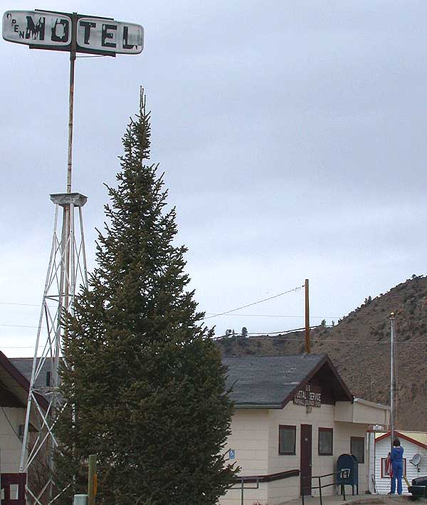
imagesize = 200px
image_caption = Post office in Parshall, Colorado
flag_size =
image_
seal_size =
image_shield =
shield_size =
image_blank_emblem =
blank_emblem_type =
blank_emblem_size =
mapsize =
map_caption =
mapsize1 =
map_caption1 =
image_dot_
dot_mapsize =
dot_map_caption =
dot_x = |dot_y =
pushpin_
pushpin_label_position = none
pushpin_map_caption = Location in Grand County and the state ofColorado
pushpin_mapsize =
subdivision_type = Country
subdivision_name = USA
subdivision_type1 = State
subdivision_name1 = flag|Colorado
subdivision_type2 = County
subdivision_name2 = GrandGR|3
subdivision_type3 =
subdivision_name3 =
subdivision_type4 =
subdivision_name4 =
government_footnotes =
government_type =
leader_title =
leader_name =
leader_title1 =
leader_name1 =
leader_title2 =
leader_name2 =
leader_title3 =
leader_name3 =
leader_title4 =
leader_name4 =
established_title =
established_date =
established_title2 =
established_date2 =
established_title3 =
established_date3 =
area_magnitude =
unit_pref = Imperial
area_footnotes =
area_total_km2 =
area_land_km2 =
area_water_km2 =
area_total_sq_mi =
area_land_sq_mi =
area_water_sq_mi =
area_water_percent =
area_urban_km2 =
area_urban_sq_mi =
area_metro_km2 =
area_metro_sq_mi =
area_blank1_title =
area_blank1_km2 =
area_blank1_sq_mi =
population_as_of =
population_footnotes =
population_note =
population_total =
population_density_km2 =
population_density_sq_mi =
population_metro =
population_density_metro_km2 =
population_density_metro_sq_mi =
population_urban =
population_density_urban_km2 =
population_density_urban_sq_mi =
population_blank1_title =
population_blank1 =
population_density_blank1_km2 =
population_density_blank1_sq_mi =
timezone = MST
utc_offset = -7
timezone_DST = MDT
utc_offset_DST = -6
latd= 40
latm= 03
lats= 24
latNS=N
longd= 106
longm= 10
longs= 29
longEW=W
elevation_footnotes = GR|3
elevation_m = 2313
elevation_ft =
postal_code_type =ZIP code
postal_code = 80468
area_code =
blank_name = GNIS feature ID
blank_info = [http://geonames.usgs.gov/pls/gnispublic/f?p=gnispq:3:::NO::P3_FID:0173266 0173266]
blank1_name =
blank1_info =
website =
footnotes =Parshall is an unincorporated town and a U.S. Post Office in Grand County,
Colorado ,United States . It is located along the south side ofU.S. Route 40 between Hot Sulphur Springs and Kremmling, on the north bank of the Colorado River downstream fromByers Canyon . The community consists of a cluster of houses and trailers, as well as a post office, church, tavern, and general store. The Parshall Post Office has theZIP Code 80468.cite web | date =January 2 2007 | url = http://zip4.usps.com/zip4/citytown.jsp | title = ZIP Code Lookup| format =JavaScript /HTML | publisher = United States Postal Service | accessmonthday = January 2 | accessyear = 2007]Commerce and industry
The Henderson Mill [ [http://www.climaxmolybdenum.com/WorldwideLocations/USA_Colorado_Henderson.htm ClimaxMoly: USA - Colorado - Henderson ] ] , at 19302 County Rd 3, Parshall, CO, 80468 is the biggest industry. It processess
molybdenum ore derived from athe Henderson Mine in Clear Creek County, just over theContinental Divide . There are tourist facilities, such as the Aspen Canyon Ranch [ [http://www.aspencanyon.com/index.htm Colorado Dude Ranch Colorado Guest Ranch Breckenridge CO Dude Ranch Breckenridge Colorado Guest Ranch Aspen Canyon Ranch ] ] , and fishing areas along theColorado River and atWilliams Fork River and Reservoir.Cattle ranching occupies much of the lower areas.Geography
Parshall is located at coor dms|40|03|24|N|106|10|29|W|city (40.056790,-106.174793).
References
External links

Wikimedia Foundation. 2010.