- Creswick, Victoria
-
Creswick
Victoria
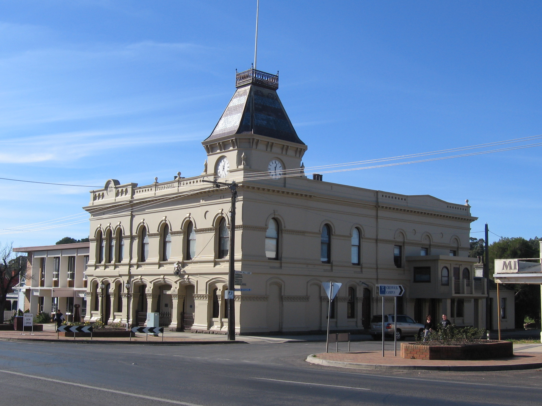
Former Town Hall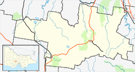
 Creswick
Population: 2,485(2006)[1] Postcode: 3363 Coordinates: 37°25′34″S 143°53′31″E / 37.426°S 143.892°ECoordinates: 37°25′34″S 143°53′31″E / 37.426°S 143.892°E Elevation: 430 m (1,411 ft) Location: LGA: Shire of Hepburn Federal Division: Ballarat Mean max temp Mean min temp Annual rainfall 17.8 °C
64 °F6.6 °C
44 °F742.7 mm
29.2 in"Creswick" redirects here. For the settlement in New Zealand formerly called Creswick, see Northland, Wellington.Creswick is a town in west-central Victoria, Australia. It is located 18 kilometres north of Ballarat and 129 km northwest of Melbourne, in Shire of Hepburn. It is 430 metres above sea level. At the 2006 census, Creswick had a population of 2,485. Creswick was named after the Creswick family, the pioneer settlers of the region.
Contents
History
The area was inhabited by the Wemba-Wemba people before white settlement. The pioneer white settlers were Henry, Charles and John Creswick, three brothers who started a large sheep station in 1842.
Creswick is a former gold-mining town, established during the Victorian gold rushes in the 1850s. The Post Office opened on 1 September 1854 but was named Creswick's Creek until around 1857.[2] The population reached a peak of 25,000 during the gold rush. Today, local industries include forestry, grazing and agriculture.
Creswick was the site of the New Australasian Gold Mine disaster on 12 December 1882, Australia's worst mining disaster in which 22 men drowned.[3]
The Town today
The original School of Forestry was established in 1910 by the Department of Forestry. It was the first institution set up in Victoria to train and accredit young foresters. Now the campus is part of The University of Melbourne. The campus is situated in Water Street and houses the School of Forest & Ecosystem Science, a highly-regarded research and teaching institution.
Creswick has three primary schools, two government and one Catholic - Creswick Primary School, Creswick North Primary School and St Augustines respectively.
The town has an Australian Rules football team competing in the Central Highlands Football League.[4]
Golfers play at The Forest Resort on the Midland Highway.[5]
The town also has an aged care facility. The John Curtain Memorial Hospital was formerly the townships health care hospital but was converted in 1998 to a nursing home.
Notable people
Creswick is the birthplace of the Lindsays, perhaps Australia's best known art family. Famous Lindsays (in birth order) were Percy Lindsay (landscape painter), Sir Lionel Lindsay (printmaker, painter and critic), Norman Lindsay (painter, sculptor and writer), Ruby Lindsay (illustrator) and Sir Daryl Lindsay (painter and arts administrator). Percy Lindsay painted many landscapes of the town and Norman Lindsay immortalised the town in his novel Redheap, a work that was banned for many years.
Other famous Creswickians include John Curtin, Australia's Prime Minister during World War II, and a Victorian Premier, Sir Alexander Peacock.
Transport
Creswick is located on the Midland Highway. Creswick railway station is served by V/Line train services to Ballarat and Maryborough,[6] as well as buses from Ballarat operated by Davis Bus Service.[7]
References
- ^ Australian Bureau of Statistics (25 October 2007). "Creswick (Urban Centre/Locality)". 2006 Census QuickStats. http://www.censusdata.abs.gov.au/ABSNavigation/prenav/LocationSearch?collection=Census&period=2006&areacode=UCL213200&producttype=QuickStats&breadcrumb=PL&action=401. Retrieved 1 February 2011.
- ^ Premier Postal History, Post Office List, https://www.premierpostal.com/cgi-bin/wsProd.sh/Viewpocdwrapper.p?SortBy=VIC&country=, retrieved 2008-04-11
- ^ Gold-Net Australia Online - May 1999
- ^ Full Points Footy, Creswick, http://www.fullpointsfooty.net/Creswick.htm, retrieved 2008-07-25
- ^ Golf Select, The Forest, http://www.golfselect.com.au/armchair/courseView.aspx?course_id=903, retrieved 2009-05-11
- ^ "New train service to Maryborough and Creswick". Metlink - Your guide to public transport in Melbourne and Victoria. www.metlinkmelbourne.com.au. Tuesday 20 July 2010. http://www.metlinkmelbourne.com.au/news/news-promotions/new-train-service-to-maryborough-and-creswick. Retrieved 2010-07-25.
- ^ "Ballarat - Creswick (Route 3)". Metlink - Your guide to public transport in Melbourne and Victoria. www.metlinkmelbourne.com.au. http://www.metlinkmelbourne.com.au/route/view/1792. Retrieved 2010-07-25.
External links
Towns in the Shire of Hepburn Allendale • Blampied • Broomfield • Bullarto • Campbelltown • Clunes • Creswick • Daylesford • Dean • Drummond North • Eganstown • Franklinford • Glenlyon • Hepburn Springs • Kingston • North Blackwood • Leonards Hill • Lyonville • Musk • Newbury • Newlyn • Rocklyn • Sailors Falls • Smeaton • Trentham • Yandoit •
Categories:- Towns in Victoria (Australia)
- Mining towns in Victoria (Australia)

Wikimedia Foundation. 2010.