- Shelby Place Historic District
Infobox_nrhp | name =Shelby Place Historic District
nrhp_type = hd
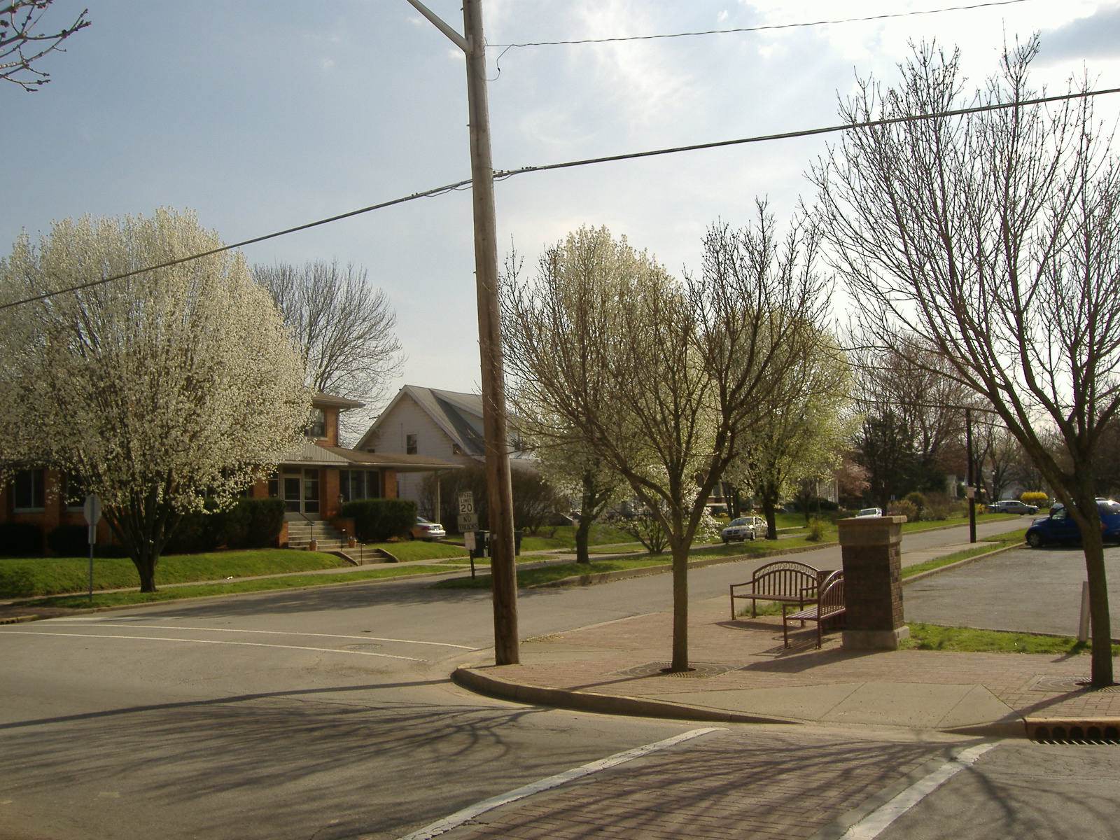
caption = Eastern Entrance
location=New Albany, Indiana
locmapin = Indiana
area =
architect= Day, Stephen & Sons
architecture= Queen Anne, Colonial Revival
added =March 19 ,2008
governing_body = Private
refnum=08000190cite web|url=http://www.nr.nps.gov/|title=National Register Information System|date=2007-01-23|work=National Register of Historic Places|publisher=National Park Service]Shelby Place Historic District is a registered historic district in
New Albany, Indiana , one mile north of theOhio River , across fromLouisville, Kentucky . It consists of the 1500 and 1600 blocks of the road Shelby Place. It was placed on the National Register due to its historic architectural designs. Immediately to the east Vincennes Street separates the district fromNew Albany High School . [Douglass, Theresa. "Shelby Place Historic District NRHP Registration Form"] [ [http://www.nps.gov/history/nr/listings/20080328.HTM National Register of Historic Places Listings ] ]The primary architectural style of the district is
Bungalow , although there are examples of Queen Anne, Dutch Colonial Revival,American Foursquare , and one Prairie-type. In total, 38 buildings and one site contributed to the historic nature of the district; fourteen buildings and one structure within the district do not contribute. The contributing buildings were built between 1907 and 1925, with the majority built within a five-year period of 1911-1916, 75% of which built in 1912 and 1913. Shelby Place started in 1906 as New Albany recovered from an economic depression, thanks to woodworking industries. To this day the district retains historic architectural integrity. Unlike nearby areas, Shelby Place has a wider street with central median. [Douglass Sec. 7, Pg. 1, 3] The sole non-building contributing feature of the district is the eastern entrance to Shelby Place, which consists of two five-feet tall square brick columns on concrete bases which are original to the district. Both have concrete caps which say "Shelby Place" on them. Two similar columns once occupied the western entrance of the district, but nothing remains of the northwestern column, and the southwestern has only remnants. [Douglass Sec. 7, Pg. 19]On March 23, 1917, a tornado that several damaged New Albany barely missed the district, causing minimal damage and no loss of buildings. The
Ohio River flood of 1937 caused some flooding in Shelby Place, but the south side was on higher ground, and thus did not suffer as badly as other parts of New Albany. [Douglass Sec. 8, Pg. 28]In 1994 an architectural study determined that Shelby Place could eventually achieve National Register status. In 2006 the
Indiana Department of Natural Resources gave a grant of $6,150 to the city of New Albany to prepare Shelby Place,Cedar Bough Place Historic District , and theDePauw Avenue Historic District for registration on theNational Register of Historic Places . (Depauw has a similar architecture style as Shelby Place's, but are mostly larger domicile's than Shelby Place's, and has more architectural diversity.) All three neighborhoods were placed on the National Register on March 19, 2008. [http://www.allbusiness.com/government/3665564-1.html DEPARTMENT OF NATURAL RESOURCES AWARDS 21 HISTORIC PRESERVATION GRANTS, May 10, 2006, Accessed April 3, 2008] [ [http://www.nps.gov/history/nr/listings/20080328.HTM National Register of Historic Places Listings ] ] [Douglass Sec. 8]References
Wikimedia Foundation. 2010.