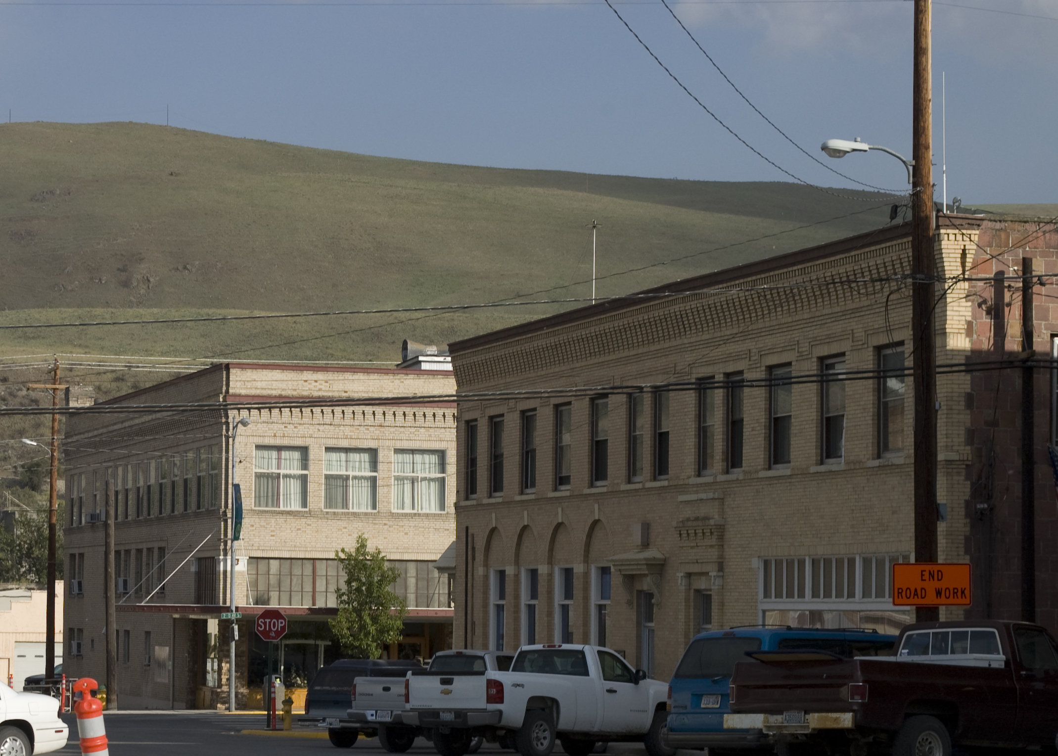
- Okanogan, Washington
-
For the Canadian region, see Okanagan.
Okanogan, Washington — Town —  Location of Okanogan, Washington
Coordinates: 48°22′0″N 119°34′52″W / 48.366667°N 119.58111°WCoordinates: 48°22′0″N 119°34′52″W / 48.366667°N 119.58111°W Country United States State Washington County Okanogan Area – Total 1.9 sq mi (4.8 km2) – Land 1.8 sq mi (4.7 km2) – Water 0.0 sq mi (0.1 km2) Elevation 840 ft (256 m) Population (2010) – Total 2,552 – Density 1,417.8/sq mi (543/km2) Time zone Pacific (PST) (UTC-8) – Summer (DST) PDT (UTC-7) ZIP code 98840 Area code(s) 509 FIPS code 53-50920[1] GNIS feature ID 1531489[2] Okanogan (
 /ˌoʊkəˈnɒɡən/ US dict: ōk′·ə·nŏg′·ən; derived from Syilx'tsn: "rendezvous" or "meeting place") is a town in Okanogan County, Washington, United States. The population was 2,552 at the 2010 census. It is the county seat of Okanogan County.[3]
It has a small commuter airfield, Okanogan Legion Airport - (S35) with one paved runway of 2,533 ft (772 m) in length.[4]
Contents
History
Okanogan was officially incorporated on October 29, 1907.
Geography
Okanogan is located at 48°22′0″N 119°34′52″W / 48.366667°N 119.58111°W (48.366694, -119.581139).[5]
According to the United States Census Bureau, the city has a total area of 1.9 square miles (4.8 km²), of which, 1.8 square miles (4.7 km²) of it is land and 0.04 square miles (0.1 km²) of it (2.14%) is water.
Demographics
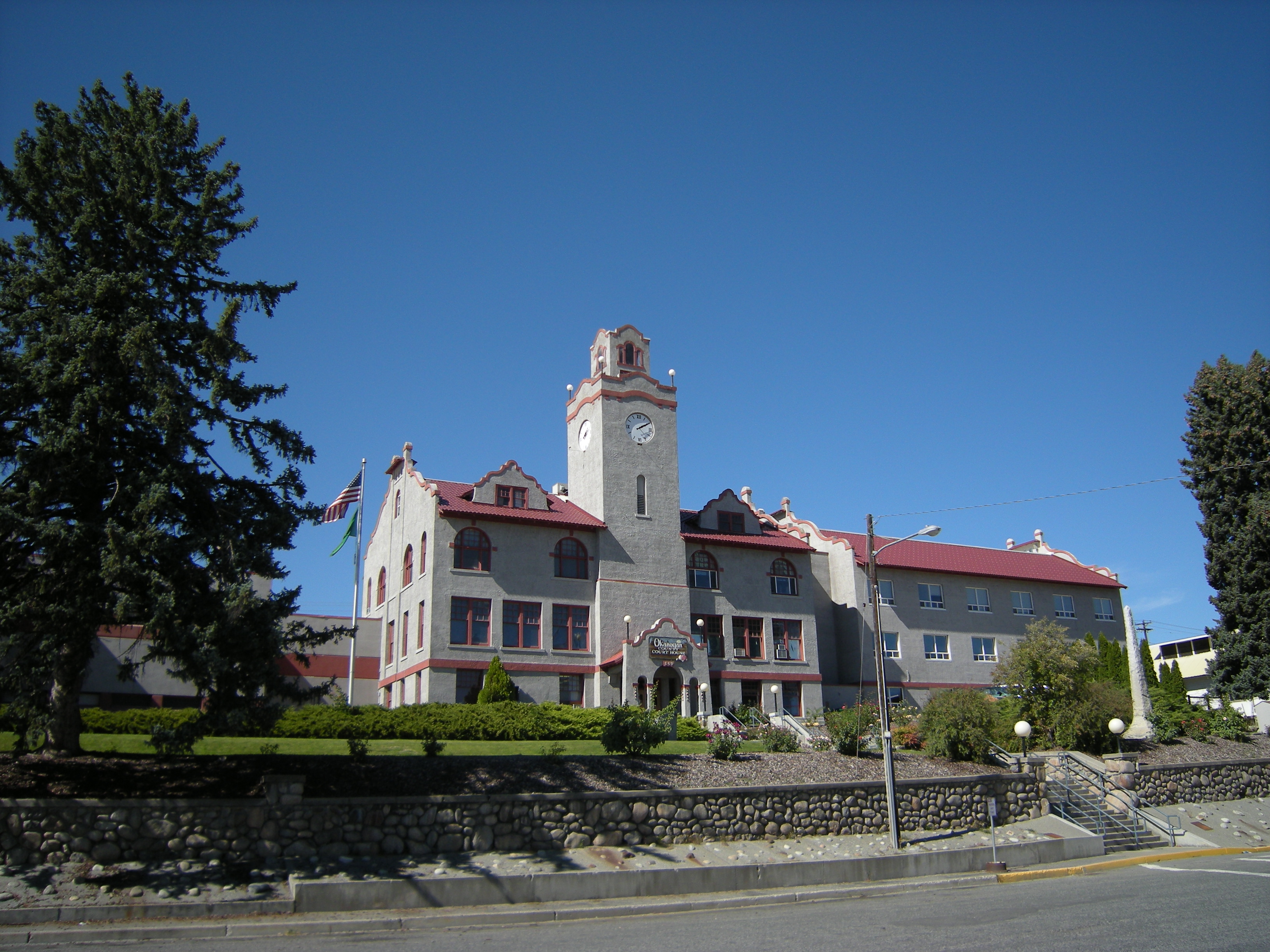
 Okanogan County Courthouse, Okanogan, Washington
Historical populations Census Pop. %± 1910 611 — 1920 1,015 66.1% 1930 1,519 49.7% 1940 1,735 14.2% 1950 2,013 16.0% 1960 2,001 −0.6% 1970 2,015 0.7% 1980 2,302 14.2% 1990 2,370 3.0% 2000 2,484 4.8% 2010 2,552 2.7% As of the census[1] of 2000, there were 2,484 people, 909 households, and 599 families residing in the city. The population density was 1,354.8 people per square mile (524.1/km²). There were 997 housing units at an average density of 543.8 per square mile (210.4/km²). The racial makeup of the city was 80.60% White, 0.36% African American, 8.17% Native American, 0.40% Asian, 0.08% Pacific Islander, 6.64% from other races, and 3.74% from two or more races. Hispanic or Latino of any race were 10.10% of the population.
There were 909 households out of which 37.1% had children under the age of 18 living with them, 48.1% were married couples living together, 13.4% had a female householder with no husband present, and 34.0% were non-families. 28.7% of all households were made up of individuals and 10.9% had someone living alone who was 65 years of age or older. The average household size was 2.49 and the average family size was 3.06.
In the city the population was spread out with 27.7% under the age of 18, 8.9% from 18 to 24, 26.4% from 25 to 44, 21.9% from 45 to 64, and 15.1% who were 65 years of age or older. The median age was 37 years. For every 100 females there were 99.7 males. For every 100 females age 18 and over, there were 94.6 males.
The median income for a household in the city was $26,994, and the median income for a family was $33,947. Males had a median income of $31,143 versus $20,822 for females. The per capita income for the city was $13,849. About 20.2% of families and 24.3% of the population were below the poverty line, including 31.9% of those under age 18 and 16.3% of those age 65 or over.
Sister city
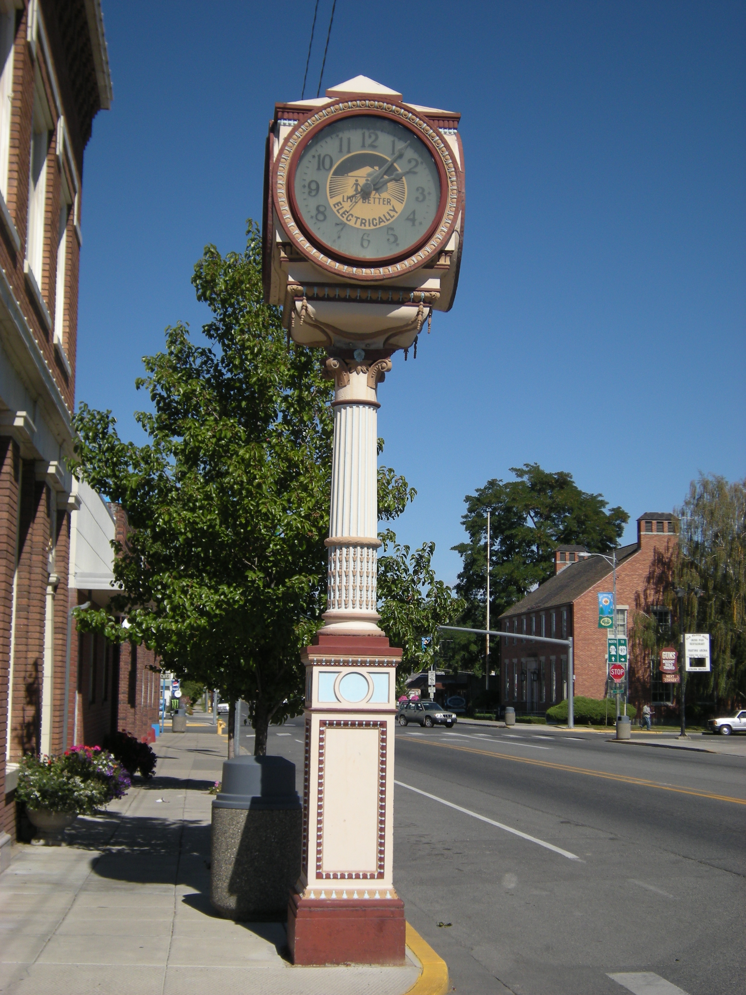
 Street clock and (at right) post office. The legend on the clock says "Live better electrically." The post office is listed on the National Register of Historic Places.
Okanogan has one Sister City, according to the Washington State Lt. Governor's list of Washington Sister Cities:
External links
References
- ^ a b "American FactFinder". United States Census Bureau. http://factfinder.census.gov. Retrieved 2008-01-31.
- ^ "US Board on Geographic Names". United States Geological Survey. 2007-10-25. http://geonames.usgs.gov. Retrieved 2008-01-31.
- ^ "Find a County". National Association of Counties. http://www.naco.org/Counties/Pages/FindACounty.aspx. Retrieved 2011-06-07.
- ^ AirNav
- ^ "US Gazetteer files: 2010, 2000, and 1990". United States Census Bureau. 2011-02-12. http://www.census.gov/geo/www/gazetteer/gazette.html. Retrieved 2011-04-23.
Municipalities and communities of Okanogan County, Washington County seat: OkanoganCities 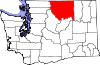
Towns Conconully | Coulee Dam ‡ | Elmer City | Nespelem | Riverside | Twisp | Winthrop
CDPs Unincorporated
communitiesIndian reservation Ghost towns Footnotes ‡This populated place also has portions in an adjacent county or counties
Categories:- Cities in Washington (state)
- Populated places in Okanogan County, Washington
- County seats in Washington (state)


Wikimedia Foundation. 2010.