- Normanton on Trent
-
Coordinates: 53°13′N 0°49′W / 53.22°N 0.82°W
Normanton on Trent 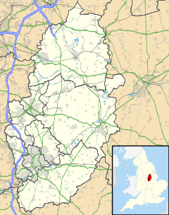
 Normanton on Trent
Normanton on Trent shown within NottinghamshirePopulation 299 OS grid reference SK790690 District Bassetlaw Shire county Nottinghamshire Region East Midlands Country England Sovereign state United Kingdom Post town NEWARK Postcode district NG23 Police Nottinghamshire Fire Nottinghamshire Ambulance East Midlands EU Parliament East Midlands List of places: UK • England • Nottinghamshire Normanton on Trent is a village in Nottinghamshire, England. It is nine miles south-east of Retford. According to the 2001 census it had a population of 299.[1]
The parish church of St Matthew is 13th century.[2] There are two pubs there too, however, no shop, and so the nearest shop is the co op, in Sutton-on-Trent. There is a school in Normanton-on-Trent called St.Matthews C of E Primary school.
References
- ^ "Area: Normanton on Trent CP (Parish)"
- ^ Pevsner, Nikolaus. 1979. The Buildings of England: Nottinghamshire. page 210. Harmondsworth, Middx. Penguin.
External links
 Media related to Normanton on Trent at Wikimedia CommonsCategories:
- Villages in Nottinghamshire
- Nottinghamshire geography stubs

Wikimedia Foundation. 2010.