- Eureka Municipal Airport (California)
-
Eureka Municipal Airport 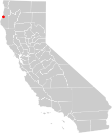
O33's location in California IATA: none – ICAO: none – FAA LID: O33 Summary Airport type Public Owner City of Eureka Serves Eureka, California Elevation AMSL 20 ft / 6 m Coordinates 40°46′51″N 124°12′44″W / 40.78083°N 124.21222°W Runways Direction Length Surface ft m 16/34 2,700 823 Asphalt Statistics (2004) Aircraft operations 5,000 Based aircraft 18 Source: Federal Aviation Administration[1] Eureka Municipal Airport (FAA LID: O33) is a city-owned, public-use airport located two miles (3 km) west of the central business district of Eureka, a city in Humboldt County, California, United States.[1] The airport is on the northern peninsula of Humboldt Bay.
Contents
Facilities and aircraft
Eureka Municipal Airport covers an area of 657 acres (266 ha) and is approximately 20 ft (6.1 m). above mean sea level (MSL). It has one runway, 16/34, with a 2,700 x 60 ft (823 x 18 m) asphalt surface. It is used entirely for general aviation purposes; 60% of traffic being local and 40% being transient. For the 12-month period ending December 3, 2004, the airport had 5,000 aircraft operations, an average of 13 per day. At that time there were 18 aircraft based at this airport: 89% single-engine and 11% ultralight.[1]
Other local airports
- Arcata-Eureka Airport
- Kneeland Airport - located ten miles (16 km) southeast of Eureka
- Murray Field - located in Eureka
References
External links
- Resources for this airport:
- AirNav airport information for O33
- FlightAware airport information and live flight tracker
- SkyVector aeronautical chart for O33
Categories:- Airports in Humboldt County, California
- Eureka, California
- California airport stubs

Wikimedia Foundation. 2010.