- 34th Street–Herald Square (New York City Subway)
Infobox NYCS
name = 34th Street–Herald Square
bg_color = black
accessible = yes
service = Herald Square
passengers = 36.403 million
pass_year=2006
pass_percent=4
borough = Manhattan
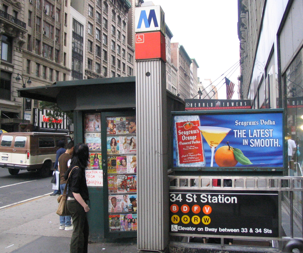
connection = PATH at 33rd Street34th Street–Herald Square is a
New York City Subway station complex on theBMT Broadway Line and theIND Sixth Avenue Line and is the third busiest station on the network. It is located atHerald Square inMidtown Manhattan where 34th Street, Broadway and Sixth Avenue intersect, and is served by:
*, NYCS|F, NYCS|N and NYCS|Q trains at all times
* trains at all times except late nights
*, NYCS|V and NYCS|W trains weekdaysJust south of the complex, an underground connection is available to PATH at 33rd Street. There is an exit from the station directly into the
Manhattan Mall , andMacy's flagship store is located just outside the station. Pennsylvania Station is one block west. Since the closure of an underground walkway between the two stations in the 1990s, passengers must walk at street level to transfer.Renovations
34th Street station complex was overhauled in the late 1970s. MTA fixed the station's structure and renovated its appearance. It replaced the original wall tiles, old signs, and incandescent lighting to the 70's modern look wall tile band and tablet mosaics, signs and fluorescent lights. It also fixed staircases and platform edges. In the early 1990s, the station was receiving another major repair as well as an upgrade for
ADA compliance and modernized wall tiling. MTA did repair the staircases, re-tiling for the walls, new tiling on the floors, upgrading the station's lights and the public address system, installing ADA safety threads along the platform edge, new signs, and new trackbeds in both directions."REACH New York, An Urban Musical Instrument"
In 1996, artist Christopher Janney installed "REACH New York, An Urban Musical Instrument." The piece consists of green racks with sensors hanging along the platforms of the BMT Broadway line. Waving one's hands in front of the sensors creates a corresponding sounds from the rack.
BMT Broadway Line platforms
Infobox NYCS
font_color = black
font_color_2 = black
bg_color = #FFC800

line = BMT Broadway Line
service = Broadway
platforms = 2island platform s
tracks = 4
open_date =January 5 ,1918 New York Times , [http://www.nycsubway.org/articles/nytimes-1918-broadway.html Open New Subway to Times Square] ,January 6 ,1918 ]
north_line = New York City Subway
north_station = Times Square–42nd Street
north_station_acc = yes
north_service = Broadway
south_line = BMT Broadway Line
south_local_station = 28th Street
south_local_service = Broadway local
south_express_station = 14th Street–Union Square
south_express_station_acc = yes
south_express_service = Broadway express34th Street on the BMT Broadway Line has 2 island platforms. These platforms opened several years after the opening of the
Port Authority Trans-Hudson station; the Sixth Avenue platforms were built later.IND Sixth Avenue Line platforms
Infobox NYCS
bg_color = #FF6E1A
line = IND Sixth Avenue Line
service = Sixth
platforms = 2island platform s
tracks = 4
borough = Manhattan
open_date =December 15 ,1940
north_station = 42nd Street–Bryant Park
north_line = IND Sixth Avenue Line
north_service = Sixth
south_line = IND Sixth Avenue Line
south_local_station = 23rd Street
south_local_service = Sixth local
south_express_station = West Fourth Street–Washington Square
south_express_station_acc = yes
south_express_service = Sixth express34th Street on the IND Sixth Avenue Line has 2 island platforms. The station has many entrances and exits, including one directly into
Manhattan Mall and another that extends to the eastern side of Fifth Avenue.The platforms are not equal in length, as the northbound platform is longer than the southbound, which explains why northbound trains stop at a long distance from the north end of the platform.
During construction on the IND portion of this station, constructors had to counter problems in their path. For one, the BMT and PATH platforms existed decades before this portion of the station was completed. Constructors had to dig deeper in order to pass the original platforms without interference, as well as avoiding wires and pipes.
Until around mid-1980s, there were passageways (but not free transfers) to the adjacent 42nd Street–Bryant Park station to the north and to 34th Street–Penn Station on the
IRT Broadway-Seventh Avenue Line .Bus connections
*M4
*M5
*M6
*M7
*M16
*M34
*Q32Bombing plot
On
August 28 ,2004 ,Shahawar Matin Siraj and James Elshafay were arrested for planning to bomb the station during the2004 Republican National Convention .References
External links
* [http://www.nycsubway.org/ nycsubway.org]
** [http://www.nycsubway.org/perl/stations?202:215 BMT Broadway Subway: 34th Street/Herald Square]
** [http://www.nycsubway.org/perl/stations?221:214 IND 6th Avenue: 34th Street/Herald Square]
*Station Reporter — [http://www.stationreporter.net/heraldsq.htm Herald Square Complex]
Wikimedia Foundation. 2010.