- Middlebourne, West Virginia
-
Middlebourne, West Virginia — Town — Main Street in Middlebourne in 2006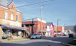 Location of Middlebourne, West Virginia
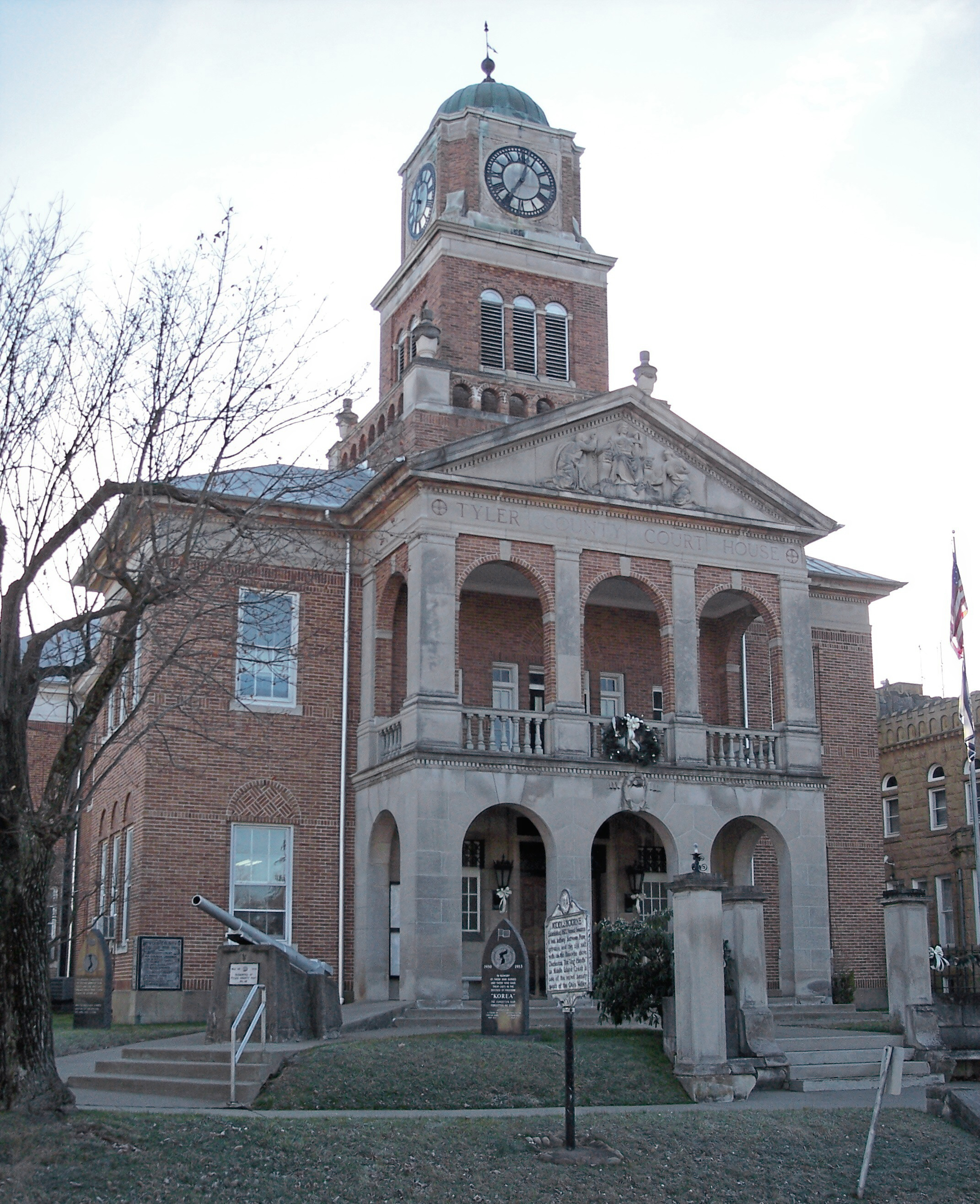
Coordinates: 39°29′38″N 80°54′21″W / 39.49389°N 80.90583°WCoordinates: 39°29′38″N 80°54′21″W / 39.49389°N 80.90583°W Country United States State West Virginia County Tyler Area – Total 0.4 sq mi (1.0 km2) – Land 0.4 sq mi (1.0 km2) – Water 0.0 sq mi (0.0 km2) Elevation 735 ft (224 m) Population (2000) – Total 870 – Density 2,320.0/sq mi (895.8/km2) Time zone Eastern (EST) (UTC-5) – Summer (DST) EDT (UTC-4) ZIP code 26149 Area code(s) 304 FIPS code 54-53572[1] GNIS feature ID 1543226[2] 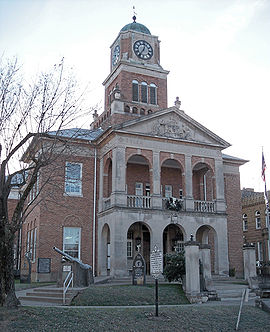 The Tyler County Courthouse in Middlebourne in 2006
Middlebourne is a town in Tyler County, West Virginia, USA. The population was 870 at the 2000 census. It is the county seat[3] and was established by an enactment of the Virginia General Assembly in 1813.[4] Two explanations have been given for the name of the town: One is that it was located halfway between Pennsylvania and a series of salt wells along the Kanawha River upstream of Charleston; the other is that it is located midway between the source and the mouth of Middle Island Creek,[4] which flows through the town.[5]
Geography
Middlebourne is located at 39°29′38″N 80°54′21″W / 39.49389°N 80.90583°W (39.493966, -80.905751).[6]
According to the United States Census Bureau, the town has a total area of 0.4 square miles (1.0 km²), all land.
Demographics
As of the census[1] of 2000, there were 870 people, 370 households, and 247 families residing in the town. The population density was 2,320.0 inhabitants per square mile (907.9/km²). There were 402 housing units at an average density of 1,072.0 per square mile (419.5/km²). The racial makeup of the town was 99.54% White, and 0.46% from two or more races.
There were 370 households out of which 30.0% had children under the age of 18 living with them, 51.9% were married couples living together, 11.9% had a female householder with no husband present, and 33.2% were non-families. 31.4% of all households were made up of individuals and 16.8% had someone living alone who was 65 years of age or older. The average household size was 2.31 and the average family size was 2.89.
In the town the population was spread out with 23.3% under the age of 18, 7.5% from 18 to 24, 25.1% from 25 to 44, 28.7% from 45 to 64, and 15.4% who were 65 years of age or older. The median age was 42 years. For every 100 females there were 85.1 males. For every 100 females age 18 and over, there were 80.3 males.
The median income for a household in the town was $128,704, and the median income for a family was $40,893. Males had a median income of $35,000 versus $19,167 for females. The per capita income for the town was $14,673. About 12.6% of families and 13.9% of the population were below the poverty line, including 18.3% of those under age 18 and 11.9% of those age 65 or over.
References
- ^ a b "American FactFinder". United States Census Bureau. http://factfinder.census.gov. Retrieved 2008-01-31.
- ^ "US Board on Geographic Names". United States Geological Survey. 2007-10-25. http://geonames.usgs.gov. Retrieved 2008-01-31.
- ^ "Find a County". National Association of Counties. http://www.naco.org/Counties/Pages/FindACounty.aspx. Retrieved 2011-06-07.
- ^ a b Kenny, Hamill (1945). West Virginia Place Names: Their Origin and Meaning, Including the Nomenclature of the Streams and Mountains. Piedmont, West Virginia: The Place Name Press. pp. 412–413.
- ^ West Virginia Atlas & Gazetteer. Yarmouth, Me.: DeLorme. 1997. pp. 24. ISBN 0-89933-246-3.
- ^ "US Gazetteer files: 2010, 2000, and 1990". United States Census Bureau. 2011-02-12. http://www.census.gov/geo/www/gazetteer/gazette.html. Retrieved 2011-04-23.
Municipalities and communities of Tyler County, West Virginia County seat: MiddlebourneCities 
Towns Friendly | Middlebourne
Unincorporated
communitiesFootnotes ‡This populated place also has portions in an adjacent county or counties
Categories:- County seats in West Virginia
- Populated places established in 1813
- Towns in West Virginia
- Populated places in Tyler County, West Virginia


Wikimedia Foundation. 2010.