- New York State Route 185
-
This article is about the current alignment of NY 185. For the former alignment of NY 185 in St. Lawrence County, see New York State Route 185 (1930s–1980).
NYS Route 185
Bridge Road 
Map of Crown Point and vicinity with NY 185 highlighted in redRoute information Maintained by NYSDOT Length: 3.93 mi[2] (6.32 km) Existed: April 4, 2008[1] – present Major junctions West end: 
 NY 9N / NY 22 in Crown Point
East end:  VT 17 at New York / Vermont state line in Crown Point
Location Counties: Essex Highway system Numbered highways in New York
Interstate • U.S. • N.Y. (former) • Reference • County←  NY 184
NY 186  →
→New York State Route 185 (NY 185) is an east–west state highway in Essex County, New York, United States. It serves as a connector between NY 9N and NY 22 in Crown Point and the site of the former Champlain Bridge, by which the highway entered Vermont and became Vermont Route 17. NY 185, named Bridge Road, passes through Crown Point State Historic Site and runs the entire length of Crown Point, a peninsula protruding into Lake Champlain.
NY 185 was assigned on April 4, 2008, as a signed replacement for New York State Route 910L, an unsigned reference route. It is the third signed designation that Bridge Road has carried, preceded by New York State Route 347 (during the early 1930s) and NY 8 (1930s to the 1960s). NY 185 originally connected to the Champlain Bridge on its east end; however, the bridge was closed on October 16, 2009, and demolished on December 28, 2009. The new bridge re-opened November 7, 2011.[3]
Contents
Route description
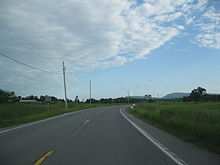
 Western terminus of NY 185 as it appeared in 2005
Route 185 begins at an intersection with NY 9N and NY 22 in Crown Point. The route progresses eastward as Bridge Road as a two-lane highway. After the western terminus, there is a fork in the road; to the left is NY 185, to the right is a road to a housing development. Most of NY 185 runs along the lowlands around Lake Champlain, making curves at an intersections, and heading on relatively flat elevations. As Route 185 approaches the lake, it makes a curve to the north. There, it intersects with County Route 48 (Lake Road) and heads along the shoreline.[4]
Route 185 begins to approach the Champlain Bridge; the highway then passes to the east of the Crown Point State Historic Site and its campground before heading up the bridge approach. After making a final curve to the northeast, NY 185 ends at the former site of the Champlain Bridge on the shoreline of Lake Champlain.[4][5]
History
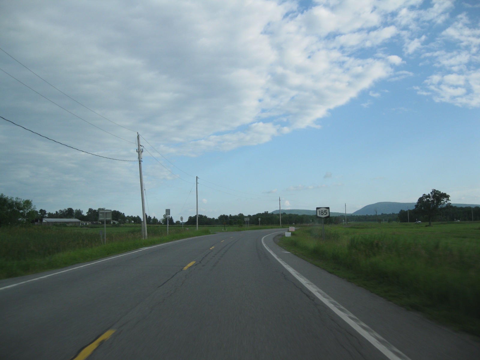
 NY 185 heading through rural Crown Point
The Champlain Bridge was built in 1929, connecting Crown Point in New York to Chimney Point in Vermont.[6] A short connector highway between the bridge—which linked to Vermont Route 17 in Vermont—and NY 22 in Crown Point, named Bridge Road, was originally designated as NY 347 as part of the 1930 renumbering of state highways in New York.[7] NY 347 became part of an extended NY 8 ca. 1934.[8][9]
NY 8 was truncated south to Hague ca. 1968, eliminating a lengthy overlap with NY 22 and NY 9N.[10][11] Its former routing along Bridge Road became NY 903, an unsigned reference route.[12] The NY 903 designation was later replaced with NY 910L when a new numbering system for reference routes was adopted by the New York State Department of Transportation.[13] NY 910L was redesignated and signed as NY 185 on April 4, 2008.[1] On October 16, 2009, the Champlain Bridge was closed to traffic due to structural concerns.[14] The bridge was demolished on December 28, 2009, as a result of those concerns, temporarily reducing NY 185 in purpose to a spur route linking NY 9N and NY 22 to Crown Point.[15]
Major intersections
The entire route is in Crown Point, Essex County.
Mile[2] Destinations Notes 0.00 NY 9N / NY 223.93 VT 17New York – Vermont state line 1.000 mi = 1.609 km; 1.000 km = 0.621 mi See also
References
- ^ a b New York State Department of Transportation (January 2009) (PDF). Official Description of Highway Touring Routes, Bicycling Touring Routes, Scenic Byways, & Commemorative/Memorial Designations in New York State. https://www.nysdot.gov/divisions/operating/oom/transportation-systems/repository/2009%20tour-bk.pdf. Retrieved January 1, 2010.
- ^ a b Yahoo! Inc. Yahoo! Maps – Overview map of Route 185 without Champlain Bridge (Map). Cartography by NAVTEQ. http://maps.yahoo.com/#mvt=m&lat=44.032393&lon=-73.422834&zoom=17&q1=43.996553%2C-73.454742&q2=44.030488%2C-73.425001. Retrieved December 28, 2009.
- ^ Waldman, Scott (November 6, 2011). "Lake Champlain Bridge set to open". The Albany Times-Union (Albany, New York). http://www.timesunion.com/local/article/Lake-Champlain-Bridge-set-to-open-2251370.php. Retrieved November 7, 2011.
- ^ a b Yahoo! Inc. Yahoo! Maps – overview map of NY 185 (Map). Cartography by NAVTEQ. http://maps.yahoo.com/#mvt=h&lat=44.028596&lon=-73.425302&zoom=18&q1=43.996521%2C-73.454661&q2=44.032631%2C-73.423247. Retrieved December 13, 2008.
- ^ Google, Inc. Google Maps – overview map of NY 185 (Map). Cartography by Google, Inc. http://maps.google.com/maps?sourceid=navclient&ie=UTF-8&rlz=1T4ADBF_enUS232US232&q=from:+Bridge+Rd/RT-903+%4043.996560,+-73.454810+to:+RT-903+%4044.032780,+-73.423170&um=1&sa=N&tab=il. Retrieved March 16, 2008.
- ^ "Champlain Bridge Opened With Fete". The New York Times: p. 34. August 27, 1929. http://select.nytimes.com/gst/abstract.html?res=F50D1FFA3A5C177A93C5AB1783D85F4D8285F9&scp=1&sq=champlain%20bridge&st=cse. Retrieved October 31, 2009.
- ^ Standard Oil Company of New York (1930). Road Map of New York (Map). Cartography by General Drafting.
- ^ Texas Oil Company (1933). Texaco Road Map – New York (Map). Cartography by Rand McNally and Company.
- ^ Texas Oil Company (1934). Road Map of New York (Map). Cartography by Rand McNally and Company.
- ^ United States Geological Survey (1967). Glens Falls, NY Quadrangle (Map). 1:250,000. Eastern United States 1:250,000. http://www.lib.utexas.edu/maps/topo/250k/txu-pclmaps-topo-us-glens_falls-1967.jpg. Retrieved December 7, 2007.
- ^ Esso (1968). New York (Map). Cartography by General Drafting (1969–70 ed.).
- ^ United States Geological Survey (1980). Port Henry, NY Quadrangle (Map). 1:24,000. Eastern United States 1:24,000. http://www.nysgis.state.ny.us/gisdata/quads/drg24/usgspreview/index.cfm?code=k44073a3. Retrieved February 2, 2008.
- ^ New York State Department of Transportation (October 2004) (PDF). Official Description of Highway Touring Routes, Scenic Byways, & Bicycle Routes in New York State. https://www.nysdot.gov/divisions/operating/oom/transportation-systems/repository/tour_route_0.pdf. Retrieved May 12, 2009.
- ^ "Champlain Bridge closed amid safety concerns". WCAX-TV (Burlington, Vermont). October 16, 2009. http://www.wcax.com/Global/story.asp?S=11328069. Retrieved October 19, 2009.
- ^ "It's down! Champlain Bridge imploded". Times Union (Albany, New York). December 28, 2009. http://www.timesunion.com/AspStories/story.asp?storyID=882461. Retrieved December 28, 2009.
External links
 Highways in Essex County, New York
Interstate 87 • New York State Route 185 • New York State Route 192 • New York State Route 373 • New York State Route 431 • New York State Route 910K • New York State Route 910M • New York State Route 912T • New York State Route 913Q • New York State Route 915F • New York State Route 915K
Categories:- State highways in New York
- Transportation in Essex County, New York


Wikimedia Foundation. 2010.