- Chapel Ash
-
Chapel Ash 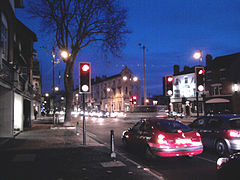
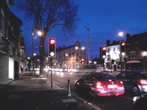
Chapel Ash at nightRegion West Midlands Country England Sovereign state United Kingdom Post town Wolverhampton Postcode district WV Dialling code 01902 Police Fire Ambulance West Midlands EU Parliament West Midlands List of places: UK • England • Chapel Ash is a small area in Wolverhampton surrounded by the City Centre, Whitmore Reans & Merridale.
The area is most noted for being the home of Marston's, where the Park Brewery produces the well-known Banks's range of ales
Contents
History
Owing to its prominent position on the London to Holyhead road, Chapel Ash has always been an important thoroughfare, though it didn't reach its current stage of urbanisation until the 1870s. The name, 'Chapel Ash' is believed to refer to a Chapel & burial ground referred to in the 16th century, to the west of the town centre - William Yates' '1775 Map of the County of Stafford' has the name written next to the junction of the roads from Bridgnorth and Shrewsbury, the possible site of the medieval chapel. In 1823, Darlington Street had been constructed, linking Wolverhampton's 'High Green' (now Queen Square) to the westward route out of the town - still rural at this time. Some twenty six years later, St Mark's Church was constructed. By 1871, the majority of the buildings we see today in Chapel Ash were in place. From 1875 onwards, Park Brewery was up and running. The area was quite prosperous until the coming of the Ring Road, which cut Chapel Ash off from the town centre during the 1970s[1].
Today
Chapel Ash is dominated by an arterial route out of the city, which splits into three; the first is the continuation of the A41 road from London to Holyhead (via Telford and Shrewsbury), the second is the A454 to Bridgnorth in Shropshire, and the third is a smaller route to the adjacent area of Merridale, Penn and Bradmore. Housing is predominately Victorian era dwellings, with a mix of early villas, later terraces and some local authority social housing and private homes built between the 1920 - 1950 period.
Chapel Ash has a variety of different businesses based in the area, including a Harley-Davidson dealership and an independent motorcycle sales and service outlet, a tattoo parlour (Tattoo Palace), an Italian restaurant (Bella), art shop, recruitment agency, Dixon's Paints, estate agencies and bathroom furnishings. There are many food takeaway stores, a Barclays bank and People Plus Recruitment.
Chapel Ash has been regularly criticised for the poor condition of many of the commercial properties, with features in the local press highlighting several aspects of the area. Chapel Ash was also in the news for another negative reason on 29 September 2010, when a man was found murdered on Clifton Street.
Public houses
Chapel Ash is well served by three local pubs - The Combermere Arms, The Clarendon Hotel and The Alexandra.
The Clarendon Hotel is situated next to Banks's Brewery at the junction of Chapel Ash and Lovatt Street. It has recently (November 2010) benefited from a refurbishment.
References
- ^ Chapel Ash Conservation Area Appraisal & Management Proposals (March 2007) http://www.wolverhampton.gov.uk/NR/rdonlyres/4673C186-5F2D-49B8-998E-585EB9C68100/0/chapel_ash_caa.pdf
Categories:- Areas of Wolverhampton
Wikimedia Foundation. 2010.