- Namdrik Atoll
-
Namdrik Atoll 
Landsat picture of Namdik Atoll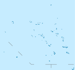
 Namdrik Atoll (Marshall islands)
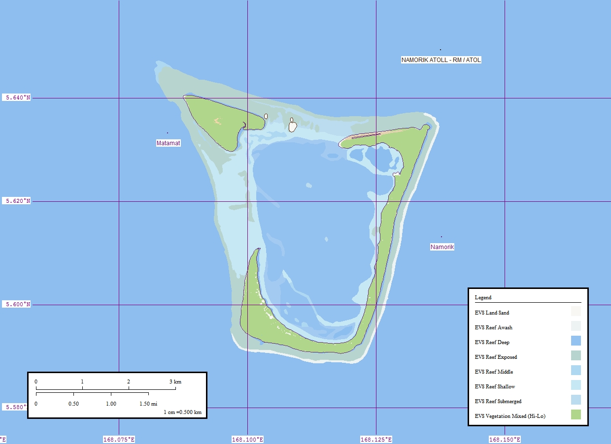
Geography Location North Pacific Coordinates 05°37′00″N 168°07′00″E / 5.6166667°N 168.1166667°E Archipelago Ralik Total islands 2 Area 2.8 km2 (1.08 sq mi) Highest elevation 3 m (10 ft) Country Demographics Population 814 (as of 1998) Ethnic groups Marshallese  Namorik Atoll MH: Marplot Map (1:50,000)
Namdrik Atoll or Namorik Atoll (Marshallese: Nam̧dik, /nʲamˠrʲɨk/ or [næ͡ɑm̴ʌ͡ɛr̟i͡ɯk][1]) is a coral atoll of two islands in the Pacific Ocean, and forms a legislative district of the Ralik Chain of the Marshall Islands. Its total land area is only 2.8 square kilometres (1.1 sq mi), but it encloses a lagoon with an area of 8.4 square kilometres (3.2 sq mi).
Namdrik Atoll is located approximately 145 kilometres (90 mi) west-southwest of Jaluit, and 117 kilometres (73 mi) northwest of Ebon Atoll. The atoll consists of two large wooded islets. The larger (also called Namorik) wraps around the centra lagoon from the southwest to the northeast, while the smaller island closes off the northwest corner of the lagoon. A coral islet stands between them on the reef, with numerous black boulders. The very shallow lagoon is cut off from the sea by the drying coral reef. Boats can cross the reef with difficulty, at high water on the west side of the atoll.
Landing near the west side of Namorik Islet can be effected about 90 meters south of it. There is no shelter during northeast winds, and it is dangerous with strong southwest winds when there is a heavy sea. There is a fringing reef which extends about 135 meters in the vicinity of the landing place. There is depth of about 1.2 meters and there are rocks in places. Two stranded wrecks lie about 90 meters off the south shore along the reef line. (Sailing Directions Pub-153)
History
Namdrik Atoll was claimed by the Empire of Germany along with the rest of the Marshall Islands in 1884. After World War I, the island came under the South Pacific Mandate of the Empire of Japan. Following the end of World War II, it came under the control of the United States as part of the Trust Territory of the Pacific Islands until the independence of the Marshall Islands in 1986.
References
External links
Marshall Islands - Bold indicates populated islands
- Italics indicate single island
Ratak Chain (Sunrise, Eastern) 
Ralik Chain (Sunset, Western) Categories:- Atolls of the Marshall Islands
- Ralik Chain
- Municipalities of the Marshall Islands
- Marshall Islands geography stubs


Wikimedia Foundation. 2010.