- Moises Padilla, Negros Occidental
-
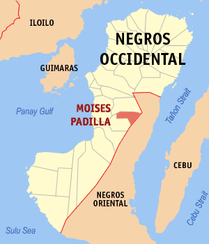
 Map of Negros Occidental showing the location of Moises Padilla
Moises Padilla is a 4th class municipality in the province of Negros Occidental, Philippines. According to the 2000 census, it has a population of 34,658 people in 6,376 households.
Moises Padilla is formerly called Magallon. In 1951, the barrios of Magallon, Odiong and Guinpanaan, then belonging to the town of Isabela, were separated to form the town of Magallon. The boundary between the two towns were as surveyed by the Bureau of lands in accordance with Resolution No. 1. of the joint session of the Provincial Board of Negros Occidental and the Municipal Council of Isabela dated November 15, 1949, and subsequently concurred to by Resolution No. 79 of the Municipal Council of Isabela dated December 26, 1949.[1]
In 1957, the town was renamed to Moises Padilla.[2]
The town is famous for its vast livestock yard, the major source of income of the town. Traders all over the island of Negros come to buy, sell, and trade all kinds of farm and dairy animals. The town's official emblem shows the Carabao or the Water Buffalo.
Contents
Geography
Moises Padilla is situated in central part of Negros Island. The location of the town is best for viewing the mount Canlaon in its near perfect cone shape. Along the east side part of the town is the longest river in Negros Island, the Binalbagan River.
The town is amazingly having its natural spring water right in the heart of the town. Large concrete storage tank was constructed to store the never ending supply of clean and fresh water. No mechanical device needed to extract the rare wealth, it just flowing free and filled the tank endlessly.
History
Three miles north from the town is a small sitio called Magallon Cadre. Here lie the ruins of field hospital of the U.S. Army and USAFEE before the World War II. Magallon had witnessed the brutality and terror of World War II. However no event was ever recorded in public documents. It is believed and verified by older citizens that the opening attack of Japanese invaders were sending the two well-armed Mitsubishi Zero fighters. The Japanese commander had chosen cleverly to initiate the attack during the market day of the Magallon which is every Tuesdays; where the large population gathered and met to buy food, clothing, farm tools, and everything of value. According to witnesses, the two Japanese Zero fighters began their low level flight from Crossing Magallon all the way to the heart of Magallon that have a distance of about 7 kilometers. They strafed any thing that moves in the road; people, children, and animals of all kinds. They finally dropped their two lethal cargoes of bombs right in the center of the market. After recovering from initial shock, the Japanese infantry began pouring in from every direction of the barangay.
After the war, the town is still called Magallon. It was only changed to "Moises Padilla" after the late Moises Padilla. He was a public figure who was tortured and killed for political reasons by assassins of former Governor Rafael Lacson in Negros Island.
Padilla was declared a martyr by the late Ramon Magsaysay, then a Secretary of National Defense during the early 1950s. It was believed that Moises Padilla was an ardent supporter of Magsaysay in every political arena after the war.
Economy
Sugarcane; rice; corn; root crops; lumber; livestock
Transportation
Regular trips of bus and other utility vehicles to and from Bacolod City, Canlaon City in Negros Oriental, and Cebu City.
Religion
Majority of Christians
Languages
Hiligaynon; Cebuano; Tagalog; English
Barangays
Moises Padilla is politically subdivided into 15 barangays.
- Barangay 1 (Pob.)
- Barangay 2 (Pob.)
- Barangay 3 (Pob.)
- Barangay 4 (Pob.)
- Barangay 5 (Pob.)
- Barangay 6 (Pob.)
- Barangay 7 (Pob.)
- Crossing Magallon
- Guinpana-an
- Inolingan
- Macagahay
- Magallon Cadre
- Montilla
- Odiong
- Quintin Remo
References
- ^ "An act creating the municipality of Magallon in the province of Negros Occidental". LawPH.com. http://lawph.com/statutes/ra631.html. Retrieved 2011-04-09.
- ^ "An Act Changing the Name of the Municipality of Magallon in the Province of Negros Occidental to Municipality of Moises Padilla". LawPH.com. http://lawph.com/statutes/ra1630.html. Retrieved 2011-04-12.
External links
Municipalities Component cities - Bago
- Cadiz
- Escalante
- Himamaylan
- Kabankalan
- La Carlota
- Sagay
- San Carlos
- Silay
- Sipalay
- Talisay
- Victorias
Highly urbanized city (Administratively independent from the province, but grouped under Negros Occidental by the National Statistics Office)Categories:- Municipalities of Negros Occidental
Wikimedia Foundation. 2010.