Wahroonga railway station, Sydney

Wahroonga railway station, Sydney

Cityrail Station alt|station_name=Wahroonga


servicearea=North Shore Line
servicearea_color=#North Shore line colour
servicearea_textcolor=black
code=WHG
suburb=Wahroonga
street=Railway Pde
distance=22.77
altitude=189.9
traintype=Suburban all stops
platforms=2
tracks=2
platform_arr=1 Island
stationtype=Ground
gates=No
connect=Bus
disabled=No
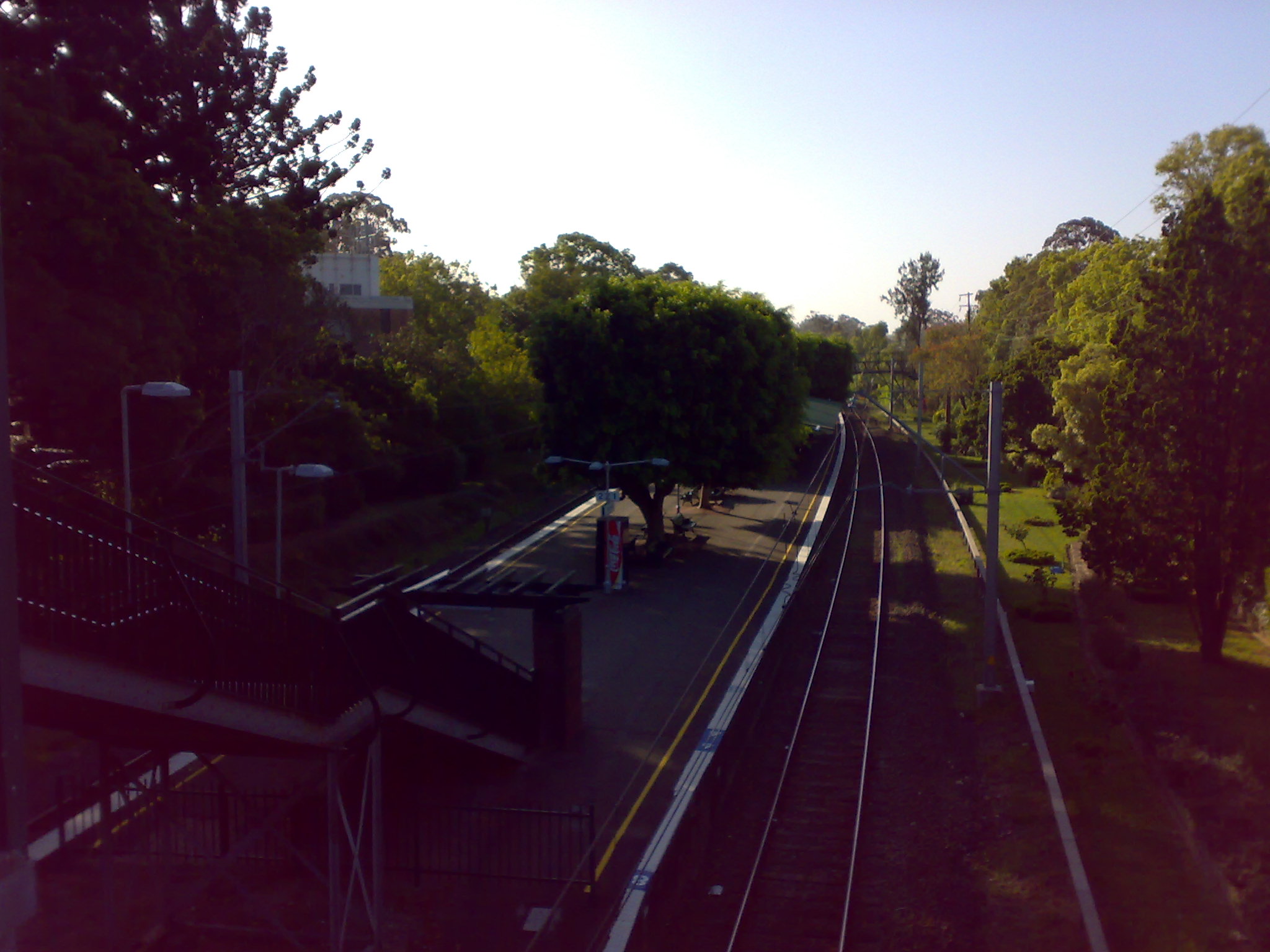
facilities= [http://www.cityrail.info/facilities/facilities.jsp?n=285&giveOutput=true&facility= Link]

Wahroonga railway station is located on the CityRail North Shore line, Sydney. It serves a residential and local shopping area of the Sydney suburb of Wahroonga.

It is served by four trains per hour most of the time, with additional trains at peak hours.The station open several decades after the line opened, with a single platform designed for conversion to an island platform once duplication arrived.

As the station is connected to the adjacent streets on either side via stairs, Easy Access is not available for wheelchairs.

Platforms/Service

Platform 1:
*North Shore line colour>North Shore Line - all stations and limited stops services to Central; then to Blacktown, Penrith, Emu Plains, Riverstone, or Richmond via the Western line colour>Western Line, or to Eastwood or Hornsby via the Northern line colour>Northern Line

Platform 2
*North Shore line colour>North Shore Line - all stations services to Hornsby & Berowra.

Transport Links

Wahroonga station is the terminus of one Shorelink route:
*Route 576 - North Wahroonga
NightRide route N90 serves Wahroonga station.

Trackplan


Neighbouring stations


Wikimedia Foundation. 2010.

Игры ⚽ Нужна курсовая?

Look at other dictionaries:

  • Gordon railway station, Sydney — For the closed station in Victoria, Australia, see Gordon railway station, Victoria. Gordon …   Wikipedia

  • Turramurra railway station, Sydney — Cityrail Station alt|station name=Turramurra| servicearea=North Shore Line|servicearea color=#North Shore line colour|servicearea textcolor=black code=TMU|suburb=Turramurra|street=Rohini St|distance=20.82|altitude=192|traintype=Suburban all… …   Wikipedia

  • North Sydney railway station — North Sydney …   Wikipedia

  • Milsons Point railway station — Milsons Point …   Wikipedia

  • Chatswood railway station — Chatswood …   Wikipedia

  • Mount Kuring-gai railway station — Mount Kuring gai …   Wikipedia

  • Mount Colah railway station — Mount Colah …   Wikipedia

  • Wahroonga, New South Wales — Infobox Australian Place | type = suburb name = Wahroonga city = Sydney state = nsw caption = Knox Grammar Preparatory School, Billyard Avenue lga = Ku ring gai Council postcode = 2076 est = 1822 pop = 11,388 area = 8.2 propval =… …   Wikipedia

  • North Shore railway line, Sydney — Public transport infrastructure in Sydney logo= name=North Shore Line transport mode=Commuter rail line line owner=CityRail operation area=Hornsby Ku ring gai North Sydney Sydney Willoughby map colour=Yellow stations number=35 interchange… …   Wikipedia

  • Bus routes in Sydney — Bus routes in Sydney, Australia are numbered with three digits, the first digit referring to the region in which the bus route primarily operates.Northern BeachesBus services between the Northern Beaches region of Sydney and the central business… …   Wikipedia

Share the article and excerpts

Direct link
Do a right-click on the link above
and select “Copy Link”