- New York State Route 194
-
NYS Route 194
Route information Maintained by NYSDOT Length: 9.49 mi[3] (15.27 km) Existed: 1930[1] – May 12, 1980[2] Major junctions South end:  NY 177 in Pinckney
North end:  NY 12 in Copenhagen
Location Counties: Lewis Highway system Numbered highways in New York
Interstate • U.S. • N.Y. (former) • Reference • County←  NY 193
NY 195  →
→New York State Route 194 (NY 194) was a state highway that was located in Lewis County, New York. It began at an intersection with NY 177 in Barnes Corners, a hamlet within the town of Pinckney, and progressed northeast to its northern terminus at a junction with NY 12 in Copenhagen.
When NY 194 was assigned as part of the 1930 renumbering of state highways in New York, it extended northeast through Copenhagen to NY 26 in Denmark. It was truncated to NY 12 in the late 1930s. On April 1, 1980, ownership and maintenance of NY 194 was transferred from the state of New York to Lewis County as part of a highway maintenance swap between the two levels of government. NY 194 was the only highway transferred to the county as part of the swap. The NY 194 designation was removed just over one month later. Most of its former routing is now County Route 194.
Contents
Route description
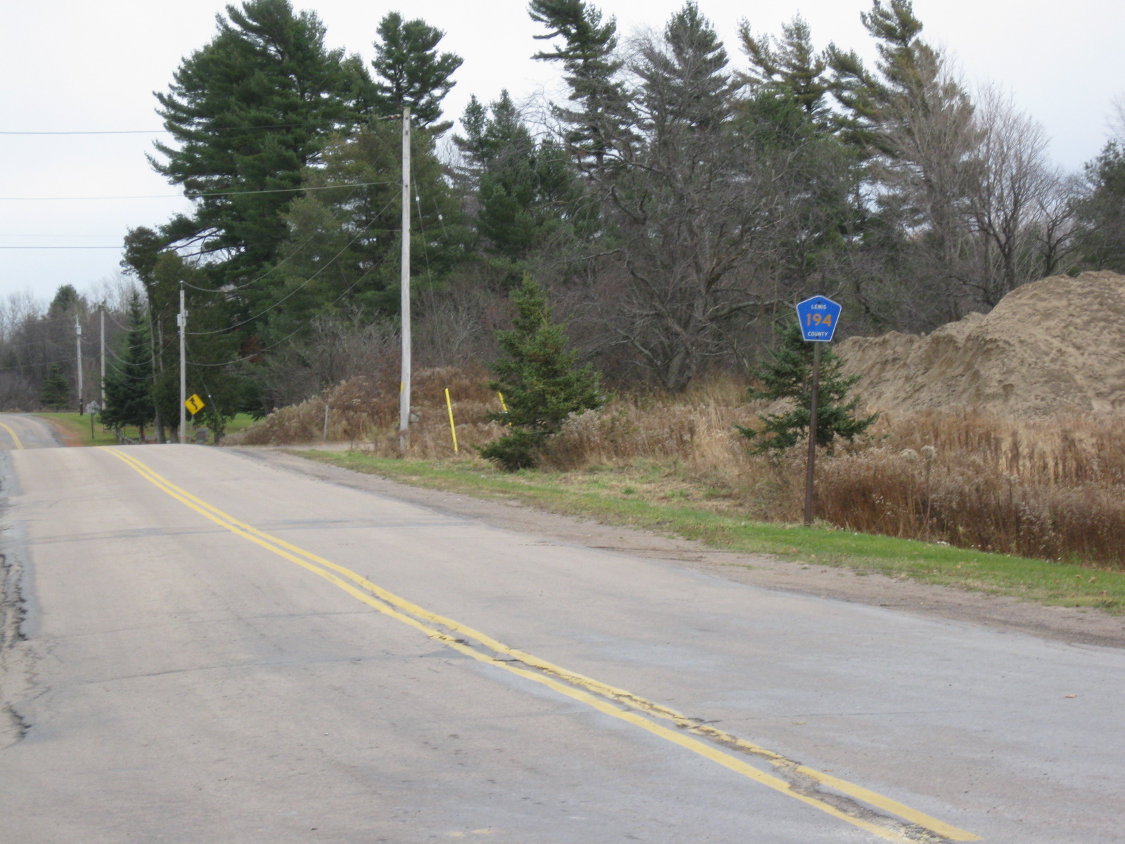
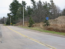 First reassurance marker on northbound CR 194 (former NY 194)
Route 194 began at an intersection with NY 177 in the hamlet of Barnes Corners within the town of Pinckney in Lewis County. The route first went northward, intersecting with County Route 21, where it turned to the northeast. Route 194 continued to the northeast, entering the Pinckney State Reforestation Area. McDown Road, a dirt road, intersected with Route 194 just before the main highway entered the hamlet of Forks Number Two. Route 194 left Forks Number Two and went on towards Copenhagen.[4] Now in the town of Pinckney, Route 194 made several turns in direction until entering the hamlet of Pinckney Corners. At this point Route 194 was edging ever closer to Copenhagen, the largest municipality along the highway.[5]
Route 194 left the town of Pinckney and entered the area of Copenhagen about 0.8-mile (1.3 km) north of Pinckney Corners. The route downgraded in elevation and entered Copenhagen.[5] In the heart of the village, Route 194 passed a few businesses and the central school[6] before terminating at an intersection with NY 12.[7]
History
NY 194 was assigned as part of the 1930 renumbering of state highways in New York to an alignment extending from NY 177 in Barnes Corners in the southwest to NY 26 in the northeast via Copenhagen.[1] It was truncated to NY 12 ca. 1939.[8][9] On April 1, 1980, ownership and maintenance of NY 194 was transferred from the state of New York to Lewis County as part of a highway maintenance swap between the two levels of government. It was the only highway transferred to the county as part of the swap.[10] The NY 194 designation was removed on May 12 of that year.[2] Its former routing from Whitesville Road to NY 12 is now County Route 194 while the small portion that was on Whitesville Road is now part of CR 21.[6][11]
Major intersections
The entire route was in Lewis County.
Location Mile[3] Destinations Notes Pinckney 0.00 NY 177Hamlet of Barnes Corners Copenhagen 9.49 NY 121.000 mi = 1.609 km; 1.000 km = 0.621 mi References
- ^ a b Dickinson, Leon A. (January 12, 1930). "New Signs for State Highways". The New York Times: p. 136.
- ^ a b New York State Department of Transportation (January 2009) (PDF). Official Description of Highway Touring Routes, Bicycling Touring Routes, Scenic Byways, & Commemorative/Memorial Designations in New York State. https://www.nysdot.gov/divisions/operating/oom/transportation-systems/repository/2009%20tour-bk.pdf. Retrieved April 4, 2009.
- ^ a b New York State Department of Transportation (March 2, 2009). "Region 7 Inventory Listing". https://www.nysdot.gov/divisions/engineering/technical-services/highway-data-services/inventory-listing. Retrieved April 4, 2009.
- ^ United States Geological Survey (1980). Barnes Corners Quadrangle – New York (Map). 1:24,000. 7.5 Minute Series (Topographic). http://www.nysgis.state.ny.us/gisdata/quads/drg24/usgspreview/index.cfm?code=o43075g7. Retrieved June 6, 2010.
- ^ a b United States Geological Survey (1980). New Boston Quadrangle – New York – Lewis Co. (Map). 1:24,000. 7.5 Minute Series (Topographic). http://www.nysgis.state.ny.us/gisdata/quads/drg24/usgspreview/index.cfm?code=o43075g6. Retrieved June 6, 2010.
- ^ a b New York State Department of Transportation (1992). Copenhagen Digital Raster Quadrangle (Map). 1:24,000. http://www.nysgis.state.ny.us/gisdata/quads/drg24/dotpreview/index.cfm?code=i33. Retrieved June 6, 2010.
- ^ United States Geological Survey (1942). Copenhagen Quadrangle – New York (Map). 1:24,000. 7.5 Minute Series (Topographic). http://www.nysgis.state.ny.us/gisdata/quads/drg24/usgspreview/index.cfm?code=o43075h6. Retrieved June 6, 2010.
- ^ Thibodeau, William A. (1938). The ALA Green Book (1938–39 ed.). Automobile Legal Association.
- ^ Standard Oil Company (1939). New York (Map). Cartography by General Drafting.
- ^ New York State Legislature. "New York State Highway Law § 341". http://public.leginfo.state.ny.us/LAWSSEAF.cgi?QUERYTYPE=LAWS+&QUERYDATA=$$HAY341$$@TXHAY0341+&LIST=LAW+&TARGET=VIEW. Retrieved June 6, 2010.
- ^ New York State Department of Transportation (1997). Barnes Corners Digital Raster Quadrangle (Map). 1:24,000. http://www.nysgis.state.ny.us/gisdata/quads/drg24/dotpreview/index.cfm?code=j32. Retrieved June 6, 2010.
External links
Categories:- Former state highways in New York
- Transportation in Lewis County, New York

Wikimedia Foundation. 2010.