- Crocker Range National Park
-
Crocker Range National Park IUCN Category II (National Park)Location in Borneo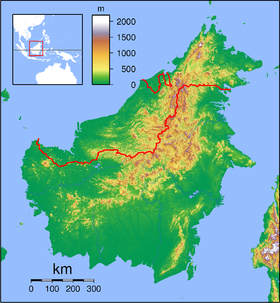
 Crocker Range
Location Sabah, Malaysia Nearest city Kota Kinabalu, Keningau Coordinates 5°35′N 116°5′E / 5.583°N 116.083°ECoordinates: 5°35′N 116°5′E / 5.583°N 116.083°E Area 1,399 km² Established 1984 Governing body Sabah Parks Crocker Range National Park was established in 1984, although the area had previously been under protection as a forest reserve. It covers the north-south Crocker Range, of 1200-1800 meter mountains in Sabah, east Malaysia on the island of Borneo, which separate the western coastal plain with the rest of the state. The boundaries of the park have been surveyed, but no facilities exist at present for visitors.
The park covers 1,399 km², making it the largest park in Sabah. The park consists of both hill and montane forest, with many species of flora and fauna endemic to Borneo. Maintenance of this forest cover is essential to ensuring a pure water supply for many of the towns and communities in Sabah.
The park contains at least five species of primates, such as the orang-utan, gibbons and the furry tarsier with its enormous round eyes, and extremely sociable long-tailed macaques. The Padas River bisects the range between Beaufort and Tenom.
Crocker Range Park is administered by Sabah Parks.
External links
 Media related to Crocker Range National Park at Wikimedia Commons
Protected areas of Sabah World Heritage Site National parks Crocker Range National Park • Pulau Tiga National Park • Tawau Hills National Park • Tun Sakaran Marine Park • Tunku Abdul Rahman National Park • Turtle Islands National ParkProtection forest reserves Danum Valley Conservation Area • Maliau Basin Conservation Area • Silabukan Protection Forest Reserve • Ulu Kalumpang Forest Reserve • Bidu Bidu Forest ReserveOther nature reserves and sanctuaries 
This protected areas-related article is a stub. You can help Wikipedia by expanding it.
