- Aruvikkara
-
Aruvikkara — village — Aruvikara Dam
Coordinates 8°34′04″N 77°01′08″E / 8.5677800°N 77.018890°ECoordinates: 8°34′04″N 77°01′08″E / 8.5677800°N 77.018890°E Country India State Kerala District(s) Thiruvananthapuram Subdistrict(s) Nedumangad Population 32,616 (2001[update]) Time zone IST (UTC+05:30) Codes-
• Pincode • 695564 • Vehicle • KL-01
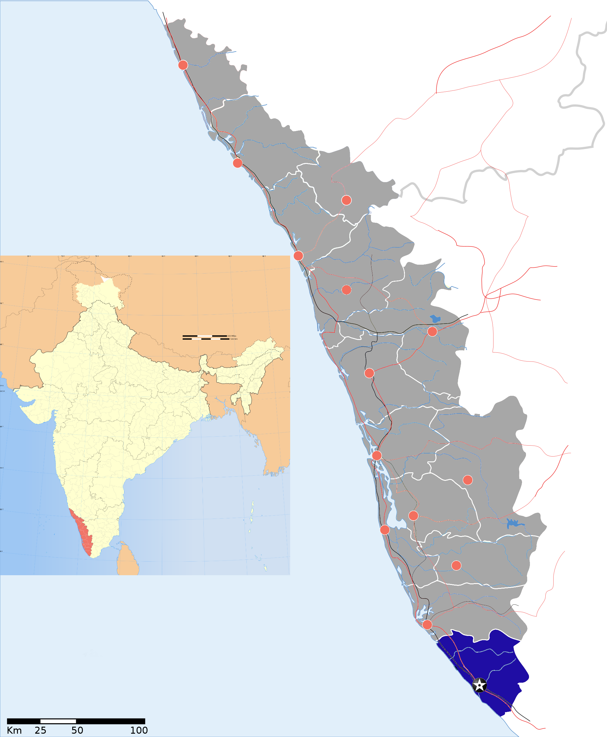
Aruvikkara is a village in Thiruvananthapuram district in the state of Kerala, India.[1]It is located on the banks of the Karamana River 15 km from Thiruvananthapuram, the capital of the state of Kerala in South India. The reservoir and garden makes it a tourist spot. It is famous for the ancient Bhagavathi temple dedicated to Durga, the divine embodiment of Female power, which is built on a rock. The stream in front of the temple contains large fishes, which are fed by the devotees visiting the shrine. The Head Quarters of the Wellington Water Distribution project is located here. The small Aruvikara dam (mini dam) which provides water to the state capital Thiruvananthapuram is also located in Aruvikara.
Demographics
As of 2001[update] India census, Aruvikkara had a population of 32616 with 15939 males and 16677 females.[1]
Thiruvananthapuram district District HQ: ThiruvananthapuramHistory 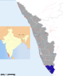
Geography Karamana River · Vamanapuram River · Neyyar River · Varkala Beach · Agastya Mala · Ponmudi · Meenmutty FallsCities and Taluks TaluksCorporationsMunicipalitiesTransport Thiruvananthapuram International Airport · Trivandrum Central · Varkala Sivagiri station · NH 47 · Main Central RoadEducation Buildings Culture Lok Sabha constituencies Thiruvananthapuram · Attingalxxxx
References
-

Aruvikara Dam (closer view)
-

Bridge at Aruvikara
Categories:- Tourism in Kerala
- Visitor attractions in Thiruvananthapuram
- Villages in Thiruvananthapuram district
- Thiruvananthapuram district geography stubs
-


Wikimedia Foundation. 2010.