- Cotehill railway station
-
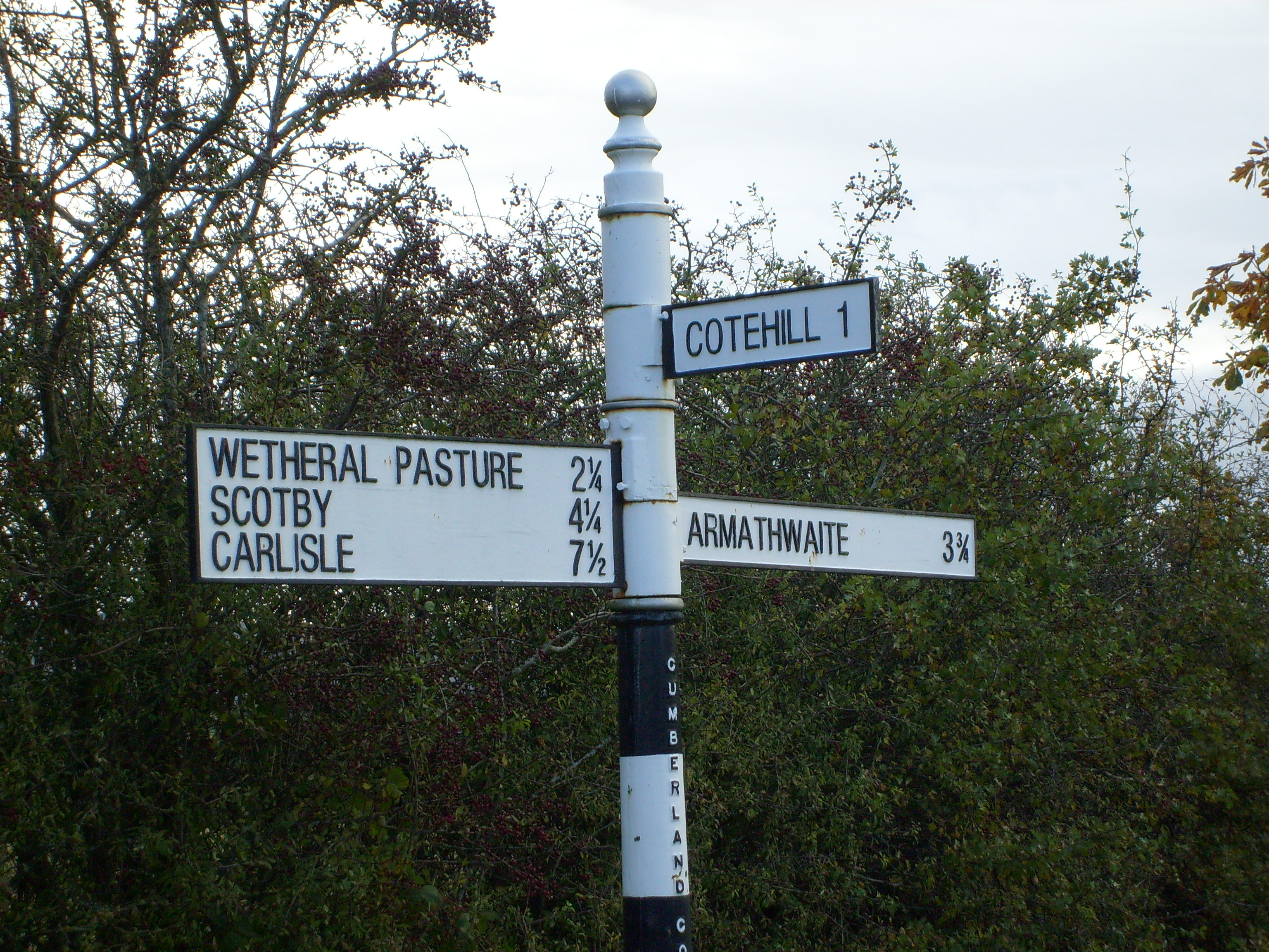
 All these villages, near Carlisle, had railway stations. (Wetheral Pasture is adjacent to Cumwhinton).
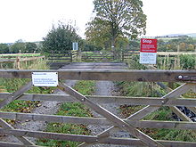 Crossing at Cotehill Station.
 Station master's house at Cotehill Station.
Cotehill railway station was a railway station on the Settle-Carlisle Railway in England between Armathwaite and Cumwhinton. The line opened for passengers in 1876[1]. The Ordnance Survey map published in the year 1900 shows the station serving the point at which a tramway from Knothill Plaster and Cement Works meets the Settle-Carlisle. The tramway continued from Knothill to Boaterby Quarry. According to Tyler, Knothill was one of the first Gypsum sites in Cumbria[2]
The station is named after the nearest village but this is 1.5 miles (2.4 km) away and extremely small. It is closer to Englethwaite Hall (now the location of a Caravan Club campsite) but it is clear from the map that the sparse local population could not have sustained a railway station. In addition, the station is only 3.5 miles (5.6 km) from Armathwaite and very close to Cumwhinton, both of which had stations of their own.
The tramway is absent from later maps, though its route is clearly visible as a track on the 1951 map. The station closed in 1952. Unusually for this line, the passenger buildings were demolished. The site remains clear so could in principle be re-used. One end of it is occupied by a communication mast. The stationmaster's house and railway workers' cottages are immediately adjacent to the Cotehill Viaduct, where the railway crosses High Stand Gill near where it flows into the Eden. The houses are privately occupied.
References
- ^ "Settle Carlisle Events". Archived from the original on 2008-05-11. http://web.archive.org/web/20080511233736/http://www.settlecarlislerailway.co.uk/a200_settle_carlisle_events.html. Retrieved 2011-08-10.
- ^ Gypsum in Cumbria
Preceding station Historical railways Following station Armathwaite Midland Railway
Settle-Carlisle RailwayCumwhinton Coordinates: 54°50′53″N 2°47′49″W / 54.848°N 2.797°W
Categories:- Disused railway stations in Cumbria
- Railway stations closed in 1952
- Gypsum mines in England
- North West England railway station stubs


Wikimedia Foundation. 2010.