- County Farm Bridge (Dover, New Hampshire)
-
County Farm Bridge
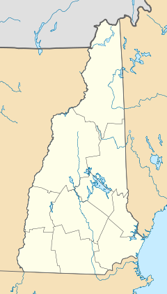

Nearest city: Dover, New Hampshire Coordinates: 43°13′14″N 70°56′38″W / 43.22056°N 70.94389°WCoordinates: 43°13′14″N 70°56′38″W / 43.22056°N 70.94389°W Area: 0.1 acres (0.040 ha) Built: 1875 Architectural style: Howe Truss Governing body: Local NRHP Reference#: 75000237[1] Added to NRHP: May 21, 1975 County Farm Bridge is a historic bridge over the Cocheco River in Dover, New Hampshire.
The bridge was built in 1875 and added to the National Register of Historic Places in 1975. The bridge burned down prior to 1990, but its abutments can still be viewed from a nature trail behind the county jail.
References
- ^ "National Register Information System". National Register of Historic Places. National Park Service. 2009-03-13. http://nrhp.focus.nps.gov/natreg/docs/All_Data.html.
U.S. National Register of Historic Places Topics Lists by states Alabama • Alaska • Arizona • Arkansas • California • Colorado • Connecticut • Delaware • Florida • Georgia • Hawaii • Idaho • Illinois • Indiana • Iowa • Kansas • Kentucky • Louisiana • Maine • Maryland • Massachusetts • Michigan • Minnesota • Mississippi • Missouri • Montana • Nebraska • Nevada • New Hampshire • New Jersey • New Mexico • New York • North Carolina • North Dakota • Ohio • Oklahoma • Oregon • Pennsylvania • Rhode Island • South Carolina • South Dakota • Tennessee • Texas • Utah • Vermont • Virginia • Washington • West Virginia • Wisconsin • WyomingLists by territories Lists by associated states Other Categories:- Bridges on the National Register of Historic Places in New Hampshire
- Bridges completed in 1875
- Bridges in Strafford County, New Hampshire
- Road bridges in New Hampshire
- New Hampshire Registered Historic Place stubs

Wikimedia Foundation. 2010.