- Nanortalik
-
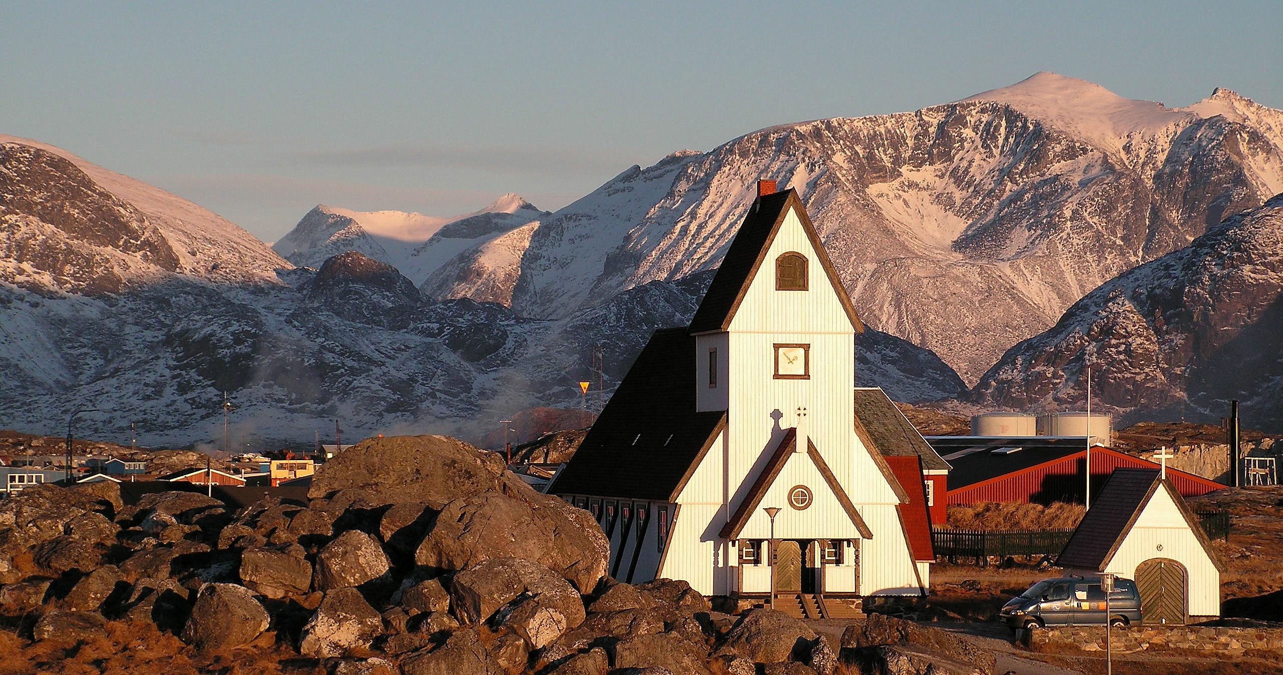
Nanortalik Wintertime view to Nanortalik from nearby Ravnefjeldet Location within Greenland
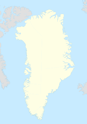
 Nanortalik
Coordinates: 60°08′31″N 45°14′36″W / 60.14194°N 45.24333°WCoordinates: 60°08′31″N 45°14′36″W / 60.14194°N 45.24333°W State  Kingdom of Denmark
Constituent country  Greenland
Municipality Kujalleq Population (2010) - Total 1,448 Time zone UTC-03 Postal code 3922 Website nanortalik.gl Nanortalik
 pronunciation (help·info) is a town in the Kujalleq municipality in southern Greenland. With 1,448 inhabitants in 2010,[1] it is the tenth-largest town in the country. The name Nanortalik means "place of polar bears" or "place where the polar bears go" (from Kalaallisut: nanoq).
Contents
History
Because of its location, this area was one of the first parts of Greenland settled, both by Inuit and by the Norse. Nanortalik was founded in 1770. In 1797, a permanent trading depot was set up in Nanortalik by traders from Julianehåb. Due to poor harbour facilities, in 1830 the town was moved three kilometers northward, where it remains today. Of the old town only the scattered ruins of Sissarissoq remain.
Geography
Nanortalik is located on a small island (also called Nanortalik) on the shores of Labrador Sea, roughly 100 km north of Uummannarsuaq, the southern tip of Greenland.
The surrounding district extends from the island of Qeqertarsuaq near Alluitsup Paa down to Cape Farewell and the 60 km long Lindenow Fjord on the east coast. The district covers a total of 15,000 sq. kilometers (5,800 sq. miles).[2]
Nearby settlements are Narsarmijit (Frederiksdal), Alluitsup Paa (Sydprøven), Tasiusaq, Aappilattoq, Ammassivik as well as the following settlements with no more than 20 inhabitants each: Saputit, Nalasut, Nuugaarsuk, Akuliaruseq, Qallimiut, Qorlortorsuaq, Alluitsoq, and the weather station Ikerasassuaq.
Nanortalik Island
Nanortalik Island is located near the mouth of the 70 km long Tasermiut Fjord. The island measures about 10 km across and features two minor mountains: Quaqqarsuasik ('Storfjeldet' in Danish) and Quassik ('Ravnefjeldet' in Danish or Raven Mountain in English). Quaqqarsuasik is 559 m and Quassik 308 m.[3]
Mountaineering
Nanortalik is most well known for its towering mountain peaks and vertical walls in Tasermiut Fjord. Names like Ketil Mountain (1500 m) and Ulamertorsuaq are familiar to mountain climbers from around the world. The mountains in the region can easily be compared with the toughest routes in the Alps, and challenging ascents should only be attempted by experienced climbers.
Economy
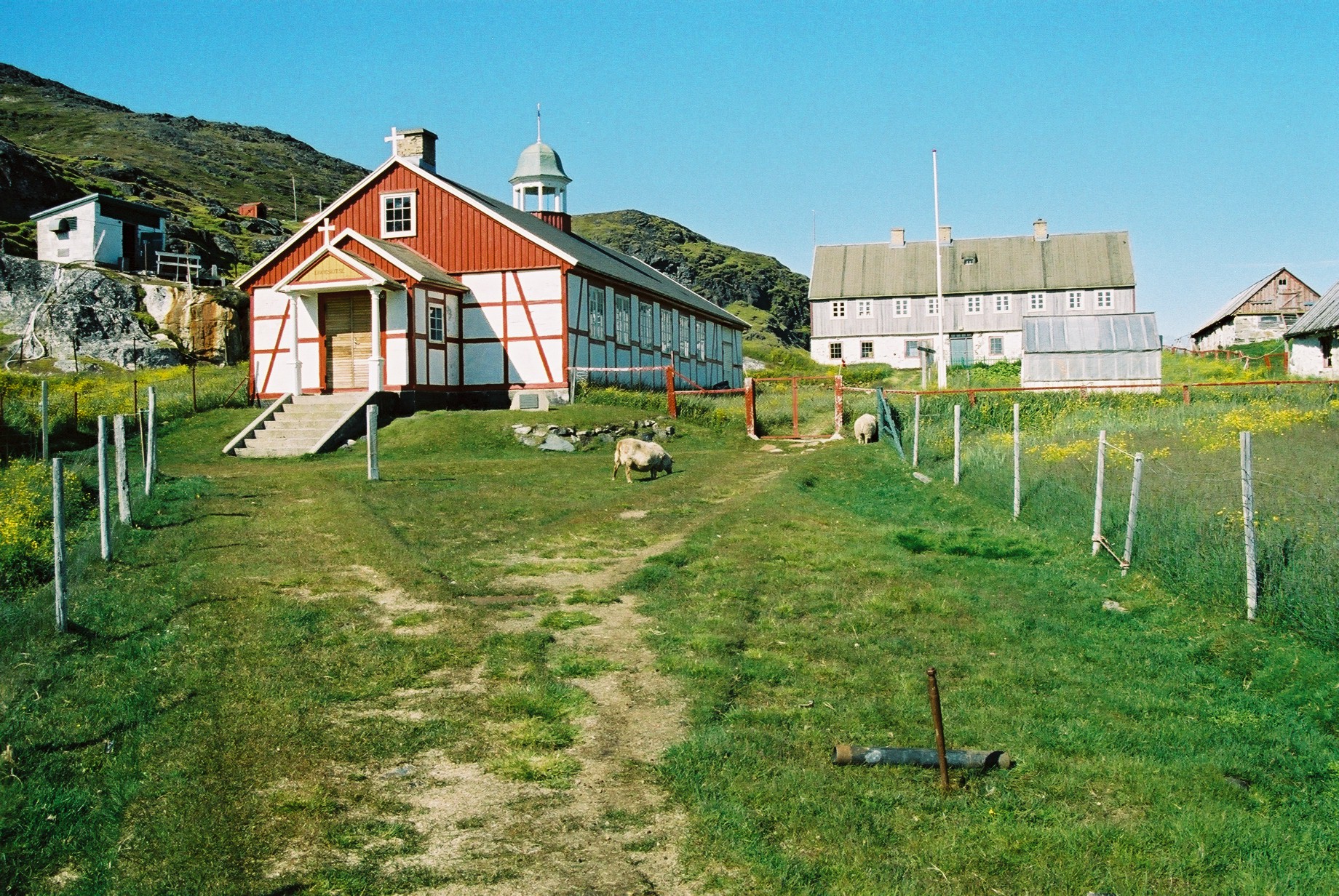
 Alluitsoq
Crab fishing, hunting for hooded seals, and fishing from small boats are the main sources of income for the area's inhabitants. Over the past few years, a goldmine in Kirkespir Valley (Kirkespirdalen), 30 km north Nanortalik has proven highly successful, and this is likely to change the structure of the town's economy.[4]
During the spring, many Greenlanders hunt hooded seals among the outer islands, where the pack ice drifts up from the east coast on its way north. The age-old culture of the Inuit lives on in this annual hunting tradition.
Nanortalik has little productive trade. There are no factories and no large-scale fishing activities as sea ice prevents fishing for several months a year. Small-scale fishing, crab fishing, seal and seabird hunting and tourism provide most of the locally produced revenue.[5] Recently, a gold mine opened in Kirkespirsdalen some 30 km north of Nanortalik town. Decades ago, a now abandoned graphite mine operated some 20 km from the town. The mine was abandoned in 1925.
Flora and fauna
Main article: Flora and fauna of Greenland A typical December scene from Nanortalik, viewed from the top of Ravnefjeldet. In December, icebergs (see foreground) are scarce, but will in springtime dominate the fjords.
While Greenland is almost completely without trees, the Qinngua valley some 40 km from Nanortalik town has the only forest in Greenland (at 60°16′25″N 44°43′25″W / 60.27361°N 44.72361°W). Here, Willow (Salix glauca) and Birch (Betula pubescens) trees grow up to a height of several meters. Most other places, trees grow up to a maximum of about half a meter height. The valley also has some 300 species of other plants, in addition to many lichens.
The wildlife of the Nanortalik island is rather sparse due to native hunters. As a result, ravens, seagulls and snow buntings are some of the very few abundant larger bird species, and no mammal larger than a mouse is likely to be seen on the island. However, the surrounding areas count numerous species.
In addition to seals, the pack ice also brings polar bears from the east coast – hence the name Nanortalik. Every year a number of bears are sighted in the area, but they rarely present a threat to people. During the spring and late summer, there are many whales in the waters around the town, with minke whales being the most common visitors.
Birdlife includes raven, ptarmigan, Glaucous Gull, Iceland Gull, snow bunting, guillemot, eider, king eider, gyrfalcon, white-tailed eagle, redpoll, red-necked phalarope, various sandpipers, red-breasted merganser, red-throated diver, great northern diver, cormorant, long-tailed duck, puffin, northern wheatear, little auk, various duck species, and more rarely, snowy owls.
Despite the allusion to polar bears in its name, they are rare sights in Nanortalik, but occasionally come drifting in on sea ice from East Greenland in the months of January to June.
Marine mammals
Seals are common in surrounding fjords. The most common seal is ringed seal, followed by Hooded Seal and harp seal.
From August until October minke whales are common near the opening of the Tasermiut Fjord. Occasionally, humpback whales and orcas are spotted.
Population
With 1,448 inhabitants as of 2010, Nanortalik is the third-largest town in the Kujalleq municipality.[6] The population has been decreasing over the last several years. Most towns and settlements in southern Greenland exhibit negative growth patterns over the last two decades, with many settlements rapidly depopulating.[6]
 Nanortalik population growth dynamics in the last two decades. Source: Statistics Greenland[6]
Transport
Nanortalik Heliport operates year-round as a helicopter hub of Air Greenland, linking Nanortalik with all settlements in the region, and with Narsarsuaq Airport, and hence indirectly with the rest of Greenland, and with Europe.[7]
Points of interest
- Angissq LORAN-C transmitter
- Cape Farewell, Greenland, the southermost point of Greenland
Twin towns
References
- ^ Statistics Greenland, Greenland in Figures, 2010
- ^ greenland.com The Official Tourism and Business Site of Greenland
- ^ "Greenland and the Arctic". By Etain O'Carroll and Mark Elliott. Lonely Planet 2005. ISBN 1-74059-095-3.
- ^ Gold deposit in South Greenland
- ^ Nanortalik Tourism office
- ^ a b c Statistics Greenland
- ^ Air Greenland, Departures and Arrivals
Categories:- Populated places in Greenland


Wikimedia Foundation. 2010.