- Doğanyurt
-
Doğanyurt — District — Location of Doğanyurt within Turkey. Location of Doğanyurt
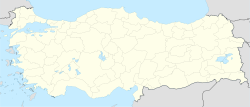
 Doğanyurt
Coordinates: 42°00′N 33°27′E / 42°N 33.45°E Country  Turkey
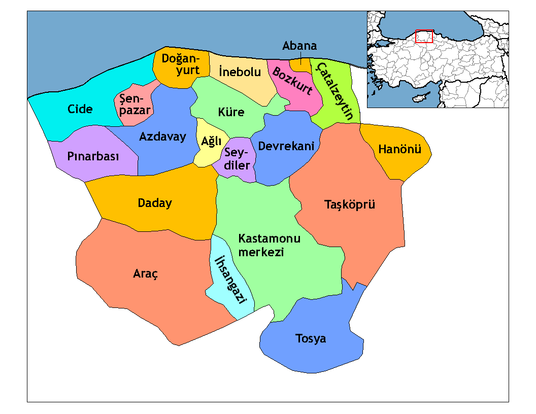
Region Black Sea Province Kastamonu Government – Mayor Ahmet Kaya (AKP) Area – District 254 km2 (98.1 sq mi) Elevation 235 m (771 ft) Population (2000)[1] – District 9,668 – Density 38.06/km2 (98.6/sq mi) – Urban 1,470 Time zone EET (UTC+2) – Summer (DST) EEST (UTC+3) Postal code 37xxx Area code(s) 366 Licence plate 37 Website www.doganyurt.bel.tr Doğanyurt, formerly Hoşalay, is a town and district of the Kastamonu Province in the Black Sea region of Turkey. According to the 2000 census, population of the district is 9,668 of which 1,470 live in the town of Doğanyurt.[1][2] The district covers an area of 254 km2 (98 sq mi),[3] and the town lies at an elevation of 235 m (771 ft).
Kerembe Burnu, the ancient Cape Karambis, is located to the northwest of Doğanyurt. The promontory, 225 km distant from the Sarych headland, is the nearest point on the Anatolian coast to the Crimean Peninsula and has for centuries served as a nautical landmark for those seeking to cross the Black Sea at its narrowest point.[4]
Notes
- ^ a b Turkish Statistical Institute. "Census 2000, Key statistics for urban areas of Turkey" (in Turkish) (XLS). http://www.die.gov.tr/nufus_sayimi/2000tablo5.xls. Retrieved 2008-11-01.
- ^ GeoHive. "Statistical information on Turkey's administrative units". http://www.xist.org/cntry/turkey.aspx?levels=Karadeniz. Retrieved 2008-11-27.
- ^ Statoids. "Statistical information on districts of Turkey". http://www.statoids.com/ytr.html. Retrieved 2008-11-27.
- ^ Anthony Bryer and Richard Winfield, The Byzantine Monuments and Topography of the Pontos, vol. 1, (Washington D.C.: Dumbarton Oaks, 1985), p. 67.
References
- Falling Rain Genomics, Inc. "Geographical information on Doğanyurt, Turkey". http://www.fallingrain.com/world/TU/37/Doganyurt.html. Retrieved 2008-11-01.
External links
- District governor's official website (Turkish)
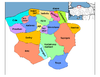
 Doğanyurt in Kastamonu Province (in the Black Sea region) of Turkey
Urban districts 
Rural districts RegionsAegean Black Sea Central Anatolia Eastern Anatolia Marmara Mediterranean Southeastern Anatolia Coordinates: 42°00′00″N 33°27′00″E / 42°N 33.45°E
Categories:- Districts of Kastamonu
- Black Sea Region
- Populated places in Kastamonu Province
- Fishing communities in Turkey
- Black Sea Region geography stubs

Wikimedia Foundation. 2010.