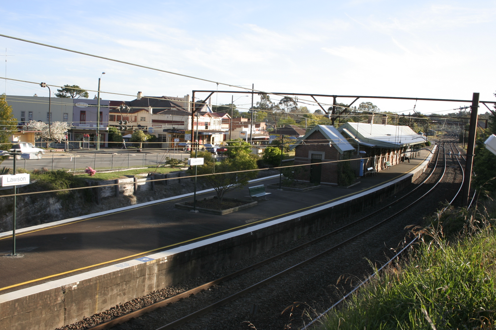
Lawson railway station, New South Wales
- Lawson railway station, New South Wales
Cityrail Station alt|station_name=Lawson|
servicearea=Blue Mountains Line|servicearea_color=#Blue Mountains line colour|servicearea_textcolor=black
code=LWN|town=Lawson|street=Loftus St|distance=96.04|altitude=?|traintype=Intercity|platforms=2|tracks=2|platform_arr=1 island|stationtype=Ground|gates=No|connect=Bus|disabled=No
facilities= [http://www.cityrail.info/facilities/facilities.jsp?n=150&giveOutput=true&facility= Link]
Lawson railway station is a regional railway station on the Blue Mountains Line of the CityRail intercity network, serving the village of Lawson in the Upper Blue Mountains in New South Wales, Australia. The station opened in 1867 [cite web | url=http://www.nswrail.net/lines/show.php?name=NSW:main_west| title=Main West Line | publisher=Nswrail.net] with the opening of the Main Western railway through the area.
The station has an island platform and is served by one train each way per hour in off-peak, with additional services during peak hours.
Platforms/Service
Platform 1:
*Blue Mountains line colour>Blue Mountains Line - intercity services to Penrith and Central.
Platform 2:
*Blue Mountains line colour>Blue Mountains Line - intercity services to Katoomba, Mt Victoria and Lithgow.
Transport Links
Blue Mountains Bus Company runs one route via Lawson railway station:
*Route 690 - Between Springwood and Katoomba.
Neighbouring stations
References
Wikimedia Foundation.
2010.
Look at other dictionaries:
Main Western railway line, New South Wales — [Gauge: 1,435 mm (4 ft 8 1⁄2 in) Legend … Wikipedia
Blue Mountains railway line, New South Wales — Public transport infrastructure in Sydney logo= name=Blue Mountains line transport mode=Regional rail line coach service line owner=CityRail operation area=Bathurst Blue Mountains Lithgow map colour=Yellow/Grey stations number=21 interchange… … Wikipedia
Lawson, New South Wales — Infobox Australian Place | type = suburb name = Lawson city = Sydney state = NSW caption = The Great Western Highway at Lawson lga = City of Blue Mountains postcode = 2783 est = pop = 2,419 (2006) area = propval = stategov = fedgov = Macquarie… … Wikipedia
Gundagai, New South Wales — Infobox Australian Place | type = town name = Gundagai state = nsw caption = The town and the Murrumbidgee floodplain in July 2005. The Hume Highway can be seen in the middle distance. lga = Gundagai Shire Council postcode = 2722 pop =… … Wikipedia
Wagga Wagga, New South Wales — Infobox Australian Place type=city name=Wagga Wagga state=New South Wales caption=Looking down Baylis Street lga=City of Wagga Wagga county=Wynyard Clarendon stategov=Wagga Wagga fedgov=Riverina elevation=147 maxtemp = 22.0 mintemp = 9.0 rainfall … Wikipedia
Mount Victoria, New South Wales — Mount Victoria New South Wales Mount Victoria Hotel in the 1920s … Wikipedia
Five Dock, New South Wales — Infobox Australian Place | type = suburb name = Five Dock city = Sydney state = nsw caption = Old bank building on Great North Road, FiveDock lga = City of Canada Bay postcode = 2046 est = 1794 pop = 7,328 area = 2.45 propval = $742,000 stategov … Wikipedia
Mudgee, New South Wales — Infobox Australian Place | type = town name = Mudgee state = New South Wales caption = Location of Mudgee in New South Wales (red) pop = 8,603 est = postcode = 2850 elevation= 454 maxtemp = 23.0 mintemp = 8.3 rainfall = 673.9 county = Wellington… … Wikipedia
Milperra, New South Wales — Milperra Sydney, New South Wales Deepwater Park, Georges River, Milperra P … Wikipedia
Bullaburra, New South Wales — Infobox Australian Place | type = suburb name = Bullaburra city = Sydney state = NSW caption = Rhondda Valley lga = City of Blue Mountains postcode = 2784 est = pop = 1,236 (2006) area = propval = stategov = fedgov = Macquarie near nw = Blue… … Wikipedia