- Markovi Kuli
-
Markovi Kuli IUCN Category III (Natural Monument)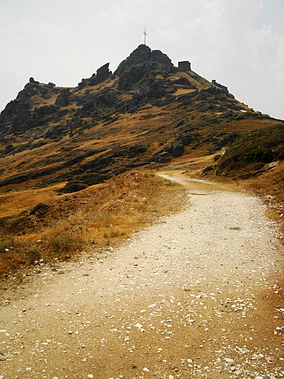
Markovi kuli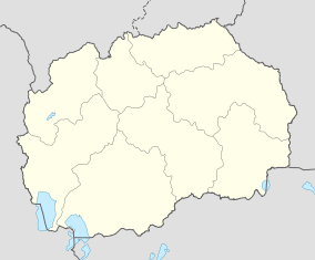

Coordinates 41°21′41.76″N 21°32′18.51″E / 41.3616°N 21.538475°ECoordinates: 41°21′41.76″N 21°32′18.51″E / 41.3616°N 21.538475°E Established 1965 Markovi Kuli or Marko's Towers (Macedonian: Маркови Кули, Serbian: Марков Град) are situated to the northwest of Prilep, Macedonia just above the village of Varoš. The towers of Serbian medieval Prince Marko Mrnjavčević are located on a 120-180 m high hill, surrounded by steep slopes covered with minute granite stones. The upper part of the former settlement can be reached from its north and south side.
During the four-decade archaeological research, remnants indicating the existence of an early antique settlement — Keramija, were found. In the Roman period, this small village expanded into the southwest, a fact suggested by the several marble ornaments of an early Christian basilica.
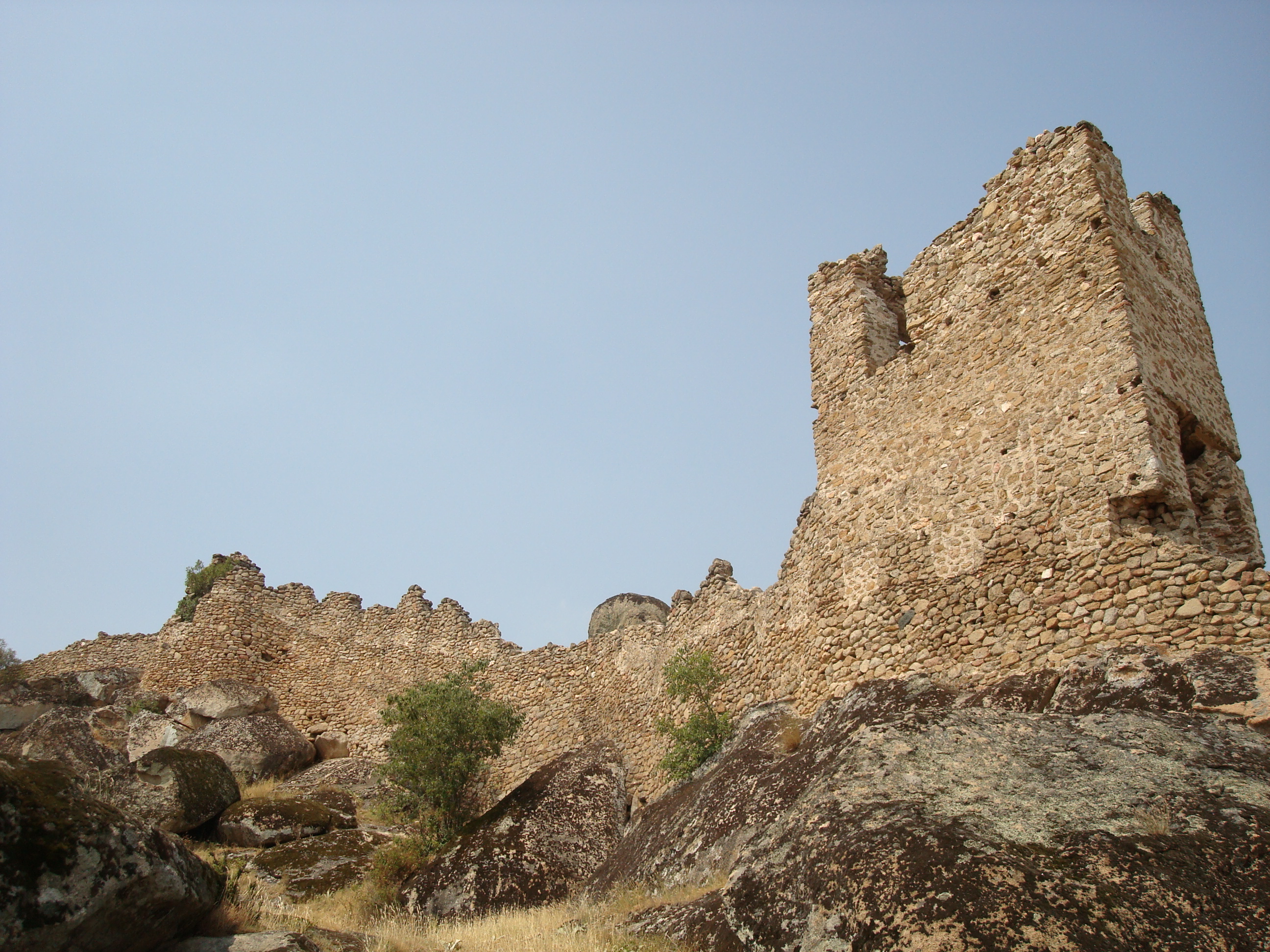
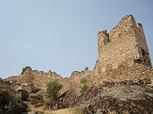 Ruins at Markovi Kuli
The rampart on this terrain dates from the 13th and 14th centuries and is in good condition. The walls are about one meter thick and were built of limestone mortar and rest upon the large limestone rocks.
Internal walls separated the acropolis into smaller areas. The palace of Serbian King Vukašin and his son Marko was also situated here. Its north gate has a compound foundation - an evidence for of numerous reconstructions of the space. According to some historical findings, until the second part of the 14th century and even later, this fortress was defended by only 40 soldiers.
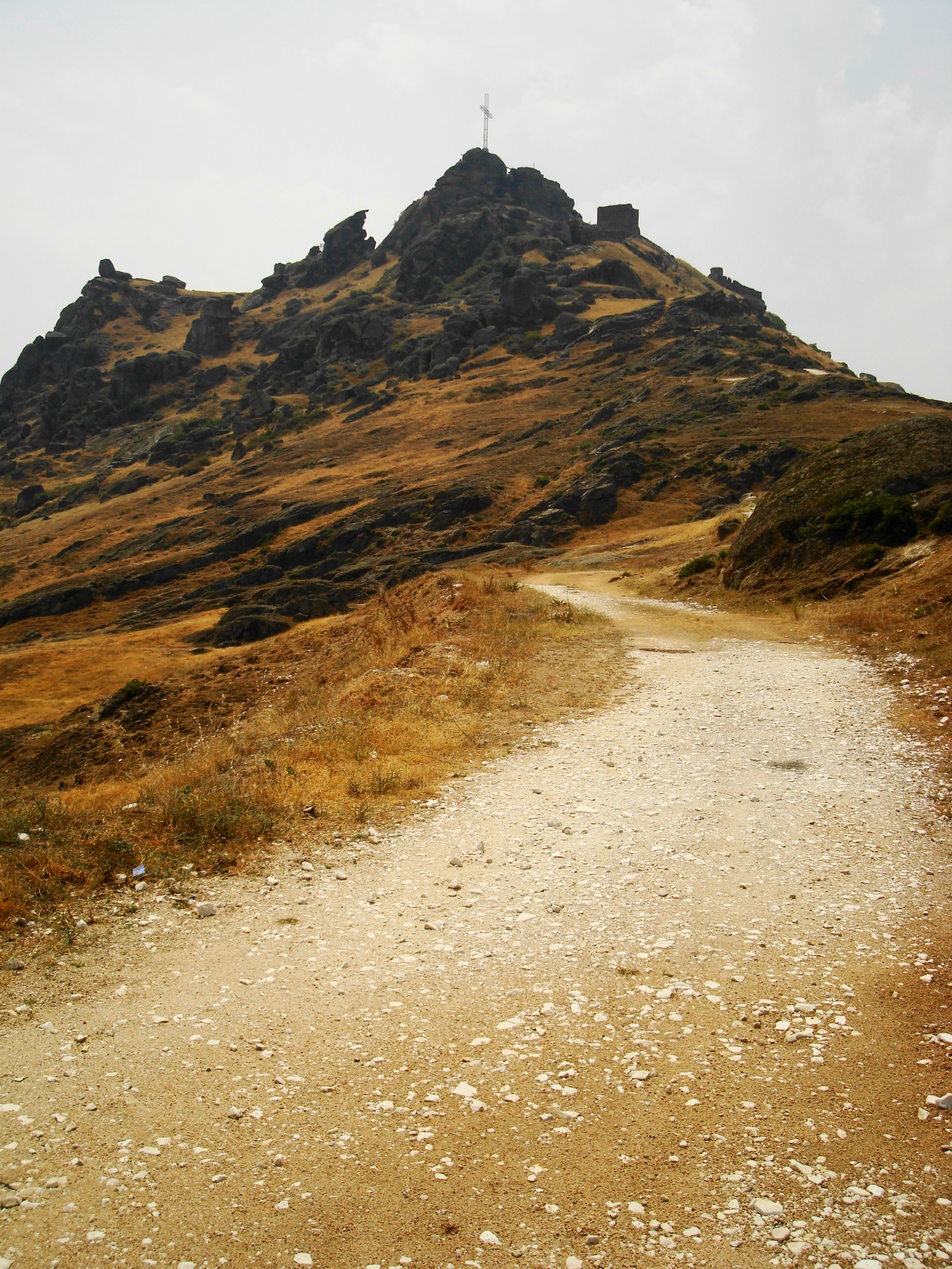
 Markovi kuli (marko's towers) tower and ruined wall
The settlement was situated south of the acropolis on a surface of some 3,6 hectares. On its north side, there is a double gate, as well as a large guardhouse between the entrances. On the south wall there are three well-preserved towers.
The lowest zone of the rampart consists of a row of short walls drawn in a broken line. In the west side, there are graves inserted into the rock. In the 14th century, this part served as a temporary refuge of the local population from the Turk invasion.
After the death of King Marko, in 1395, this settlement was taken by the Ottoman guards, and because of that, life in it completely perished. The inhabitants of the former settlement looked for refuge in the near regions. Consequently, at the foot of Marko's towers, a settlement with a rarefied structure developed. It was separated into several quarters and each had its own church. This new settlement from the 14th century was given the name Varoš which is still in use today.
Categories:- IUCN Category III
- Geography of the Republic of Macedonia
- Castles in the Republic of Macedonia
- Serbian architecture outside Serbia
- Prilep
- Republic of Macedonia geography stubs


Wikimedia Foundation. 2010.