- Myers Park, Auckland
-
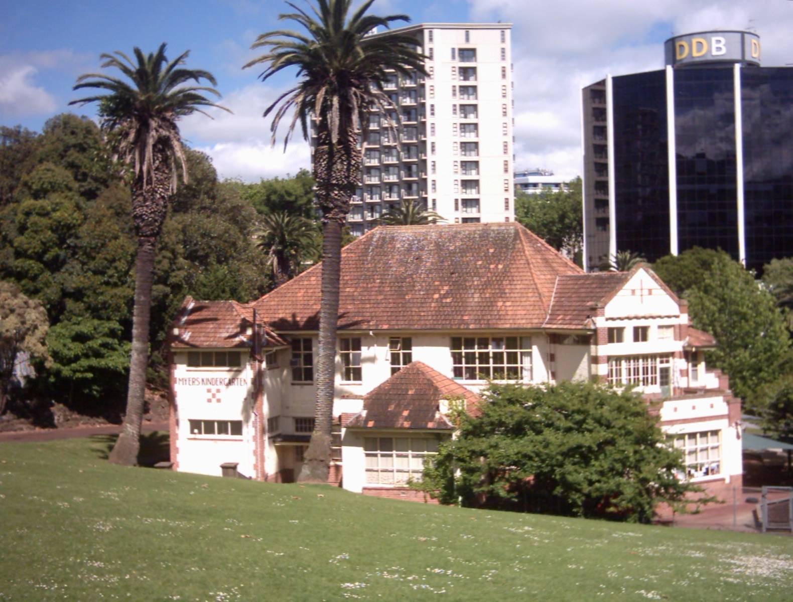
 Myers Free Kindergarten building in Myers Park.
 The palm-lined main path, upper part of the park.
Myers Park is a narrow park in central Auckland, New Zealand, running parallel to the upper part of Queen Street. It is characterised by steep, grassed slopes and canopied with a mixture of large exotic and native trees, including an alley of large palm trees. Benches and artwork (including a heritage marble copy of Michelangelo's sitting Moses statue) line the paths connecting to Queen Street, K Road, Grey's Avenue and Aotea Square.
History
Running downhill from the northern slope of the Karangahape ridge, the park was formed in 1914 out of an overgrown gully facing towards the Waitemata Harbour. The gully was the start of the Waihorotiu Stream, also known as the 'Queen Street River', temporarily used as an open sewer, now underground. Around 1914, the area of the gully was described as consisting of "slum shanties and rubbish tips", until a former Mayor of Auckland Arthur Mielzinier Myers donated £9,000 to the city to buy the area and transform 2.4 ha of the wasteland into Myers Park.[1]
In 1915 Myers also funded the construction of the Myers Free Kindergarten, a fine example of Arts & Crafts architecture (Chilwell & Trevithick Architects). The kindergarten, like a similar gift of other philanthropists in Victoria Park, was intended to benefit the mostly poor families of the area.[2] The building still holds a kindergarten today (KiNZ in the Park) and is, together with parts of the park itself, on the register of the Historic Places Trust.[3]
The park also contains the caretaker's cottage, one of only two Kauri buildings on Queen Street that are more than 100 years old.[4]
References
- ^ Myer's gift to the city (from City Scene, Sunday 29 October, 2006)
- ^ KiNZ Background (from the Kindergarten New Zealand, KiNZ website)
- ^ "Myers Park Historic Area". Register of Historic Places. New Zealand Historic Places Trust. http://www.historic.org.nz/TheRegister/RegisterSearch/RegisterResults.aspx?RID=7008&m=advanced. Retrieved 2009-12-21.
- ^ Watson, John (9 October 2008). "Century-old kauri building in way of Q Theatre". The New Zealand Herald. http://www.nzherald.co.nz/nz/news/article.cfm?c_id=1&objectid=10536536. Retrieved 27 October 2011.
Coordinates: 36°51′19″S 174°45′40″E / 36.8553641°S 174.7612166°E
Categories:- Urban public parks
- Parks in Auckland

Wikimedia Foundation. 2010.