- Chermanangad
-
Cheramanangad
Chiramanangad
— village — Coordinates 10°40′55″N 76°6′51″E / 10.68194°N 76.11417°ECoordinates: 10°40′55″N 76°6′51″E / 10.68194°N 76.11417°E Country India State Kerala District(s) Thrissur Nearest city Kunnamkulam, Trichur Civic agency Kadangode Panchayat, Vadakkanchery Block Population 10,775 (2001[update]) Time zone IST (UTC+05:30)  Elephants lined up for Pooram
Chermanangad (Cheramanagad / Chiramanangad) is a small village on the road between Kunnamkulam & Wadakanchery (Road No. SH50) in the Thrissur district of Kerala[1]. A prehistoric burial site, commonly known as Kodakuthy Kallu (Kudakallu) [literally meaning "stones shaped like umbrellas"], were discovered here.[2][3]. These burial sites had stones placed like umbrellas over them. These stones have been over a period of time been plundered for construction and remaining stones shifted to museums.
These umbrella rocks of Chiramanangad are reported to have a history of over four thousand years, here people were buried in earthen urns and umbrella rocks were placed on top as landmarks.
This largely rural area is gradually being converted to a small urban centre. Agricultural activity is disappearing with agricultural land being converted to housing plots. The village centre has a temple known as Kunnambathu Kavu.
- Major Events
Every year Pooram is held at the village temple grounds on the 10th day of Malayalam month of Medam
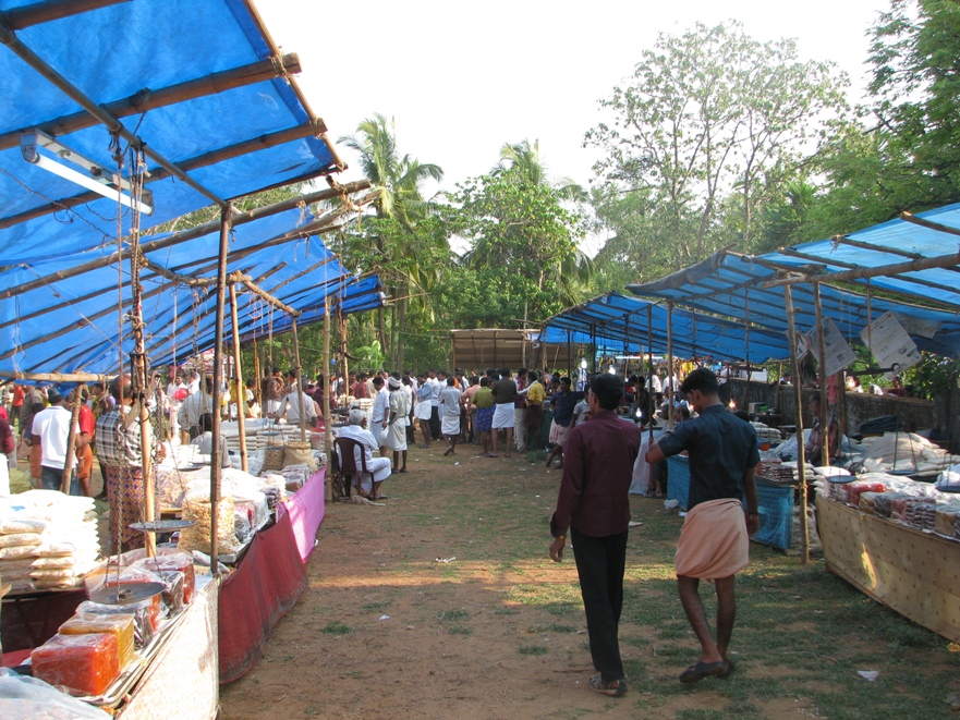
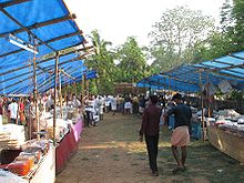 Stalls set up for during Pooram
i.e. approximately mid April as per Gregorian calendar.
Nearest Railway Station: Thrissur, Wadakanchery
Nearest Major Town: Kunnamkulam, Guruvayur
Demographics
As of 2001[update] India census, Chiramanangad had a population of 10775 with 5126 males and 5649 females.[4]
References
- ^ http://thrissur.nic.in/thalappallyvillages.asp
- ^ http://www.hinduonnet.com/thehindu/thscrip/print.pl?file=2003112000600200.htm&date=2003/11/20/&prd=thlf&
- ^ http://asi.nic.in/asi_monu_alphalist_kerala.asp
- ^ "Census of India : Villages with population 5000 & above". http://www.censusindia.gov.in/Census_Data_2001/Village_Directory/Population_data/Population_5000_and_Above.aspx. Retrieved 2008-12-10.
External links
Categories:- Villages in Thrissur district
- Thrissur district geography stubs


Wikimedia Foundation. 2010.