- Mount Sunapee
-
Mount Sunapee 
View from Lake SunapeeElevation 2,726 ft (831 m) Location Location Newbury / Goshen, New Hampshire, USA Coordinates 43°18′49″N 72°4′27″W / 43.31361°N 72.07417°WCoordinates: 43°18′49″N 72°4′27″W / 43.31361°N 72.07417°W Topo map USGS Newport Quadrangle Climbing Easiest route Andrew Brook Trail Mount Sunapee (or Sunapee Mountain on federal maps) is a 5-mile (8.0 km)-long mountain ridge in the towns of Newbury and Goshen in western New Hampshire. Its highest peak, at the north end of the mountain, is 2,726 feet (831 m) above sea level. The mountain has three secondary peaks, White Ledges at 2,716 ft (828 m); North Peak at 2,280 ft (695 m); and South Peak at 2,608 ft (795 m). The north end of the mountain, including the summit, is within Mount Sunapee State Park, which encompasses 3.85 square miles (10.0 km2). The mountain extends south to Pillsbury State Park and is home to the popular Mount Sunapee Resort.
The entire mountain ridge is traversed by the Monadnock-Sunapee Greenway, a hiking trail that links the summit of Sunapee with that of Mount Monadnock, 50 miles (80 km) to the south in the town of Jaffrey, New Hampshire. Also crossing the summit in an east-west route is a section of the Sunapee-Ragged-Kearsarge Greenway, a 75-mile (121 km) trail linking ten towns in west-central New Hampshire as it circles the Lake Sunapee region and crosses the summits of the three mountains for which it is named. The two Greenway trails meet at Lake Solitude and use the same trail to the summit.
Contents
Hydrology
The ridgeline of Sunapee Mountain forms the divide between the Merrimack River and Connecticut River watersheds. Lake Solitude, a 4.61-acre (1.87 ha) body of water, lies just 1,000 feet (300 m) southeast of the White Ledges summit, at an elevation of 2,510 feet (770 m). The lake flows into Andrew Brook, a tributary of the Warner River in the Merrimack River watershed. Farther south along the ridge, the east slopes of the mountain drain via the West Branch of the Warner River into the Warner and Merrimack rivers.
The northern and western sides of the mountain drain to the Connecticut River. Johnson Brook flows down the north slopes of the mountain, entering Lake Sunapee, the outlet of which (the Sugar River) flows west to the Connecticut in Claremont. On the western slopes of the mountain, Gunnison Brook, Blood Brook, and Baker Brook flow to the South Branch of the Sugar River. The southwestern end of the mountain drains via Cherry Brook into the headwaters of the Ashuelot River, which reaches the Connecticut River near the Massachusetts border.[1]
Recreation
 Hikers viewing Lake Solitude (2510' above sea level) from White Ledges
Snow skiing and snowboard riding are popular winter activities at Mount Sunapee Resort & Ski Area. The ski area lies within Mount Sunapee State Park, but in 1998 the state leased the 968-acre (392 ha) ski area of the park to be operated by Tim and Dianne Mueller, who own Okemo Mountain Resort. New lifts were added in 2004.
The state park's extensive trail system is used in all seasons for hiking and in winter for snowshoeing. The park is linked to Pillsbury State Park and southern New Hampshire by the 50-mile (80 km) Monadnock-Sunapee Greenway and to the ten-town Lake Sunapee region by the 75-mile (121 km) "emerald necklace" of the Sunapee-Ragged-Kearsarge (SRK) Greenway which connects Mt. Sunapee to Wadleigh State Park in Sutton and to Winslow and Rollins State Parks on Mount Kearsarge in Warner and Wilmot. From the ski area parking, the Summit Trail travels two miles (3 km) along the western slope to the summit, where it meets the Solitude Trail for a one-mile (1.6 km) walk to Lake Solitude and White Ledges. The Solitude Trail then links to several trails, notably the popular Andrew Brook Trail and the steeper Newbury Trail, both heading eastward, and to the M-S Greenway as it heads south along Sunapee Mountain toward Pillsbury State Park.
Every August, Mount Sunapee Resort is host to the week-long League of New Hampshire Craftsmen's Fair, billed as "the oldest craft fair in America".
Mount Sunapee is also home to the Mount Sunapee Slush Cup, an annual event where participants welcome the coming of spring by attempting to ski or snowboard across a 90-ft. man-made pond. “Slushers” race down a 365 ft. slope to brave the ice-cold water and compete in several age groups for titles like “Best Skim,” “Best Costume,” and “Best Splash.” Locals and Slush Cup enthusiasts will celebrate the 13th Annual Sunapee Slush Cup in April 2011.
Mount Sunapee State Park beach, also known as Newbury Beach, is just off the traffic circle at the entrance to the state park. The beach has a store, canoe and kayak rentals, a playground, and a new bathhouse. A boat launch is available with some restrictions.[2]
References
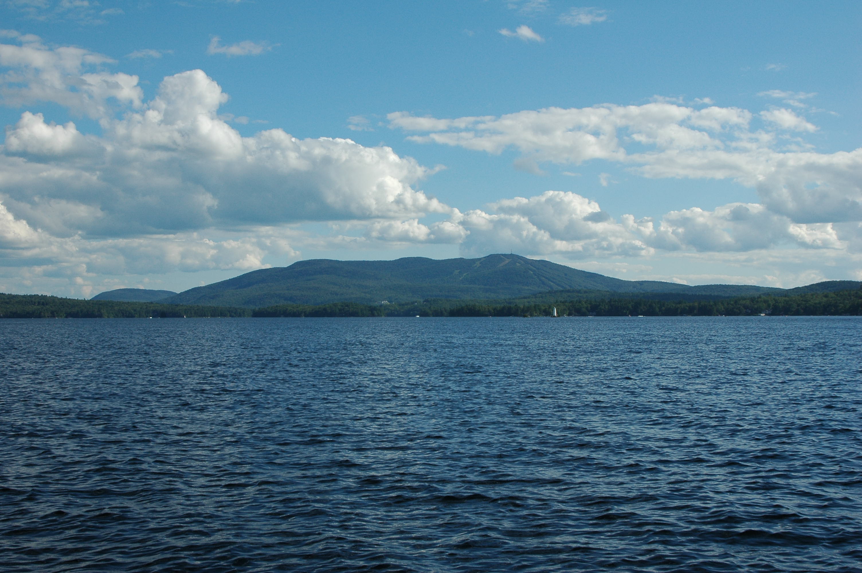
 Mount Sunapee from Georges Mills
External links
Categories:- Landforms of Merrimack County, New Hampshire
- Ski areas and resorts in New Hampshire
- Mountains of New Hampshire
- Landforms of Sullivan County, New Hampshire
- Buildings and structures in Merrimack County, New Hampshire
- Buildings and structures in Sullivan County, New Hampshire
- Visitor attractions in Merrimack County, New Hampshire
- Visitor attractions in Sullivan County, New Hampshire


Wikimedia Foundation. 2010.