- Clavette
-
Clavette

 ClavetteLocation within Poitou-Charentes region
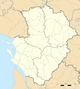 Clavette
Administration Country France Region Poitou-Charentes Department Charente-Maritime Arrondissement La Rochelle Canton La Jarrie Intercommunality Plaine d'Aunis Mayor André Brisson
(2008–2014)Statistics Elevation 14–44 m (46–144 ft)
(avg. 25 m/82 ft)Land area1 6.29 km2 (2.43 sq mi) Population2 955 (2008) - Density 152 /km2 (390 /sq mi) INSEE/Postal code 17109/ 17220 1 French Land Register data, which excludes lakes, ponds, glaciers > 1 km² (0.386 sq mi or 247 acres) and river estuaries. 2 Population without double counting: residents of multiple communes (e.g., students and military personnel) only counted once. Coordinates: 46°08′24″N 1°06′10″W / 46.14°N 1.102667°W
Clavette is a commune in the Charente-Maritime in the department in the Poitou-Charentes region in southwestern France.
Contents
Population
Historical population of Clavette 1962 1968 1975 1982 1990 1999 2008 298 309 319 438 592 711 955 See also
References
External links
- Clavette on the Quid site
- Location of Clavette on the map of France
- Map and aerial photos:
- Street map: Street map from Mapquest, MapPoint or Google or Yahoo! Maps
- Satellite images: Google or Microsoft Virtual Earth - image now available
Categories:- Communes of Charente-Maritime
- Charente-Maritime geography stubs


Wikimedia Foundation. 2010.