Kilbarchan railway station
- Kilbarchan railway station
Infobox UK disused station
name = Kilbarchan
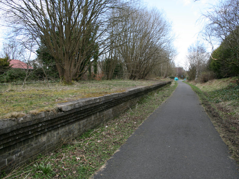
caption = The remains of Kilbarchan in 2008
manager = Glasgow and South Western Railway
locale = Kilbarchan
borough = Renfrewshire
latitude = 55.8322
longitude = -4.5446
gridref = NS407628
years = 1 June 1905
events = Opened
years1 = 27 June 1966
events1 = Closed
platforms = 2|__NOTOC__Kilbarchan railway station was a railway station serving the village of Kilbarchan, Renfrewshire, Scotland. The station was part of the Dalry and North Johnstone Line on the Glasgow and South Western Railway.
History
The station opened on 1 June 1905,[Butt, p. 131] and closed to passengers on 27 June 1966.] Gallery
References
Notes
Sources
*
rail line
previous = Castle Semple
"Line closed; station never opened
next = Johnstone North
"Line and station closed
route = Glasgow and South Western Railway
"'Dalry and North Johnstone Line
col = G&SW colour
###@@@KEYEND@@@###
Wikimedia Foundation.
2010.
Look at other dictionaries:
Johnstone North railway station — Infobox UK disused station name = Johnstone North caption = manager = Glasgow and South Western Railway locale = Johnstone borough = Renfrewshire latitude = 55.8399 longitude = 4.5143 gridref = NS426636 years = 1 June 1905 events = Opened years1 … Wikipedia
Milliken Park railway station — Milliken Park Location Place Johnstone Local authority Renfrewshire Coordinates … Wikipedia
Castle Semple railway station — Infobox UK disused station name = Castle Semple caption = The intended site of the station in 2008 manager = Glasgow and South Western Railway locale = Near Howwood borough = Renfrewshire latitude = 55.8138 longitude = 4.5740 gridref = NS388608… … Wikipedia
Kilbarchan — Coordinates: 55°50′10″N 4°33′13″W / 55.8362°N 4.5537°W / 55.8362; 4.5537 … Wikipedia
Clyde Muirshiel Regional Park — is the collective name for areas of countryside set aside for conservation and recreation on the South Clyde estuary in Scotland. The Park covers an area of 108 square miles (280 km2) of Inverclyde, North Ayrshire and Renfrewshire,… … Wikipedia
List of museums in Scotland — This list of museums in Scotland contains museums which are defined for this context as institutions (including nonprofit organizations, government entities, and private businesses) that collect and care for objects of cultural, artistic,… … Wikipedia
Johnstone — infobox UK place country = Scotland official name= Johnstone gaelic name=Baile Eòin scots name= os grid reference= NS434628 map type= Scotland latitude=55.83333 longitude= 4.51667 population= 16,847 [… … Wikipedia
Lochwinnoch — infobox UK place country = Scotland official name= Lochwinnoch gaelic name= scots name= os grid reference= NS353586 map type= Scotland latitude=55.79255 longitude= 4.62856 population= 2628 [ [http://www.renfrewshire.gov.uk/ilwwcm/publishing.nsf/Co… … Wikipedia
Bridge of Weir — infobox UK place country = Scotland official name= Bridge of Weir gaelic name= scots name= os grid reference= NS387655 map type= Scotland latitude=55.856511 longitude= 4.577666 population= 4,635 [cite web|publisher=Scotland s Census Results… … Wikipedia
Dalry and North Johnstone Line — [v · d · … Wikipedia