- M-132 (Michigan highway)
-
M-132
Route information Length: 7.47 mi[1] (12.02 km) Existed: 1929 – 1960 Major junctions West end: Main Street in Dexter East end:  US 12 in Ann Arbor
Location Counties: Washtenaw Highway system Michigan State Trunkline Highway System
Interstate • US • State←  M-131
M-131M-134  →
→M-132 was the designation of a former state trunkline route in the Lower Peninsula of the US state of Michigan near Ann Arbor. The route, commissioned in 1929, connected Ann Arbor and Dexter to the northwest along present day Dexter-Ann Arbor Road. The route was turned back to local control in 1960.[2][3]
Contents
Route description
Beginning at Main Street in downtown Dexter, M-132, also known as Ann Arbor Road, ran southeast through town. Upon reaching the limits, the road becomes known as Dexter-Ann Arbor Road. It ran southeast across Washtenaw County through fields before entering Ann Arbor where it terminated at US 12, presently known as Huron Street.[4][5]
History
M-132 had existed in its configuration from 1929 until it was removed from the state trunkline system in 1960, a few years after the US 12/I-94 expressway was completed. After removal from the system, the route is now simply known as Dexter-Ann Arbor Road. It is two-lanes wide throughout.[4]
Major intersections
The entire highway was in Washtenaw County.
Location Mile[1][5] Destinations Notes Dexter 0.00 Main Street Western terminus Ann Arbor 7.47 US 12Eastern terminus 1.000 mi = 1.609 km; 1.000 km = 0.621 mi References
- ^ a b "MiGDL - Center for Geographic Information - Geographic Data Library". Michigan Department of Information Technology. May 2007. http://www.mcgi.state.mi.us/mgdl/?rel=thext&action=thmname&cid=14&cat=MI+Geographic+Framework+All+Roads+%28v7b%29. Retrieved March 1, 2008.
- ^ Bessert, Christopher J. (September 25, 2006). "Michigan Highways: Master List 1918-Present". Michigan Highways. http://www.michiganhighways.org/master_list.html#routes120-139. Retrieved November 15, 2006.
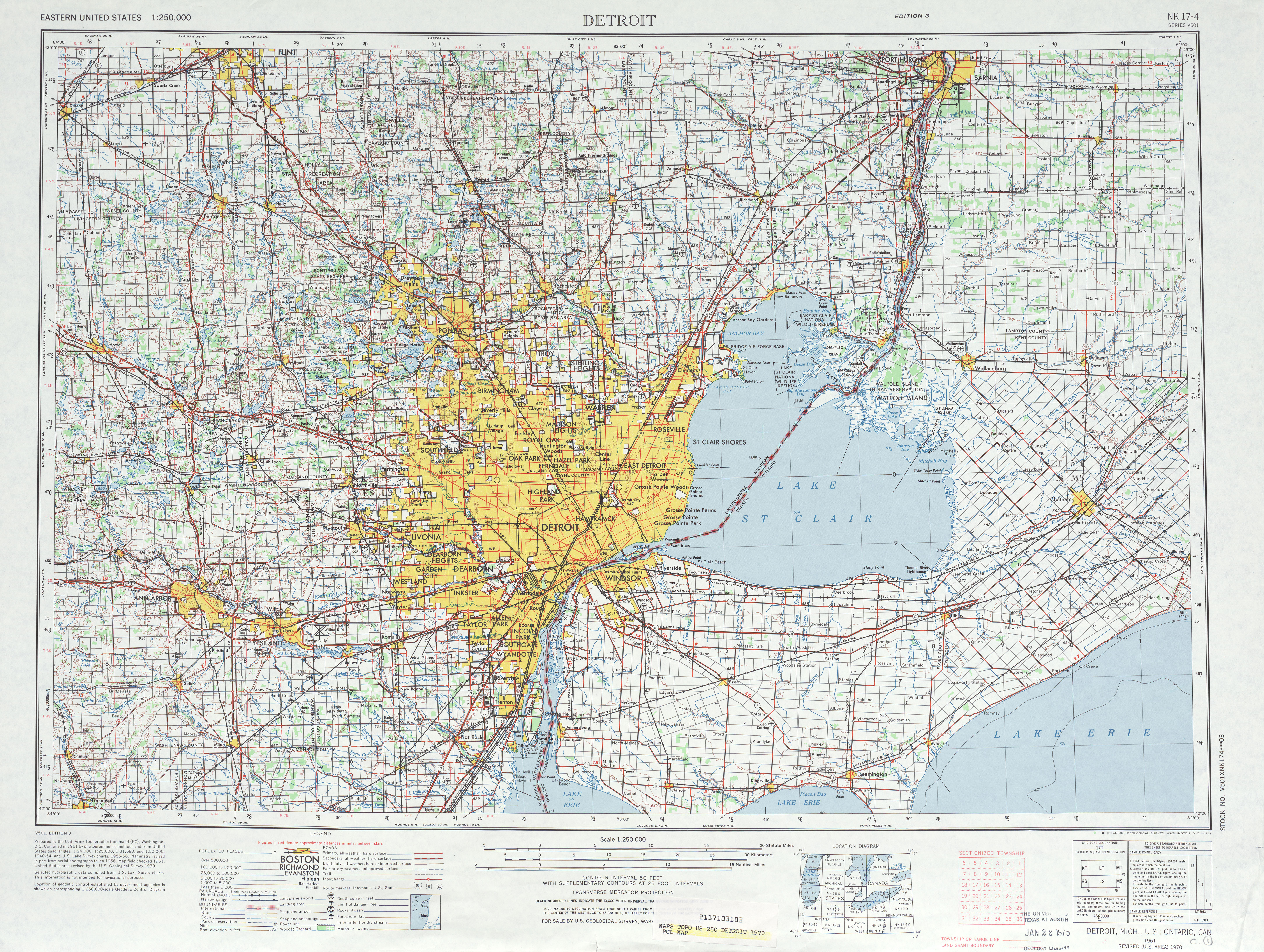
- ^ United States Geological Survey (1949). Detroit (Map). V501. NK 17-4 (40-J). http://www.lib.utexas.edu/maps/topo/250k/txu-pclmaps-topo-us-detroit-1949-a.jpg. Retrieved March 2, 2008.
- ^ a b Google, Inc. Google Maps – M-132 (Michigan highway) (Map). Cartography by Google, Inc. http://maps.google.com/maps?f=d&hl=en&geocode=5239755018062558853,42.337170,-83.887010&saddr=Baker+Rd+%4042.337170,+-83.887010&daddr=42.282135,-83.76616&mra=mi&mrsp=1,0&sz=15&sll=42.286453,-83.773198&sspn=0.023367,0.057335&ie=UTF8&ll=42.3088,-83.818817&spn=0.093434,0.22934&z=13. Retrieved March 1, 2008.
- ^ a b United States Geological Survey (1970). Detroit (Map). V501 (3 ed.). NK 17-4. http://www.lib.utexas.edu/maps/topo/250k/txu-pclmaps-topo-us-detroit-1970.jpg. Retrieved March 2, 2008.
Categories:- Former state highways in Michigan

Wikimedia Foundation. 2010.