- Dunkerton, Somerset
-
Coordinates: 51°19′59″N 2°25′01″W / 51.333°N 2.417°W
Dunkerton 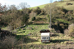
Aqueduct on the Somerset Coal Canal at Dunkerton
 Dunkerton
Dunkerton shown within SomersetPopulation 479 [1] OS grid reference ST710593 Parish Dunkerton Unitary authority Bath and North East Somerset Ceremonial county Somerset Region South West Country England Sovereign state United Kingdom Post town BATH Postcode district BA2 Dialling code 01761 Police Avon and Somerset Fire Avon Ambulance Great Western EU Parliament South West England UK Parliament North East Somerset List of places: UK • England • Somerset Dunkerton is a small village and civil parish 4 miles (6.4 km) north east of Radstock, and 5 miles (8.0 km) south west of Bath, in the Bath and North East Somerset unitary authority, Somerset, England. The parish has a population of 479.[1]
Contents
History
The parish of Dunkerton was part of the Wellow Hundred.[2]
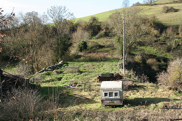
In the 18th and 19th century Dunkerton was surrounded by several coal mines on the Somerset coalfield. Evidence remains in the powderhouse, which dates from 1870 and is a Grade II listed building.[3] The mine was the site of riots in 1908–09 about the working conditions in the Dunkerton Pit.[4]
Parts of the Ealing comedy The Titfield Thunderbolt were filmed at the disused Dunkerton Colliery.
Governance
The parish council has responsibility for local issues, including setting an annual precept (local rate) to cover the council’s operating costs and producing annual accounts for public scrutiny. The parish council evaluates local planning applications and works with the local police, district council officers, and neighbourhood watch groups on matters of crime, security, and traffic. The parish council's role also includes initiating projects for the maintenance and repair of parish facilities, such as the village hall or community centre, playing fields and playgrounds, as well as consulting with the district council on the maintenance, repair, and improvement of highways, drainage, footpaths, public transport, and street cleaning. Conservation matters (including trees and listed buildings) and environmental issues are also of interest to the council.
The parish falls within the unitary authority of Bath and North East Somerset which was created in 1996, as established by the Local Government Act 1992. It provides a single tier of local government with responsibility for almost all local government functions within its area including local planning and building control, local roads, council housing, environmental health, markets and fairs, refuse collection, recycling, cemeteries, crematoria, leisure services, parks, and tourism.It is also responsible for education, social services, libraries, main roads, public transport, trading standards, waste disposal and strategic planning, although fire, police and ambulance services are provided jointly with other authorities through the Avon Fire and Rescue Service, Avon and Somerset Constabulary and the Great Western Ambulance Service.
Bath and North East Somerset's area covers part of the ceremonial county of Somerset but it is administered independently of the non-metropolitan county. Its administrative headquarters is in Bath. Between 1 April 1974 and 1 April 1996, it was the Wansdyke district and the City of Bath of the county of Avon.[5] Before 1974 that the parish was part of the Bathavon Rural District.[6]
The parish is represented in the House of Commons of the Parliament of the United Kingdom as part of North East Somerset. It elects one Member of Parliament (MP) by the first past the post system of election. It is also part of the South West England constituency of the European Parliament which elects seven MEPs using the d'Hondt method of party-list proportional representation.
Religious sites
All Saints' Church dates from the 14th century and is a Grade II* listed building.[7]
References
- ^ a b "Population Statistics for Bath & North East Somerset". Statistics and Census Information. Bath and North East Somerset. http://www.bathnes.gov.uk/councilanddemocracy/statisticsandcensusinformation/Pages/default.aspx. Retrieved 2010-10-08.
- ^ "Somerset Hundreds". GENUKI. http://www.genuki.org.uk/big/eng/SOM/Miscellaneous/. Retrieved 22 October 2011.
- ^ "Powderhouse". Images of England. http://www.imagesofengland.org.uk/details/default.aspx?id=32693. Retrieved 2006-11-20.
- ^ Down, C.G.; A. J. Warrington (2005). The history of the Somerset coalfield. Radstock: Radstock Museum. ISBN 0955168406.
- ^ "The Avon (Structural Change) Order 1995". HMSO. http://www.opsi.gov.uk/si/si1995/Uksi_19950493_en_1.htm. Retrieved 2007-12-09.
- ^ A Vision of Britain Through Time : Bathavon Rural District
- ^ "All Saints Church". Images of England. http://www.imagesofengland.org.uk/details/default.aspx?id=32683. Retrieved 2006-11-20.
External links
Categories:- Somerset coalfield
- Civil parishes in Somerset
- Villages in Bath and North East Somerset

Wikimedia Foundation. 2010.