- Dogmersfield
-
Coordinates: 51°16′12″N 0°52′27″W / 51.269877°N 0.874078°W
Dogmersfield 
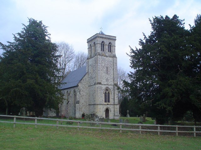
All Saints Church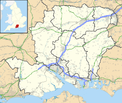
 Dogmersfield
Dogmersfield shown within HampshirePopulation SU785529 District Hart (district) Shire county Hampshire Region South East Country England Sovereign state United Kingdom Post town Hook, Hart Postcode district RG27 Dialling code 01252 Police Hampshire Fire Hampshire Ambulance South Central EU Parliament South East England UK Parliament North-East Hampshire Website http://www.dogmersfieldparish.co.uk/ List of places: UK • England • Hampshire Dogmersfield is a small and peaceful village between the towns of Fleet and Hartley Wintney located in Hampshire, England.
Places of interest include the village church, the Queen's Head pub and a mansion house known variously as Dogmersfield House or Dogmersfield Park. Henry VIII's elder brother Prince Arthur and his wife Catherine of Aragon are said to have stayed in the village.
There is also a small school (Dogmersfield Primary School) which was built in 1911 and currently has just over 100 pupils housed in five classrooms. Every year the school still has a May Fair with traditional Maypole dancing and crowning of the May Queen. Until very recently, pupils had PE lessons on Dogmersfield cricket pitch, which is adjacent to the school.
The Basingstoke Canal runs through Dogmersfield and a lake (Tundry Pond) is situated in the grounds of Dogmersfield House (now a hotel). Local legend says that Dogmersfield village was originally built on the area that is now Tundry Pond, until the owner of Dogmersfield House decided he wanted a view of a lake from his window. It was on his orders the houses were moved, brick by brick, to their current location. The house, originally built by the St John-Mildmays in 1727, was Reeds School in the mid-1900s and later became the Noviciate and house of studies for the De La Salle Order, a Roman Catholic institute of teaching Brothers. After they left the site, it was partially burned down, the remainder falling into disrepair. It was subsequently restored and enlarged, and then occupied by both the Amdahl Corporation and Systems Union and is now the Four Seasons Hotel.
Following the De La Salle ownership of the house it was sold to the Vallance family, the owners of Daneshill School, who relocated from its previous home in Old Basing, at Daneshill House. Owing to increasingly stringent fire safety regulations and market forces it became uneconomic to accommodate boarders in the main house and smaller premises were sought. The house was both a family home and a school. The property was sold onto an investor who had the intention opening a health farm, this unfortunately never happened owing to the devastating fire that took place.
Dogmersfield School is often involved in sporting activities with rival Long Sutton Primary School.
See also
External links
 Media related to Dogmersfield at Wikimedia Commons
Towns, villages and hamlets in the Hart District of Hampshire, England 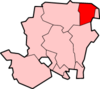 Blackwater • Blounce • Bramshill • Chandlers Green • Church Crookham • Crondall • Crookham Village • Darby Green • Dogmersfield • Dora's Green • Eversley • Eversley Centre • Eversley Cross • Ewshot • Fleet • Frogmore • Greywell • Hartfordbridge • Hartley Wespall • Hartley Wintney • Hawley • Hazeley • Heckfield • Heckfield Heath • Hook • Hook Common • Hound Green • Long Sutton • Lower Common • Mattingley • Mill Lane • Minley • North Warnborough • Odiham • Phoenix Green • Rotherwick • Rye • South Warnborough • Warnborough Green • Well • West Green • Whitehall • Winchfield • Winchfield Green • YateleyCategories:
- Villages in Hampshire
- Hampshire geography stubs
- Places in Hart (district)


Wikimedia Foundation. 2010.