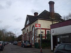
- Chipstead railway station
-
Chipstead 
 Chipstead
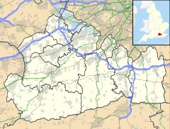
Location of Chipstead in SurreyLocation Chipstead Local authority Reigate and Banstead Managed by Southern Station code CHP Number of platforms 2 Fare zone 6 National Rail annual entry and exit 2004-05 125,459[1] 2005-06 127,983[1] 2006-07 146,109[1] 2007-08 164,955[1] 2 November 1897 Opened List of stations Underground · National Rail External links Departures • Layout Facilities • Buses Coordinates: 51°18′32″N 0°10′08″W / 51.309°N 0.169°W
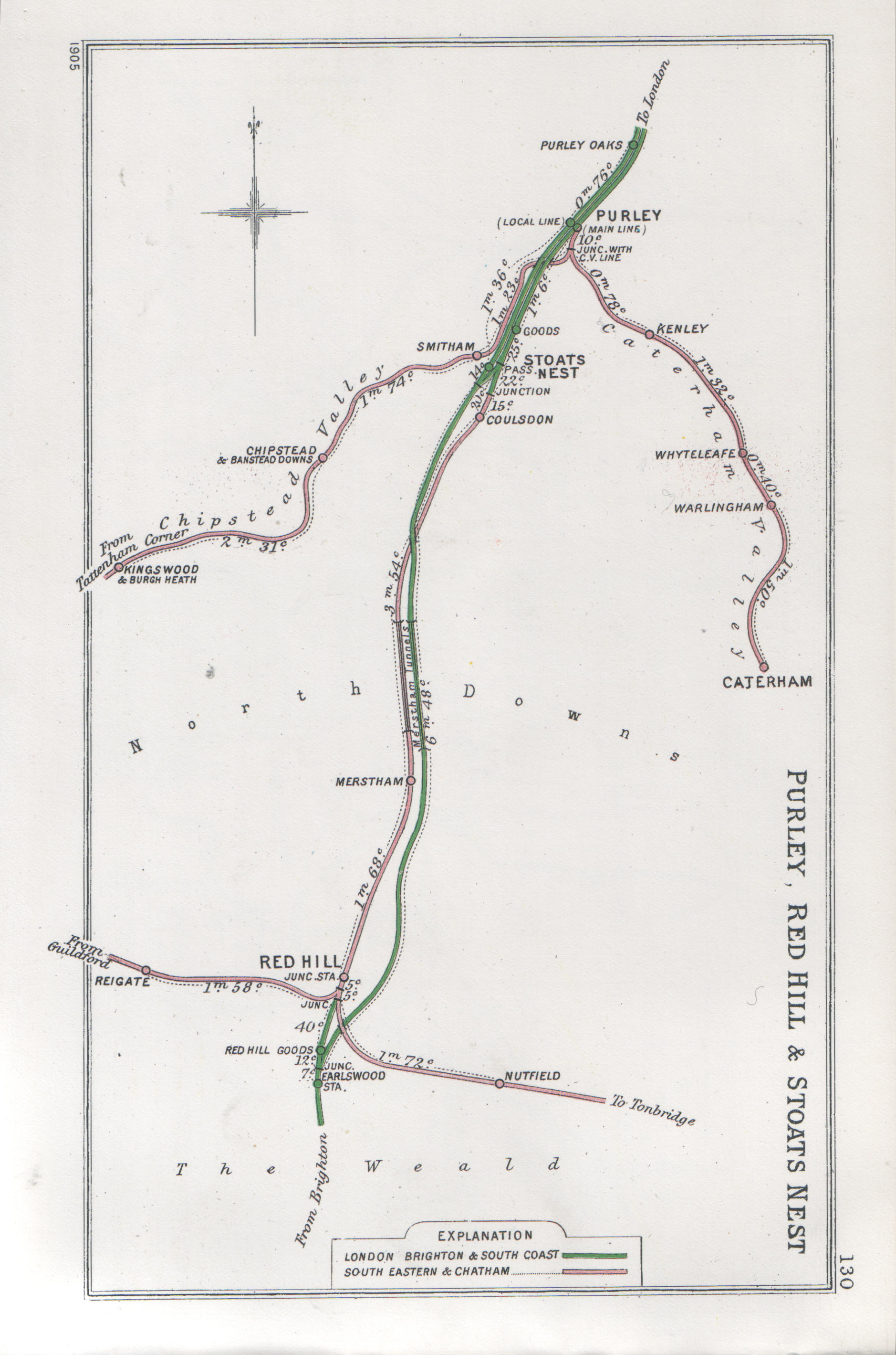
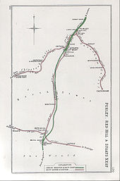 A 1905 Railway Clearing House map of lines around Chipstead railway station.
Chipstead railway station is in the county of Surrey. It is a late-Victorian station on the Tattenham Corner Line. The station and all trains serving it are operated by Southern. It is in Travelcard Zone 6.
The station buildings are no longer used by Southern, having been sold off and converted for private use in the mid-late 1990s, and a small ticket office is in a pre-fabricated building on the Up platform.
Services
Typical off-peak train service per hour:
- 2 to London Bridge via East Croydon.
- 2 to Tattenham Corner
Preceding station  National Rail
Following station Woodmansterne Southern
Tattenham Corner LineKingswood References
- ^ a b c d "Station usage". Rail statistics. Office of Rail Regulation. 30 April 2010. http://www.rail-reg.gov.uk/server/show/nav.1529. Retrieved 17 January 2011. Please note: Some methodology may vary year on year.
External links
- Train times and station information for Chipstead railway station from National Rail
Categories:- Stations in London fare zone 6
- Railway stations in Surrey
- Former South Eastern Railway (UK) stations
- Railway stations opened in 1897
- Railway stations served by Southern
- DfT Category E stations
- Railway stations managed by Southern (train operating company)
- Surrey building and structure stubs
- South East England railway station stubs


Wikimedia Foundation. 2010.