- Church Avenue Line (surface)
-
The Church Avenue Line is a public transit line in Brooklyn, New York City, running mainly along 39th Street and Church Avenue between Sunset Park and Brownsville. Originally a streetcar line, it is now the B35 bus route, operated by MTA New York City Bus' Jackie Gleason Depot in Sunset Park.
B35 bus route
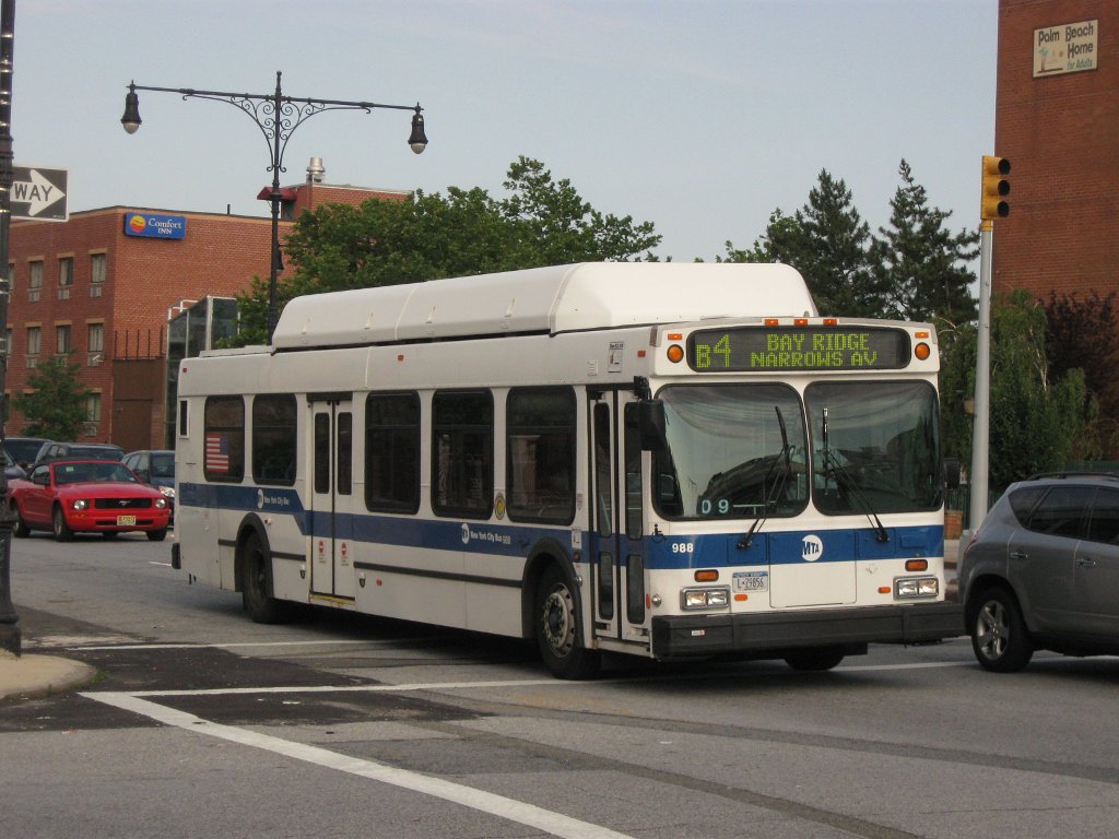
The B35 bus route runs between a cut-off lane on 39th Street slightly east of 1st Avenue in Sunset Park and Hegeman Avenue and Mother Gaston Boulevard in Brownsville via 39th Street and Church Avenue. This route serves the Bush Terminal Warehouses and the Brookdale Hospital Medical Center. It also connects with the B7, B8, B15 to JFK Airport, B16, B17, B41 Limited, B44 Limited, B46 Limited, B47, B49 Limited, B60, B63, B67, B68, B103 Limited, BM1, BM2, BM3, and BM4 bus routes and these subway stations:
- Ninth Avenue on the BMT West End Line (D
 )
) - Church Avenue on the IND Culver Line (F )
- Church Avenue on the BMT Brighton Line (B
 Q )
Q ) - Church Avenue on the IRT Nostrand Avenue Line (2 5 )
The B35 also offers daily Limited-stop service (instituted in September 2005) between McDonald Avenue in Kensington and the route's Brownsville terminus at Mother Gaston Boulevard throughout the day. Limited-stop buses however make all stops between 1st Avenue and McDonald Avenue, and local service east of McDonald Avenue is provided by B35 local buses which only go to McDonald Avenue while Limited-stop service is running.
History
The line was built after 1897,[1] connecting the 39th Street Ferry to the Canarsie Depot at Hegeman Avenue and Rockaway Avenue and a tunnel under Ocean Parkway. The streetcars continued to operate until October 31, 1956 when buses were substituted.
The Gravesend and Church Avenues Line ("13-Gravesend-Church") was physically a branch from the main line though it operated as a separate service, starting from the 16th Avenue loop at Gravesend Avenue (present-day McDonald Avenue) in Kensington heading north along Gravesend Avenue and joining the main line at Gravesend Avenue and Church Avenue. The operation as a separate line ended on June 1, 1949 though the same physical service was continued as a branch of the newly renumbered "35-Church Avenue Line" (renumbered from the "8-Church Avenue Line") until the end of Brooklyn streetcar operations.
Service on the McDonald Avenue portion of the line immediately after its demise was covered by a free transfer to the then-extended B69 Prospect Park West, 8th Avenue, and Vanderbilt Avenue bus route (the line has since been truncated at Windsor Terrace). After the truncation of the B69, the B67 McDonald Avenue and 7th Avenue bus route was extended to Cortelyou Road (which is slightly north of the old 16th Avenue Loop) which remains the same presently.
References
- ^ Rand McNally, Brooklyn and vicinity, 1897 Atlas of the World
Former streetcar lines in Brooklyn and other B&QT lines 2 Bergen - 3 Sumner - 5 St. Johns - 7 Tompkins - 9 Rockaway - 10 Ralph-Rockaway - 11 Ralph - 13 Gravesend-Church - 14 Wilson - 15 Crosstown - 16 Graham - 17 Greenpoint - 19 Nassau - 21 DeKalb - 24 Broadway - 25 Fulton - 26 Putnam - 27 Jamaica - 28 Erie Basin - 29 Meeker-Marcy - 30 Eighth - 31 86th - 32 Fifth - 33 Hamilton - 34 Bay Ridge - 35 Church - 36 Sea Gate - 37 Third - 38 West End - 41 Flatbush - 42 Holy Cross - 43/44 Nostrand - 46 Utica-Reid - 47 Franklin - 48 Lorimer - 49 Ocean - 50 Bushwick - 50 McDonald - 52 Greene-Gates - 53 Metropolitan - 54 Myrtle-Court - 55 Richmond Hill - 56 Union Av - 57 Flushing - 58 Flushing-Ridgewood - 59 Grand - 67 Seventh - 68 Smith-Coney Island - 69 McDonald-Vanderbilt - 71 Union St - 73 Norton's Point - 75 Smith St - 77 Fifteenth - 82 Bergen Beach - 83 Norton's Point ShuttleAdams-Boerum - Brooklyn Bridge - Brooklyn & North River - Court - Furman - Hicks - Hoyt-Sackett - Hudson - Manhattan Bridge 3¢ - Montague - New Lots - Queensboro BridgeCurrent bus routes in Brooklyn  Categories:
- Streetcar lines in Brooklyn
- MTA Regional Bus routes
- 1897 introductions
- Ninth Avenue on the BMT West End Line (D
Wikimedia Foundation. 2010.