- Shire of Cunderdin
Infobox Australian Place | type = lga
name =Shire of Cunderdin
state =wa
postcode =
imagesize= 180
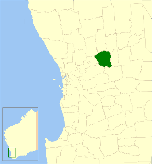
caption = Location inWestern Australia
region =Wheatbelt
area =1864.2
seat =Cunderdin
pop =1,250 (2006 census)
logo =
logosize =
url =http://www.cunderdin.wa.gov.au
mayor =Graham Cooper
fedgov =O'Connor
stategov =Central Wheatbelt
near-nw = Goomalling
near-n = Dowerin
near-ne = Wyalkatchem
near-w = Northam
near-e = Tammin
near-sw = York
near-s = Quairading
near-se = QuairadingThe Shire of Cunderdin is a Local Government Area located in the Wheatbelt region of
Western Australia , about convert|105|km|mi|0 west of Merredin and about convert|155|km|mi|0 east of Perth, the state capital. The Shire covers an area of convert|1864|km2|sqmi|0 and its seat of government is the town of Cunderdin.History
In 1894, the Meckering Road Board was gazetted, changing its name to Cunderdin in 1944. On 1 July 1961, it became a Shire Council following changes to the Local Government Act. [WA Electoral Commission, "Municipality Boundary Amendments Register" (release 2.0), 31 May 2003.]
Wards
All wards in the shire were abolished before the 2003 election. Prior to this, it had 8 councillors representing two wards - West Ward (3 councillors) and Central Ward (5 councillors).
Towns/Localities
* Cunderdin
* Meckering
* Warding East
* Wyola West
* YoundeginReferences
External links
* [http://www.cunderdin.wa.gov.au/ Shire of Cunderdin]
Wikimedia Foundation. 2010.