- Shire of Wyalkatchem
Infobox Australian Place | type = lga
name =Shire of Wyalkatchem
state =wa
region =Wheatbelt
imagesize= 180
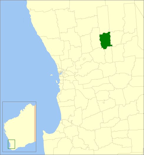
caption = Location inWestern Australia
area =1595.4
est =
seat =Wyalkatchem
pop =564 (2006 census)
density =0.35
logo =
logosize =
url =http://www.wyalkatchem.wa.gov.au
mayor =Susan Bruse
fedgov =O'Connor
stategov =Central Wheatbelt
near-nw = Wongan Ballidu
near-n = Koorda
near-ne = Mt Marshall
near-w = Dowerin
near-e = Trayning
near-sw = Cunderdin
near-s = Tammin
near-se = KellerberrinThe Shire of Wyalkatchem is a Local Government Area located in the Wheatbelt region of
Western Australia . Its seat of government is the town of Wyalkatchem, about convert|190|km|mi|0 northeast of Perth, the state capital.History
In 1920, the Wyalkatchem Road Board was gazetted out of land previously administered by the Ninghan and Dowerin Road Boards. On 1 July 1961, it became the Shire of Wyalkatchem following changes to the Local Government Act. [WA Electoral Commission, "Municipality Boundary Amendments Register" (release 2.0), 31 May 2003.]
Wards
The shire has no wards, and seven councillors. The shire president is elected from amongst the councillors.
Towns/Localities
* Wyalkatchem
* Benjaberring
* Cowcowing
* Korrelocking
* NembuddingReferences
External links
* [http://www.wyalkatchem.wa.gov.au Shire of Wyalkatchem website]
Wikimedia Foundation. 2010.