- Cheshire Ring
-
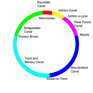 Schematic of the Cheshire Ring
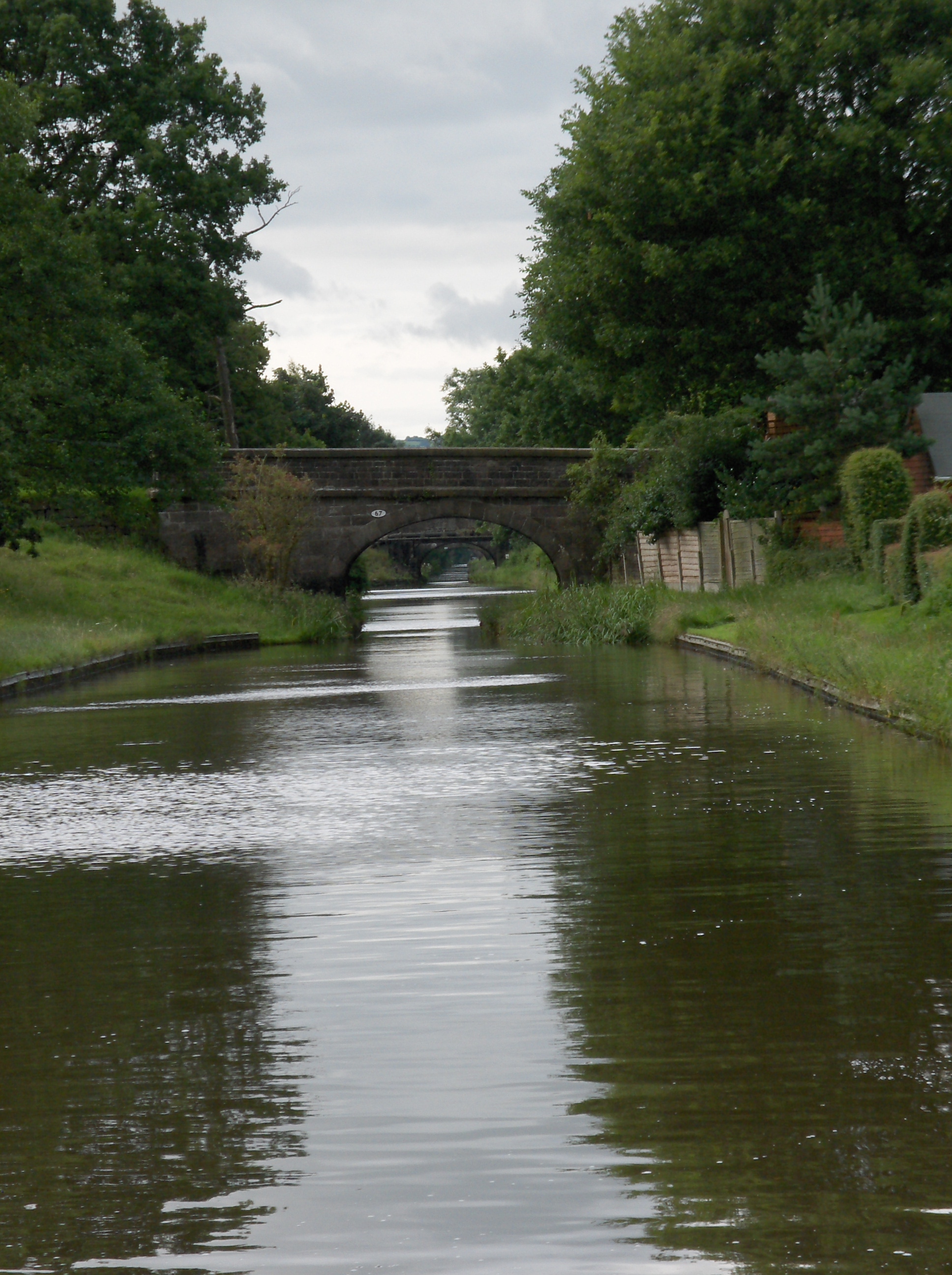
 Ashton Canal at Droylsden
 Marple Junction
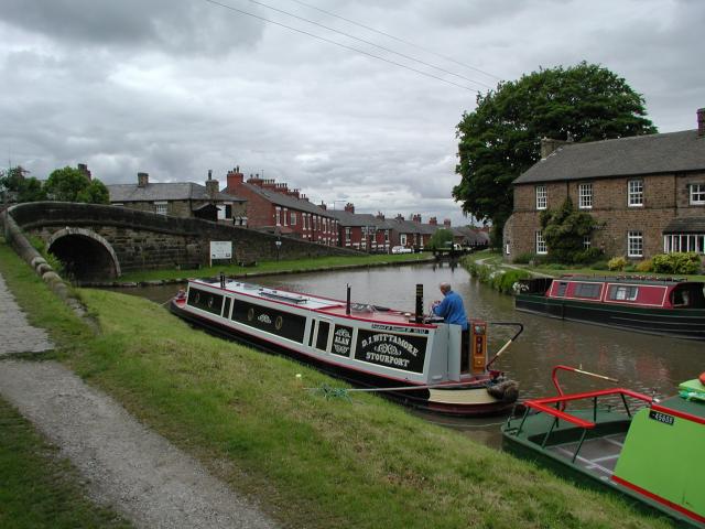
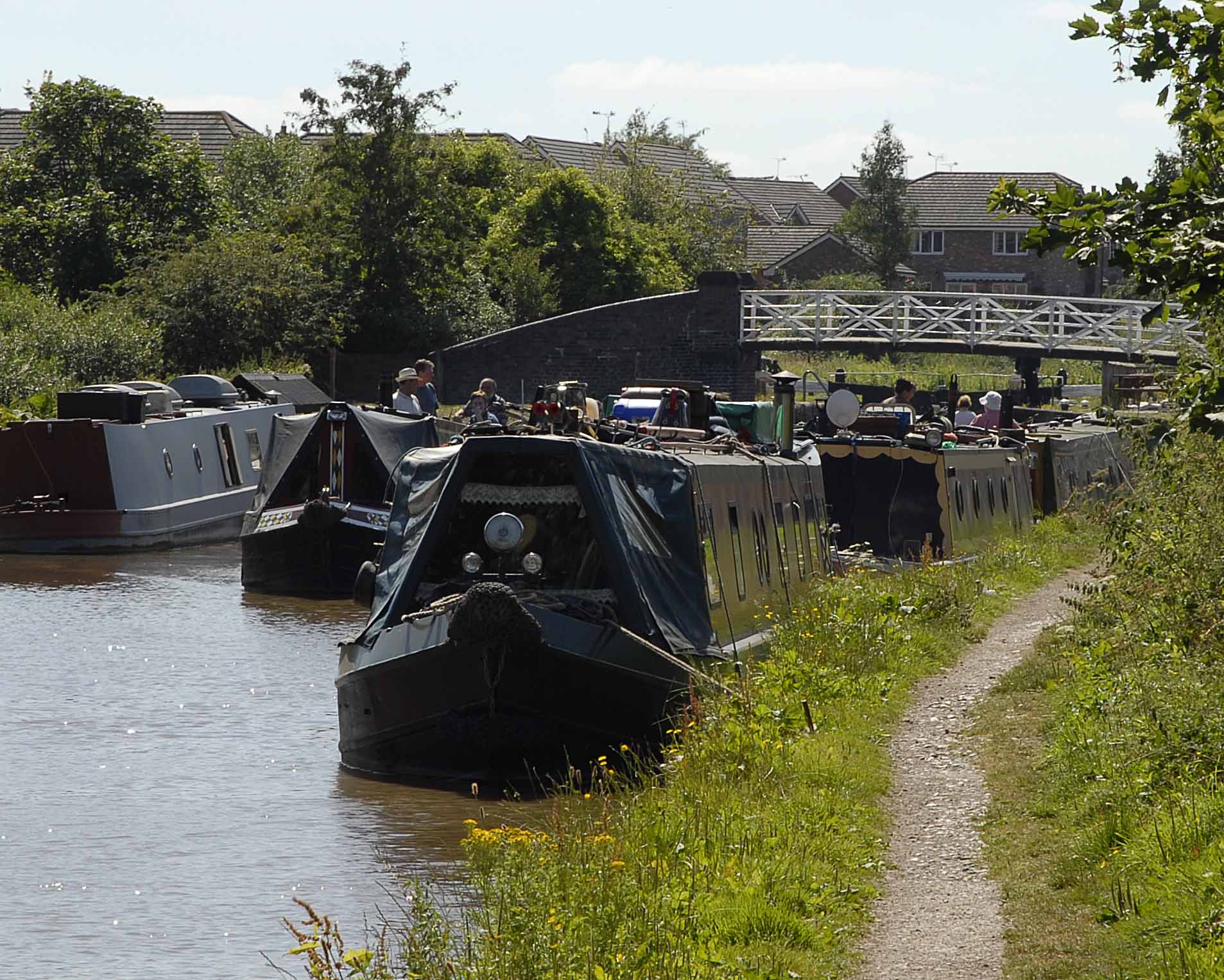
 Near Congleton
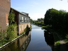
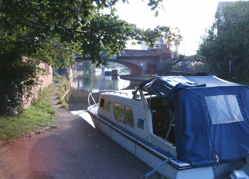
 Bridgewater Canal at Stockton Heath
The Cheshire Ring is a popular canal cruising circuit, or canal ring which includes six of the canals in and around Cheshire, England.
Because it takes approximately a week to complete, it is suited to narrowboat holidays which start and return to the same location. The route has 92 locks and is 97 miles (156 km) long. It offers a contrast between the city centre of Manchester, views of the Peak District, and the Cheshire Plain.[1]
Contents
History
The term Cheshire Ring first appeared in the Inland Waterways Association (IWA) Bulletin in 1965,[2] where it was coined as part of a campaign to prevent abandonment of, and restore navigation to that part of what had previously been known as the Peak Forest Circular Route that lay between Manchester and Marple.
With the decline of commercial carrying after the Second World War, the sections of the Rochdale, Ashton and Peak Forest Canals, which make up the urban part of the ring had gradually fallen into disuse, and by the early 1960s were impassable, with little depth of water, and many locks in an unusable condition.
There was a grave risk that the canals would be abandoned, and infilled, as they were becoming a stinking eyesore. Perseverance by the IWA and the Peak Forest Canal Society eventually paid off, and on 1 April 1974, following restoration, the ring was re-opened to navigation.
The Rochdale Canal (unlike most other canals in England) was not nationalised in 1947, and remained in the ownership of the Rochdale Canal Company. Both the Rochdale Canal and Bridgewater Canal had escaped nationalisation as a result of being wholly owned subsidiaries of the Manchester Ship Canal company.
In 2002, as part of the restoration of the Rochdale, ownership of the Rochdale Canal Company passed to the Waterways Trust, and British Waterways became the navigation authority, thus bringing to an end the £35 toll that had hitherto been charged to use the one mile section through Manchester, and which had deterred some boats from attempting the ring.
Component canals
Clockwise from Manchester (Ducie St Junction):
- Ashton Canal
- Peak Forest Canal
- Macclesfield Canal
- Trent and Mersey Canal
- Bridgewater Canal
- Rochdale Canal
Places
Places on each canal (clockwise from Ducie St Junction, just north of Manchester Piccadilly station):
- Ashton Canal: Ancoats, Clayton, Droylsden, Audenshaw, Ashton-under-Lyne
- Peak Forest Canal: Dukinfield, Hyde, Woodley, Bredbury, Romiley, Marple
- Macclesfield Canal: High Lane, Higher Poynton, Bollington, Macclesfield, Bosley, Congleton
- Trent and Mersey Canal: Kidsgrove, Church Lawton, Rode Heath, Wheelock, Middlewich, Northwich, Anderton
- Bridgewater Canal: Preston Brook, Lymm, Sale
- Rochdale Canal: Manchester
See also
References
- ^ "British Waterways Inland Canal Navigations - the Cheshire Ring". Papillon Graphics' Virtual Encyclopaedia of Greater Manchester. http://www.manchester2002-uk.com/maps/canalss-map.html. Retrieved 2007-01-08.
- ^ "The Cheshire Ring". Jim Shead's Waterways Information. http://www.jim-shead.com/waterways/Articles.php?wpage=91. Retrieved 2007-08-22.
Categories:- Canals in Cheshire
- Canal rings in the United Kingdom
- Canals in Greater Manchester


Wikimedia Foundation. 2010.