- Oklahoma State Highway 72
-
State Highway 72
Route information Maintained by ODOT Length: 32.9 mi (52.9 km) Major junctions South end:  US-266 west of Checotah
North end:  SH-51 in Coweta
Highway system Oklahoma State Highways
Oklahoma turnpike system←  SH-71
SH-71SH-73  →
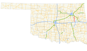
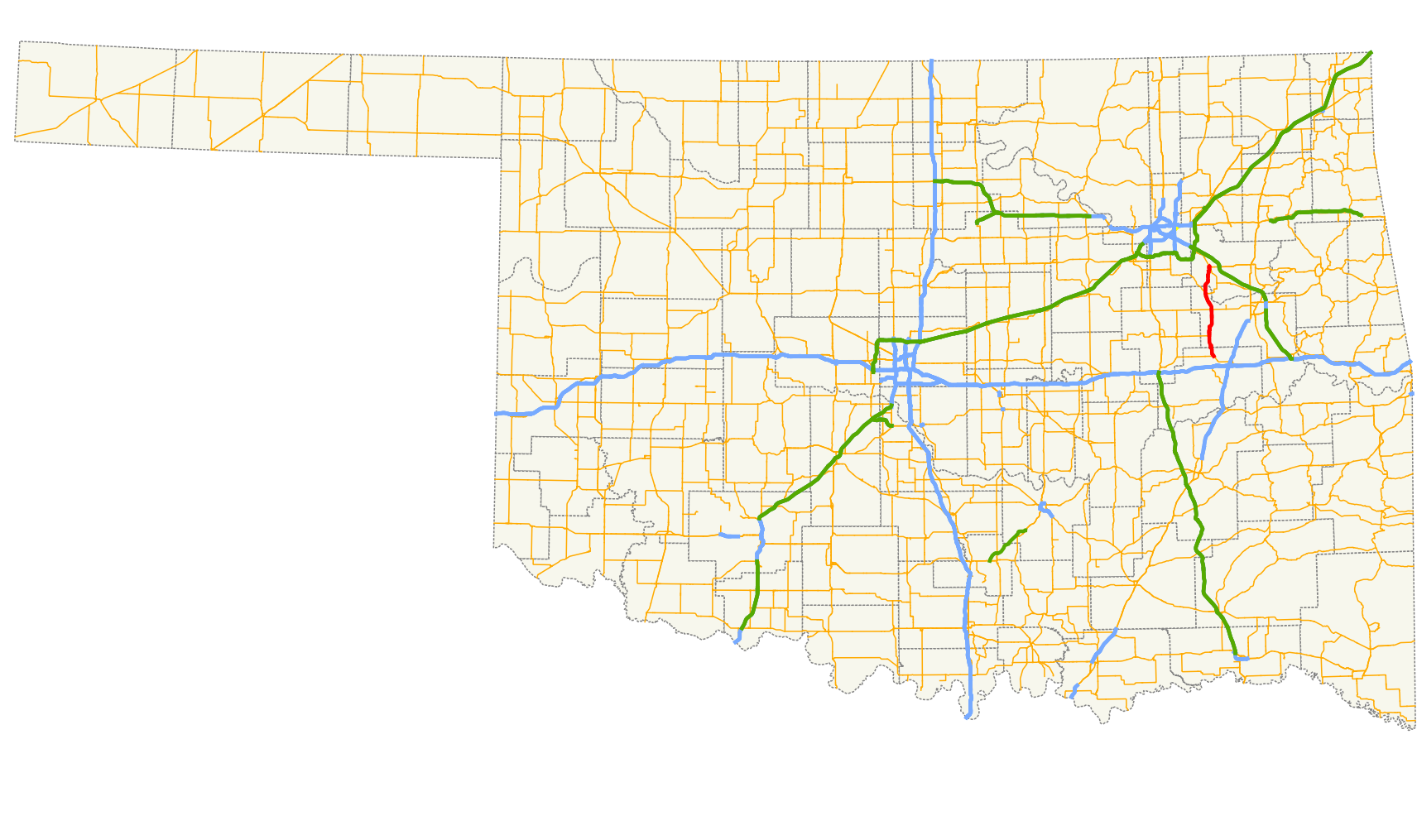
→State Highway 72 (abbreviated SH-72 or OK-72) is a state highway in the U.S. state of Oklahoma. It runs from north to south through the east-central part of the state, with a length of almost 33 miles[1] (53 km). It does not have any lettered spur routes.
Contents
Route description
SH-72 begins at U.S. Highway 266 west of Checotah and heads north, passing through Council Hill after 4 miles (6.4 km). Two miles south of Boynton, it meets US-62, which it starts a duplex with. Past Boynton, it has a junction with US-64 and SH-16; US-62 splits off of SH-72 and US-64 joins it.
Near Haskell, US-64 splits off SH-72, headed towards Tulsa. SH-72 continues northward to cross the Arkansas River, to Coweta.
Junction list
County Location Mile[1] Destinations Notes McIntosh 0.0 US-266Southern terminus Muskogee 7.7  US-62
US-62Jamesville 16.8 US-6216.8  US-64
US-6416.8  SH-16
SH-16Haskell 22.7  SH-104
23.1 US-64Wagoner Coweta 32.1  SH-51B
32.9 SH-51Northern terminus 1.000 mi = 1.609 km; 1.000 km = 0.621 mi References
- ^ a b Stuve, Eric. "OK-72". OKHighways. http://www.okhighways.com/ok72.html. Retrieved 2007-05-26.
External links
Categories:- State highways in Oklahoma

Wikimedia Foundation. 2010.