- San Ramon, California
Infobox Settlement
official_name = San Ramon, California
settlement_type =City 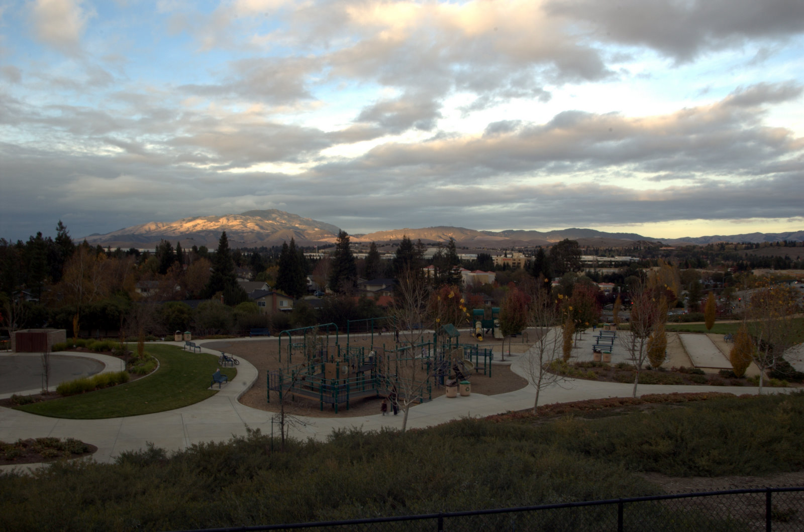
imagesize =
image_caption =
image_

mapsize = 250x200px
map_caption = Location in Contra Costa County and the state ofCalifornia
mapsize1 =
map_caption1 =
subdivision_type = Country
subdivision_type1 = State
subdivision_type2 = County
subdivision_name =United States
subdivision_name1 =California
subdivision_name2 = Contra Costa
government_type =
leader_title = Mayor
leader_name =H. Abram Wilson
leader_title1 = Senate
leader_name1 =Tom Torlakson (D)
leader_title2 = Assembly
leader_name2 = Guy Houston (R)
leader_title3 = U. S. Congress
leader_name3 =Jerry McNerney (D)
leader_title4 = U. S. Congress
leader_name4 =Ellen O. Tauscher (D)
established_date =
area_magnitude =
area_total_sq_mi = 18
area_water_km2 = 0
area_water_sq_mi = 0
elevation_ft = 480
elevation_m = 146
population_as_of = 2008
population_footnotes =
population_total = 60,000
population_metro =
population_density_km2 = 1490.7
population_density_sq_mi = 3855.3
timezone = PST
utc_offset = -8
latd = 37 |latm = 45 |lats = 26 |latNS = N
longd = 121 |longm = 57 |longs = 8 |longEW = W
timezone_DST = PDT
utc_offset_DST = -7
postal_code_type =ZIP code
postal_code = 94582, 94583
area_code = 925
blank_name = FIPS code
blank_info = 06-68378
blank1_name = GNIS feature ID
blank1_info = 1656275
footnotes =
website = http://www.ci.san-ramon.ca.usSan Ramon (from Spanish: "San Ramón" meaning: St. Raymond) is a city in
Contra Costa County ,California ,United States . It is a part of the San Francisco Bay Area. Since 1980, the population of San Ramon has increased by over 128% from 22,356 to approximately 60,000 in 2008. [Cite web |title = City of San Ramon |url=http://www.ci.san-ramon.ca.us/srhistory/profile.htm]San Ramon is a suburb of San Francisco, Oakland, and
Silicon Valley . As the location of the former headquarters of the company formerly known as Pacific Bell (later SBC, nowAT&T ), it is the home ofDilbert (Scott Adams worked there before creating the Dilbert comic strip). It is also home to the headquarters ofChevron Corporation ,24-Hour Fitness ,Diablo Valley College San Ramon Valley Center , and two main public high schools:California High School andDougherty Valley High School .On April 24, 2001, San Ramon received the title
Tree City USA . [Cite web |title = City Council Minutes |url=http://www.ci.san-ramon.ca.us/councilagenda/yr2001/cc4-24-01.htm]Geography
San Ramon is located at coor dms|37|45|26|N|121|57|8|W|city (37.757350, -121.952138).GR|1 According to the
United States Census Bureau , the city has a total area of 30.0 km² (11.6 mi²); 30.0 km² (11.6 mi²) of it is land and 0.09% is water.It is adjacent to
Danville, California andDublin, California .San Ramon can be described as lying in a valley, flanked by hills. Its borders (east to west) extend from Norris Canyon in the west to
Mt. Diablo in the east.Demographics
As of the
census GR|2 of 2008, there were 60,000 people, 23,600 households, and 12,148 families residing in the city. Thepopulation density was 1,491.1/km² (3,862.0/mi²). There were 17,552 housing units at an average density of 585.2/km² (1,515.7/mi²). The racial makeup of the city was 76.82% White, 1.93% Black or African American, 0.36% Native American, 14.94% Asian, 0.21% Pacific Islander, 2.16% from other races, and 3.58% from two or more races. 7.24% of the population were Hispanic or Latino of any race.There were 23,600 households out of which 37.9% had children under the age of 18 living with them, 61.8% were married couples living together, 7.0% had a female householder with no husband present, and 28.3% were non-families. 21.1% of all households were made up of individuals and 3.6% had someone living alone who was 65 years of age or older. The average household size was 2.63 and the average family size was 3.12.
In the city the population was spread out with 26.3% under the age of 18, 5.8% from 18 to 24, 35.7% from 25 to 44, 26.2% from 45 to 64, and 6.1% who were 65 years of age or older. The median age was 36 years. For every 100 females there were 97.3 males. For every 100 females age 18 and over, there were 94.6 males.
The median income for a household in the city was $95,856, and the median income for a family was $106,321. Males had a median income of $73,502 versus $50,107 for females. The
per capita income for the city was $42,336. About 1.4% of families and 2.0% of the population were below thepoverty line , including 1.4% of those under age 18 and 4.5% of those age 65 or over.Government
The City Council is the elected policy-making body for the City of San Ramon. It is composed of four Councilmembers elected at-large who serve four-year overlapping terms and an elected Mayor who serves for a two-year term. The City Council serves as the Board of Directors for the San Ramon Redevelopment Agency and the San Ramon Public Financing Authority, and acts as Housing Commission for the San Ramon Housing Authority. The City Council appoints the City Manager and the City Attorney.
Until June 30, 2007, police services were provided under contract by the
Contra Costa County Sheriff's Department . On July 1, 2007, the city officially took over providing police services. Fire and EMS are provided by theSan Ramon Valley Fire Protection District .Economy
The development of
Bishop Ranch Business Park in 1982, transformed San Ramon into a significant regional employment center. With the development of major new employment centers, employees are attracted from such far away distances as Sacramento and San Joaquin Counties.The Bishop Ranch Business Park consists of convert|580|acre|km2 of land with convert|5900000|sqft|m2 of office space. The office park currently is home to approximately 200 companies including such
Fortune 500 companies asAT&T (formerlySBC ), Chevron,Toyota ,United Parcel Service and Walsh Wireless. San Ramon is an expanding city and it is expected that over 16,000 jobs will be added within the next 15 years. This represents a 58% increase over the current 27,643 jobs in San Ramon.chools
San Ramon's school are a part of the
San Ramon Valley Unified School District
*California High School
*Dougherty Valley High School
*Iron Horse Middle School
* Pine Valley Middle School
*Windemere Ranch Middle School
* Gale Ranch Middle School
* Bollinger Canyon Elementary School
* Country Club Elementary School
* Coyote Creek Elementary School
* Golden View Elementary School
* Hidden Hills Elementary School
* Live Oak Elementary School
* Montevideo Elementary School
* Neil Armstrong Elementary School
* Quail Run Elementary School
* Twin Creeks Elementary School
* Walt Disney Elementary School
* Venture Independent Study SchoolHistory
San Ramon was originally home to the
Seunen Indians,Ohlone /Costanoans who lived adjacent to the valley creeks. After 1797, it wasMission San Jose grazing land; later it includedJose Maria Amador 's 16,000 plus acreRancho San Ramon .San Ramon Creek was named after an Indian vaquero, Ramon, who tended mission sheep here. In an 1855 land title case, Don Amador explained that "San" was added to the creek's name to conform with Spanish custom.American settlers first came to San Ramon in 1850 when Leo and Mary Jane Norris purchased convert|4450|acre|km2|0 of land from Amador. Other early landowners were William Lynch, James Dougherty, and Major Samuel Russell. In 1852 Joel and Minerva Harlan bought land from Norris and built a house on what became the Alameda-
Contra Costa County line in 1853.Many of San Ramon's founding families are remembered today because their names grace various canyons, hills and streets. Some of these pioneers were Norris, Lynch, Harlan, McCamley, Crow, Bollinger, Meese, Glass, and Wiedemann. Both the Harlan home (1858) at 19251 San Ramon Valley Blvd. and the Wiedemann home (1865) near Norris Canyon still stand in their original locations. The
Glass House (1877) has been moved toForest Home Farms .San Ramon had several names in the nineteenth century. It was called
Brevensville (for blacksmith Eli Breven), Lynchville (for William Lynch) and Limerick (for the many Irish settlers). The first village developed at the intersection of today's Deerwood Road and San Ramon Valley Blvd. In 1873 when a permanent post office was finally established, it was called San Ramon.During the 1860s the village became a hub of community activity. In 1864, a stage line established by Brown and Co. ran from San Ramon through the valley to Oakland. A church was dedicated in 1860, the general store was built in 1863 and students left their home-based classrooms to attend the San Ramon Grammar School beginning in 1867. Saloons, a jail, Chinese wash houses and blacksmith shops lined County Road No. 2 (later San Ramon Valley Blvd.)
With the arrival of the
San Ramon Branch Line of theSouthern Pacific in 1891, other changes took place. The name "San Ramon" permanently replaced references to "Limerick." Crops and passengers could travel in and out of the area, no matter what the weather. Until 1909, San Ramon was the terminus for the line and boasted a two-story depot, the engine house and a turnaround for the locomotive.In 1895, attorney Thomas Bishop acquired convert|3000|acre|km2|0 of Norris land (after a divorce case in which Bishop's law firm represented Margaret Norris). The
Bishop Ranch raised cattle and sheep and was planted to hay, grain, diversified fruit crops and walnuts.Bishop Shropshire purebred sheep earned numerous awards. The Ranch was partially irrigated from an underground aquifer and at one point possessed the world's largest single orchard ofBartlett pears .As with the entire
Tri-Valley , agriculture was the basis for San Ramon economy until suburban development began. In 1966, the newInterstate 680 freeway was completed through San Ramon toDublin .The designation "San Ramon Village" first appeared in the 1970 census with a count of 4,084 people, part of a
San Ramon Valley population of 25,899. Developers Ken Volk and Bob McLain built the first San Ramon suburban homes close to the county line. A special district, theValley Community Services District (VCSD) provided the water, parks, sewer, fire protection and garbage collection for the new homes.In 1970,
Western Electric purchased convert|1733|acre|km2|0 of the Bishop Ranch and proposed a "new town" complete with a variety of housing, green belts, stores and light industry, placed in the center of San Ramon. Eventually part of the land became new homes and, in 1978, convert|585|acre|km2 became today'sBishop Ranch Business Park , a premier modern office development.Before San Ramon incorporated, homeowners groups such as the South San Ramon Homeowners and the Homeowners Association of Twin Creeks represented residents' interests before the county. They joined service clubs and others in providing a local voice as developments replaced orchards.
In 1983, San Ramon voters decided overwhelmingly to incorporate as a separate city and took control over development, police, parks and other services. In 1992 Dougherty Valley- A Master paln community in San Ramon which is convert|5979|acre|km2 Appox 8-10 square miles which was brought by Windemere Ranch Blc and Shapell Industries Devlopors in 1992 and approved by Costa County Planning in 1994 witch will provided a variety housing close to local jobs in Tri-valley Area. At build out around 2015 depending on Housing Market, Dougherty Valley will be home to 1 High school, 2 middle schools, 4 Elementary Schools, 1 Community College, church, Commercial Centers, Village Center, Parks, Police sub station, Fire sub Station, Branch Library, Community Center for 30,000 residents which be added to San Ramon as well 11,000 units.
Downtown San Ramon
The city of San Ramon and Sunset Development Co. will partner to develop the new San Ramon City Center or Downtown on 40 acres within Bishop Ranch, .The project is located on 40+ acres at the intersection of Bollinger Canyon Road and Camino Ramon. The site consists of four properties, two are owned by the City and two are owned by Sunset Development. The four properties are an convert|11.5|acre|m2|sing=on site just west of Central Park, a combined convert|9|acre|m2|sing=on site south of Bollinger and east of Camino Ramon, a convert|3.5|acre|m2|sing=on site just east of Chevron, to Camino Ramon, and the existing 14 acre Bishop Ranch 2 office complex. The project consists of three primary components: a major mixed use development on the 14 acre and convert|11.5|acre|m2|sing=on sites consisting of approximately convert|635000|sqft|m2 of high quality retail,50,000 square feet of second floor retail or office space, a 169 room upscale hotel, and approximately 487 residential units; City Hall, Library and Transit Center on the convert|3.5|acre|m2, and a convert|682000|sqft|m2|sing=on Class A office complex on the convert|9|acre|m2|sing=on site.The San Ramon City Center project has completed the entitlement process and has now moved into the preconstruction phase of the project. The City's partner in this project, Sunset Development, presented a detailed project schedule at the San Ramon City Council meeting on June 24, 2008. (Link to City Center Project Schedule) The entire project is expected to be completed by November, 2012. The Plaza District, the primary mixed use component of the project, is expected to be completed by October, 2011. The Plaza District will feature retail and dining opportunities, a public plaza, hotel, independent cinema and a mix of residential units. The City Center project also includes a New City Hall, Library, Transit Center and new office development. In total the City Center project consists of approximately two (2) million square feet on over forty (40) acres.
"Developing a City Center has been a dream for more than 20 years and dates back to the City's incorporation in 1983," said Herb Moniz, City Manager of the City of San Ramon. "The City Council is very excited about the prospect of creating a City Center that meets our economic development goals and provides a dynamic gathering place for the entire community of San Ramon."
"We are especially pleased that the San Ramon City Center project, so long in the making, will come to life at Bishop Ranch," said Alex Mehran, president and CEO of Sunset Development Company. "Sunset Development Company is proud to be part of this historic project that will enable the City to accomplish its planning objective of the creation of a city center, and will boost employment and economic development in San Ramon."
The City Center project is a true partnership between the City and Sunset Development. This is a shinning example of how well the City works with the business community, and how the City actively works through partnerships to improve the quality of life in San Ramon.
Memorial Park
Originally, this city park located on a hill overlook Bollinger Canyon Road and San Ramon Valley Blvd, was to be named Alta Mesa Park. During the construction of the park, the City Council voted to change the name to Memorial Park to honor
Tom Burnett , a San Ramon resident and other victims fromFlight 93 killed onSeptember 11, 2001 . A plaque was installed at the base of a lighted flagpole dedicated to those victims and the surrounding meadow is part of the city's memorial tree program dedicated to local residents who have perished. The park was dedicated on September 11, 2002. Citation
title = San Ramon City Council Minutes
date= May 14, 2002
url = http://www.ci.san-ramon.ca.us/councilminutes/yr2002/ccmins5-14-02.htmPoints of interest
*
Crow Canyon Gardens
* [http://sanramonhistoricfoundation.org Forest Home Farms Historical Site]
* [http://www.ebparks.org/parks/irontr.htm Iron Horse Regional trail]
* [http://www.ebparks.org/parks/lastram.htm Las Trampas Regional Wilderness]
*Old Ranch Park
*San Ramon Central Park Transportation
Local bus service in the San Ramon Valley is provided primarily by
County Connection (Central Contra Costa Transit Authority, or CCCTA). Service includes:
* Route 960 B and 960 C Express Bus to Walnut Creek BART Station
* Route 970 B and 970 C Express Bus toDublin/Pleasanton BART Station
* Route 920 Express Bus toAltamont Commuter Express (ACE) Train Station
* Route 121 Service for the San Ramon Valley to and from Dublin/Pleasanton and Walnut Creek BART stations
* Route 221 Limited service for the San Ramon Valley
* Route 135 Service to the Dougherty ValleyTransit tickets for County Connection can be purchased at the San Ramon Transportation Offices, Community Center, City Hall, Senior Center and Library.
The San Ramon Transit Center is located along the Iron Horse Trail at the corner of Executive Parkway and Camino Ramon, and provides commuters with 54 parking spaces to meet a carpool, vanpool or bus. These parking spaces are available on a first-come first-serve basis and are free of charge. Bike Racks and Lockers are available at the Transit Center; bike lockers are covered, secured and can be rented monthly, quarterly or yearly. Bike racks are available on a first come, first served basis.
Parks
Arlington Park3735 Knightsbridge
Athan Downs Montevideo Dr/Davona Dr
Bellingham SquareBellingham Dr.
Bollinger Canyon School Park2300 Talavera Dr
Boone AcresDavona Dr./Pine Valley Rd
California High School9870 Broadmoor Dr.
Centennial ParkWestside Dr.
Central Park12501 Alcosta Blvd
Country Club School Park7534 Blue Fox Way
Country Faire ParkOff Montevideo & Alcosta Blvd
Memorial Park] Bollinger Canyon Rd/San Ramon Valley Blvd
Village Green9540 Village Pkwy
Walt Disney School Park3250 Pine Valley Rd.
Windemere Ranch Middle School Park11611 East Branch Pkwy
Valley View ParkMonarch/Star Jasmine
Twin Creeks School Park2785 Marsh Dr.
Souyen ParkAlbion Rd
Sherwood ParkSherwood & Chancery
San Ramon Sports Park with Tiffany Roberts Field5261 Sherwood Way
Red Willow Park190 Red Willow Rd
Senior Center Park & Gardens9300 Alcosta Blvd
Quail Run School Park400 Goldenbay Ave.
Windy Hills ParkUstilago
Old Ranch Park1000 Vistamonte Dr.
Mill Creek Hollow2100 Deerwood Dr.
Monarch Park8502 N. Monarch Rd.
Montevideo School Park13000 Broadmoor Dr.
Neil Armstrong School Park2849 Calais Dr
References
External links
* [http://www.ci.san-ramon.ca.us/ Official City of San Ramon Web Site]
* [http://www.sanramon.org/ San Ramon Chamber of Commerce Web Site]
* [http://www.museumsrv.org/ Museum of the San Ramon Valley]
* [http://sanramonhistoricfoundation.org/ San Ramon Historic Foundation]
* [http://sanramonarts.org/ San Ramon Arts]
* [http://www.sanramonobserver.org/ San Ramon Observer]
* [http://www.sanramontribune.com/ San Ramon Tribune]
* [http://www.srvusd.k12.ca.us/ San Ramon School District Web Site]
* [http://www.srvchineseschool.org San Ramon Valley Chinese School Web Site]
Wikimedia Foundation. 2010.