- Huntertown, Indiana
Infobox Settlement
official_name = Town of Huntertown, Indiana
settlement_type =Town
nickname =
mapsize = 250x200px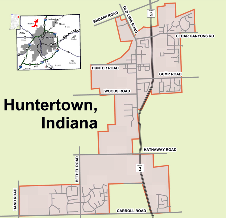
imagesize =
image_caption =
image_

map_caption = Location in the state ofIndiana
mapsize1 =
map_caption1 =
subdivision_type = Country
subdivision_name =United States
area_footnotes =
unit_pref = Imperial
subdivision_type1 = State
subdivision_name1 =Indiana
subdivision_type2 = County
subdivision_name2 = Allen
government_type =
leader_title =
leader_name =
established_date =
area_magnitude = 1 E6
area_total_km2 = 4.2
area_land_km2 = 4.2
area_water_km2 = 0.0
population_as_of = 2006
population_note =
population_total = 2,114
population_density_km2 = 419.5
timezone = EST
utc_offset = -5
timezone_DST = EST
utc_offset_DST = -5
area_total_sq_mi = 1.6
area_land_sq_mi = 1.6
area_water_sq_mi = 0.0
elevation_m = 255
elevation_ft = 837
latd = 41 |latm = 13 |lats = 40 |latNS = N
longd = 85 |longm = 10 |longs = 10 |longEW = W
postal_code_type =ZIP code
postal_code = 46748
area_code = 260
blank_name = FIPS code
blank_info = 18-35266GR|2
blank1_name = GNIS feature ID
blank1_info = 0436630GR|3
footnotes =
website = http://www.huntertown.orgHuntertown is a town in Allen County,
Indiana ,United States . The population was 1,771 at the 2000 census and grew to 2,144 by 2006. [ [http://factfinder.census.gov/servlet/SAFFPopulation?_event=Search&geo_id=01000US&_geoContext=&_street=&_county=huntertown&_cityTown=huntertown&_state=04000US18&_zip=&_lang=en&_sse=on&ActiveGeoDiv=geoSelect&_useEV=&pctxt=fph&pgsl=010&_submenuId=population_0&ds_name=null&_ci_nbr=null&qr_name=null®=null%3Anull&_keyword=&_industry= US Census Factfinder for Huntertown, Indiana] ]Geography
Huntertown is located at coor dms|41|13|40|N|85|10|10|W|city (41.227798, -85.169371)GR|1.
According to the
United States Census Bureau , the town has a total area of 1.6square mile s (4.2km² ), all of it land.Demographics
As of the
census GR|2 of 2000, there were 1,771 people, 663 households, and 501 families residing in the town. Thepopulation density was 1,089.4 people per square mile (419.5/km²). There were 692 housing units at an average density of 425.7/sq mi (163.9/km²). The racial makeup of the town was 97.57% White, 0.68% African American, 0.17% Native American, 0.68% Asian, 0.45% from other races, and 0.45% from two or more races. Hispanic or Latino of any race were 0.96% of the population.There were 663 households out of which 39.4% had children under the age of 18 living with them, 63.8% were married couples living together, 8.7% had a female householder with no husband present, and 24.4% were non-families. 20.7% of all households were made up of individuals and 8.1% had someone living alone who was 65 years of age or older. The average household size was 2.67 and the average family size was 3.10.
In the town the population was spread out with 28.9% under the age of 18, 8.2% from 18 to 24, 32.9% from 25 to 44, 22.0% from 45 to 64, and 8.1% who were 65 years of age or older. The median age was 34 years. For every 100 females there were 95.5 males. For every 100 females age 18 and over, there were 90.8 males.
The median income for a household in the town was $52,250, and the median income for a family was $59,219. Males had a median income of $41,150 versus $28,152 for females. The
per capita income for the town was $21,232. About 3.0% of families and 4.2% of the population were below thepoverty line , including 6.1% of those under age 18 and 6.3% of those age 65 or over.History
Huntertown was originally called "The Opening" because it was a natural forest clearing. It was first settled about 1832. It was located on the Lima Plank Road connecting Lima and Fort Wayne. The Perry Centre Seminary was founded in Huntertown in 1856, only to close five years later when the entire faculty and adult students enlisted in the Union Army. The town was platted in 1869, but not incorporated until 1966. [Allen County - Fort Wayne Historical Society]
Some of the nation's oldest reliable weather observations are from a nineteenth century Huntertown farm. Rapin Andrews began keeping meteorological records on July 17, 1839, and continued until his death 10 years later. His family continued the observations until April 30, 1874. The diary of weather records was presented to the U.S. Weather Bureau (now the
National Weather Service ) in 1934. The record highest temperature was 102°F in July 1846 and the record lowest temperature was -34°F on January 29, 1873. [National Weather Service archives]The town's weekly newspaper, "Northwest News", began operations in the summer of 1997 in the former Huntertown State Bank, site of a 1930s robbery by the
John Dillinger gang. The newspaper's publisher is Robert Allman, who also owns weekly newspapers inChurubusco, Indiana andAlbion, Indiana . ["Northwest News"]Footnotes
External links

Wikimedia Foundation. 2010.