- Moses Gate Country Park
-
Moses Gate Country Park 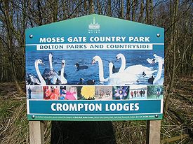
Bolton MBC sign at Crompton LodgesType public park and nature reserve Location Moses Gate, Farnworth, England Coordinates 53°33′10″N 2°22′49″W / 53.552723°N 2.380328°WCoordinates: 53°33′10″N 2°22′49″W / 53.552723°N 2.380328°W Area 300 hectares Created 1975 Operated by Bolton MBC Status open all year Moses Gate Country Park also known as Crompton Lodges (National Grid Ref: SD 749063) is a 300 hectare (750 acre) site situated at Moses Gate in the Croal Irwell Valley 5 km (3 ml) south of Bolton town centre on the A6053 road which connects Farnworth to Little Lever.
Contents
Description
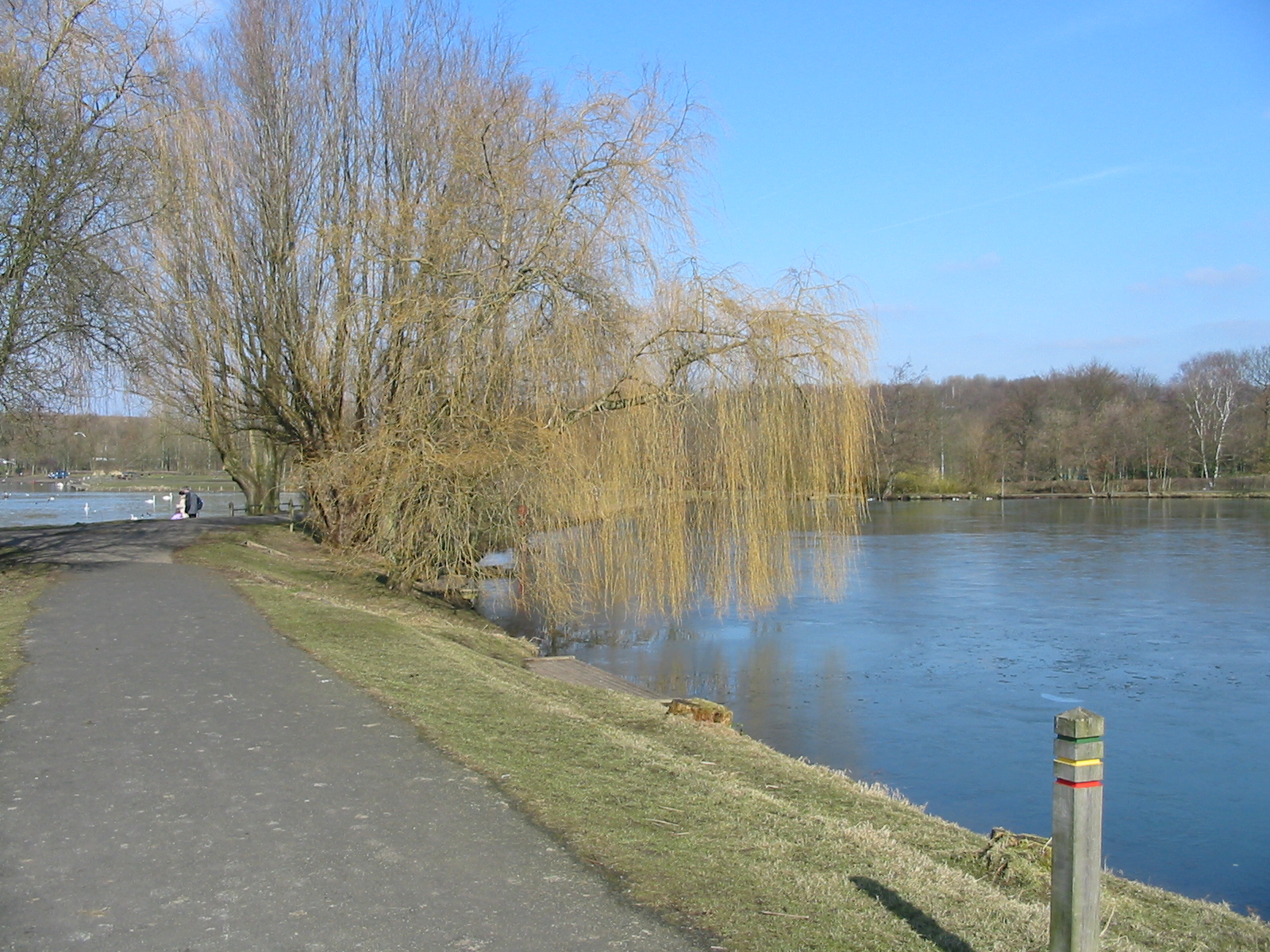
The park runs from the A6053 to Nob End along the banks of the River Croal. At Nob End, the Croal joins the Irwell which then continues for about two miles into Clifton Country Park. The name Moses Gate comes from the joining of two words, one a corruption of the word mosses meaning peaty or marshy lands, and gate is from the Old English gata meaning a way across, so we have the way though the mosses (also as in Kearsley Moss, Clifton Moss, Linnyshaw Moss, etc.).[1][2] The alternate name of Crompton Lodges comes from the lakes which were mill ponds or lodges supplying water to Cromptons Paper Mills. The park lies on the Kingfisher Way[3] which runs for 11 km (6.8 mi) from Clifton Country Park to Jumbles Reservoir, north of Bolton. There are three lodges, one is reserved for fishing, one for water sports such as canoeing and the third is a nature reserve for migratory birds and other wildlife.
To the east of the lodges is one of the few sections of the Manchester, Bolton and Bury Canal that is still in water. The land between is reclaimed from old mine workings, one of which was Farnworth Bridge Collieries. The weir was constructed in the River Croal to provide a water supply for Crompton's Paper Mill. Rock Hall is the visitor centre and the headquarters of the park's rangers.[4] View of the main lodges
History
The area has seen several uses as an industrial site, at Moses Gate, one of the earliest paper mills in Lancashire was built by the Crompton family in Farnworth.[5] The site at Farnworth was influential in the manufacture and the development of papermaking, the first work being started by Robert Crompton (1667–1737). Crompton was the first in a line of men of paper. Thomas Bonsor could well be called the first papermaking tycoon and his mill at Farnworth became a showpiece for the craft, he died on 5 September 1858 and was buried in St. John's churchyard, Farnworth. The first steam weaving mill was opened in 1828 by James Rothwell Barnes, later becoming a spinning mill. At Nob End a chemical works was founded and the whole area is riddled with old coal mine workings from shallow pits to deep shafts which have all now been capped. The mill at Farnworth passed to William James Rideout who continued the tradition of making paper until the great depression of 1883 when the mill closed and paper manufacture ceased.[6] In 1894, the mill was reopened as a bleach works by J.B. Champion but a few years later the mill once again stood empty. The area fell into ruin and it was not until the mill was finally demolished in 1972, that there was interest in the area as a place of recreation. Over the next decade the site was cleared and Rock Hall was transformed from a derelict building into the current visitor centre.
Rock Hall
Rock Hall was built by Thomas Bonsor Compton's father John, who was granted the lease in 1805.[7] John never lived in the house as he died at about the time the house was completed in 1807. Later it was occupied by the managers of the paper mill. On Thomas Bonsor's death the mill passed to his nephew W. J. Rideout, then after his death in 1876, the mills were offered for auction.
 Orchid at Nob End
Nob End
Nob End was designated as a Site of Special Scientific Interest (SSSI) (file designation SD70/2) in 1988, under Section 28 of the Wildlife and Countryside Act, 1981.[8] and as a Local Nature Reserve (LNR) in 2000.[9] The contamination of the land from the old chemical works with waste from the Leblanc process has resulted in an alkaline soil that now supports a variety of plants not found elsewhere in Greater Manchester, including many types of orchid, most notable amongst these are Fragrant orchid Gymnadenia conopsea, the Northern Marsh orchid Dactylorhiza purpurella, the Early Marsh orchid Dactylorhiza incarnata and other species such as Common Broomrape, Twayblade, Blue fleabane and Carline thistle.[10] The reserve covers 8.8 hectares (21 acres).
References
- ^ Billington, W.D., From Affetside to Yarrow: Bolton place names and their history (1982), Ross Anderson Publications (ISBN 0-86360-003-4).
- ^ Greenwood's Map of 1818. URL accessed 3 December 2007.
- ^ "Moses Gate Park". http://www.getoutguide.co.uk/outdoors/outdoors/mosesgate_park.htm. Retrieved 2007-10-15.
- ^ "Bolton MBC Official web site". http://www.bolton.org.uk/mosesgate.html. Retrieved 2007-10-14.
- ^ Bolton MBC. "Farnworth History". http://www.bolton.org.uk/farnworth.html. Retrieved 2007-10-12.
- ^ "Manchester Bury and Bolton Canal". http://www.mbbcanal.demon.co.uk/trail/bolton/rockhall/rockhall.html. Retrieved 2007-10-15.
- ^ "Bolton revisited". Archived from the original on 2007-02-08. http://web.archive.org/web/20070208115128/http://www.boltonrevisited.org.uk/72.html. Retrieved 2007-10-14.
- ^ English Nature. "Nob End SSSI designation document". http://www.english-nature.org.uk/citation/citation_photo/1003648.pdf. Retrieved 2007-10-16.
- ^ "Bolton MBC Nature Reserves". http://www.bolton.gov.uk/portal/page?_pageid=367,134983&_dad=portal92&_schema=PORTAL92. Retrieved 2007-10-14.
- ^ "Wildlife Trust for Lancashire, Manchester and North Merseyside". Archived from the original on 2008-01-21. http://web.archive.org/web/20080121055316/http://www.lancswt.org.uk/Getting+Involved/communityprojects/nob_end.htm. Retrieved 2007-10-14.
General references
- Croal Irwell Regional Park Project (June 2003). Creating a green artery from the centre of Manchester to the West Pennine Moors. http://www.redroseforest.co.uk/publications/pdf/coral.pdf.
External links
- Bolton MBC web site
- Wildlife Trust for Lancashire, Manchester and North Merseyside
- Croal Irwell Regional Park Project
- English Nature website with online searchable directory of all English SSSIs
- Moses Gate Park Flikr Group
Categories:- Geography of Bolton
- Conservation in the United Kingdom
- Sites of Special Scientific Interest in Greater Manchester


Wikimedia Foundation. 2010.