- Cleveland, Minnesota
-
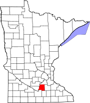
Cleveland, Minnesota — City — Location of Cleveland, Minnesota
Coordinates: 44°19′22″N 93°50′18″W / 44.32278°N 93.83833°W Country United States State Minnesota County Le Sueur Government – Type Mayor - Council – Mayor Richard Walter Area – Total 0.6 sq mi (1.5 km2) – Land 0.6 sq mi (1.5 km2) – Water 0.0 sq mi (0.0 km2) Elevation 1,033 ft (315 m) Population (2010)[1] – Total 719 – Density 1,125.6/sq mi (434.6/km2) Time zone Central (CST) (UTC-6) – Summer (DST) CDT (UTC-5) ZIP code 56017 Area code(s) 507 FIPS code 27-11872[2] GNIS feature ID 0641329[3]  Downtown Cleveland, Minnesota
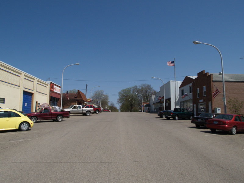
Cleveland is a city in Le Sueur County, Minnesota, United States. The population was 719 at the 2010 census.[1]
Geography
According to the United States Census Bureau, the city has a total area of 0.6 square miles (1.6 km2), all of it land.
Minnesota State Highway 99 serves as a main route in the community.
Demographics
As of the census[2] of 2000, there were 673 people, 252 households, and 177 families residing in the city. The population density was 1,125.6 people per square mile (433.1/km²). There were 259 housing units at an average density of 433.2 per square mile (166.7/km²). The racial makeup of the city was 98.96% White, 0.15% African American, 0.30% Native American, 0.15% Asian, 0.30% from other races, and 0.15% from two or more races. Hispanic or Latino of any race were 1.63% of the population.
There were 252 households out of which 39.7% had children under the age of 18 living with them, 59.9% were married couples living together, 9.1% had a female householder with no husband present, and 29.4% were non-families. 25.0% of all households were made up of individuals and 11.1% had someone living alone who was 65 years of age or older. The average household size was 2.67 and the average family size was 3.25.
In the city the population was spread out with 29.9% under the age of 18, 7.3% from 18 to 24, 27.2% from 25 to 44, 23.9% from 45 to 64, and 11.7% who were 65 years of age or older. The median age was 36 years. For every 100 females there were 97.9 males. For every 100 females age 18 and over, there were 95.9 males.
The median income for a household in the city was $46,458, and the median income for a family was $52,763. Males had a median income of $30,885 versus $24,167 for females. The per capita income for the city was $17,424. About 5.2% of families and 7.4% of the population were below the poverty line, including 11.3% of those under age 18 and 4.8% of those age 65 or over.
References
- ^ a b "2010 Census Redistricting Data (Public Law 94-171) Summary File". American FactFinder. United States Census Bureau. http://factfinder2.census.gov/faces/tableservices/jsf/pages/productview.xhtml?pid=DEC_10_PL_GCTPL2.ST13&prodType=table. Retrieved 27 April 2011.
- ^ a b "American FactFinder". United States Census Bureau. http://factfinder.census.gov. Retrieved 2008-01-31.
- ^ "US Board on Geographic Names". United States Geological Survey. 2007-10-25. http://geonames.usgs.gov. Retrieved 2008-01-31.
Municipalities and communities of Le Sueur County, Minnesota Cities Cleveland | Elysian‡ | Heidelberg | Kasota | Le Center | Le Sueur‡ | Kilkenny | Mankato‡ | Montgomery | New Prague‡ | Waterville
Townships Cleveland | Cordova | Derrynane | Elysian | Kasota | Kilkenny | Lanesburgh | Lexington | Montgomery | Ottawa | Sharon | Tyrone | Washington | Waterville
Unincorporated
communityCordova | Greenland | Lexington | Ottawa | St. Henry | St. Thomas | Union Hill‡
Footnotes ‡This populated place also has portions in an adjacent county or counties
Coordinates: 44°19′32″N 93°50′16″W / 44.32556°N 93.83778°W
Categories:- Cities in Minnesota
- Populated places in Le Sueur County, Minnesota


Wikimedia Foundation. 2010.