- Auburn, New Hampshire
Infobox Settlement
official_name = Auburn, New Hampshire
nickname =
motto =
image_
imagesize =
image_caption =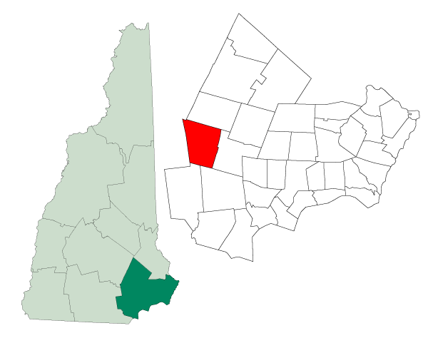
mapsize = 250px
map_caption = Location in Rockingham County,New Hampshire
settlement_type = Town
mapsize1 =
map_caption1 =
subdivision_type = Country
subdivision_name =United States
subdivision_type1 = State
subdivision_name1 =New Hampshire
subdivision_type2 = County
subdivision_name2 = Rockingham
government_type =
leader_title =Board of Selectmen
leader_name =
established_title = Incorporated
established_date = 1845
area_magnitude = 1 E8
area_total_km2 = 74.4
area_total_sq_mi = 28.7
area_land_km2 = 65.3
area_land_sq_mi = 25.2
area_water_km2 = 9.1
area_water_sq_mi = 3.5
area_water_percent = 12.19
population_as_of = 2007
population_note =
population_total = 5,157
population_density_km2 = 79.0
population_density_sq_mi = 204.6
timezone = Eastern
utc_offset = -5
timezone_DST = Eastern
utc_offset_DST = -4
latd = 43 |latm = 00 |lats = 16 |latNS = N
longd = 71 |longm = 20 |longs = 54 |longEW = W
elevation_m = 77
elevation_ft = 253
website = http://www.auburnnh.us/
postal_code_type =ZIP code
postal_code = 03032
area_code = 603
blank_name = FIPS code
blank_info = 33-02820
blank1_name = GNIS feature ID
blank1_info = 0873536
footnotes =Auburn is a town in Rockingham County,
New Hampshire ,United States . The population was 4,682 at the 2000 census.History
Auburn was incorporated in 1845. Once a part of Chester, it was known as Chester Woods, Chester West Parish, Long Meadow, and then Auburn. As with Auburn,
Maine , Auburn,Massachusetts and Auburn,New York , the name is fromOliver Goldsmith 's popular 18th century poem, "The Deserted Village", which begins::Sweet Auburn! loveliest village of the plain, :Where health and plenty cheered the labouring swain :Where smiling spring its earliest visit paid, :And parting summer's lingering blooms delayed
Geography
According to the
United States Census Bureau , the town has a total area of convert|28.7|sqmi|km2, of which convert|25.2|sqmi|km2|abbr=on is land and convert|3.5|sqmi|km2|abbr=on (12.19%) is water. Three hills, all overlookingMassabesic Lake , can lay potential claim to being Auburn's highest point: Mount Miner, at convert|582|ft|m abovesea level , located north of the lake; Mine Hill, greater than convert|580|ft|m|abbr=on, above the east shore; and Mount Misery, greater than 580 feet, to the southeast. Auburn lies fully within theMerrimack River watershed.cite book |title=Water Use in New Hampshire: An Activities Guide for Teachers |url=http://nh.water.usgs.gov/Publications/nh.intro.html |last=Foster |first=Debra H. |coauthors=Batorfalvy, Tatianna N.; and Medalie, Laura |publisher=U.S. Department of the Interior and U.S. Geological Survey |year=1995]Demographics
As of the
census GR|2 of 2000, there were 4,682 people, 1,580 households, and 1,322 families residing in the town. Thepopulation density was 185.7 people per square mile (71.7/km²). There were 1,622 housing units at an average density of 64.3/sq mi (24.8/km²). The racial makeup of the town was 98.29% White, 0.21% African American, 0.23% Native American, 0.41% Asian, 0.23% from other races, and 0.62% from two or more races. Hispanic or Latino of any race were 0.94% of the population.There were 1,580 households out of which 44.4% had children under the age of 18 living with them, 75.1% were married couples living together, 5.2% had a female householder with no husband present, and 16.3% were non-families. 11.8% of all households were made up of individuals and 3.3% had someone living alone who was 65 years of age or older. The average household size was 2.96 and the average family size was 3.22.
In the town the population was spread out with 28.9% under the age of 18, 6.2% from 18 to 24, 33.0% from 25 to 44, 25.8% from 45 to 64, and 6.1% who were 65 years of age or older. The median age was 37 years. For every 100 females there were 103.6 males. For every 100 females age 18 and over, there were 103.2 males.
The median income for a household in the town was $70,774, and the median income for a family was $72,578. Males had a median income of $45,000 versus $33,365 for females. The
per capita income for the town was $28,405. About 1.6% of families and 1.8% of the population were below thepoverty line , including 0.7% of those under age 18 and 11.2% of those age 65 or over.Education
Grade K-8:
* [http://www.auburnvillageschool.com/ Auburn Village School] Grade 9-12:
*Manchester Memorial High School References
External links
* [http://www.nh.gov/nhes/elmi/htmlprofiles/auburn.html New Hampshire Economic and Labor Market Information Bureau Profile]
* [http://www.auburnfire.org Auburn Fire Department]
Wikimedia Foundation. 2010.