- Minerva, New York
-
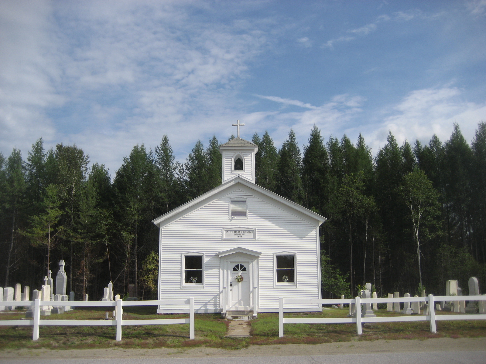
Minerva — Town — Town of Minerva St. Mary's Church at Irishtown, a hamlet in Minerva. Location within the state of New York
 Minerva
Coordinates: 43°50′29″N 74°2′15″W / 43.84139°N 74.0375°W Country United States State New York County Essex Government - Type Town Council - Town Supervisor Sue Montgomery-Corey (D) - Town Council Members' ListArea - Total 162.1 sq mi (419.9 km2) - Land 158.6 sq mi (410.9 km2) - Water 3.5 sq mi (9.0 km2) Elevation 1,499 ft (457 m) Population (2000) - Total 796 - Density 5.0/sq mi (1.9/km2) Time zone Eastern (EST) (UTC-5) - Summer (DST) EDT (UTC-4) ZIP code 12851 Area code(s) 518 FIPS code 36-47669 GNIS feature ID 0979224 Minerva is a town in Essex County, New York, United States. The population was 796 at the 2000 census. The town is named after Minerva, goddess of wisdom.
The Town of Minerva is located in the southwest corner of the county. It is 39 miles (63 km) north-northwest of Queensbury, NY, 60 miles (97 km) from Burlington, VT,[1] 66 miles (106 km) south of Plattsburgh, NY,[2] 83 miles (134 km) north of Albany, NY, 118 (190 km) miles south of Montreal, Quebec[3]
Contents
History
The town was first settled around 1804 in the southeast part of Minerva, which has remained the center of the town's population.
The town was formed from part of the Town of Schroon in 1817. Part of Minerva used to be part of the Town of Newcomb until 1828. In 1870, Minerva was increased with territory taken from the Town of Schroon.
Notable residents
American Revolutionary War soldier Ebenezer West and his five sons founded the town.[4] Winslow Homer, painter, was a summer visitor for several years.[citation needed] Theodore Roosevelt had a summer home here.[citation needed] Francis Donnelly was the nation's longest serving Town Supervisor; he served from 1934 until his death in 1980.[5]
Geography
According to the United States Census Bureau, the town has a total area of 162.1 square miles (420 km2), of which, 158.6 square miles (411 km2) of it is land and 3.5 square miles (9.1 km2) of it (2.15%) is water.
The northern part of the Hudson River forms part of the western boundary of the town. The west town line is the border of Hamilton County and the south town line is the border of Warren County. The Indian River and Boreas River flow into the Hudson in the southwest part of Minerva.
The highly irregular shape of the town is an irregular concave polygonal figure.
New York State Route 28N, the Roosevelt Marcy Memorial Highway, is a north-south highway in Minerva and is the only road of significant note in the town.
Demographics
As of the census[6] of 2000, there were 796 people, 321 households, and 225 families residing in the town. The population density was 5.0 people per square mile (1.9/km²). There were 648 housing units at an average density of 4.1 per square mile (1.6/km²). The racial makeup of the town was 96.86% White, 0.25% African American, 0.25% Native American, 0.13% Asian, and 2.51% from two or more races. Hispanic or Latino of any race were 0.13% of the population.
There were 321 households out of which 27.7% had children under the age of 18 living with them, 57.0% were married couples living together, 8.4% had a female householder with no husband present, and 29.9% were non-families. 24.0% of all households were made up of individuals and 10.3% had someone living alone who was 65 years of age or older. The average household size was 2.48 and the average family size was 2.95.
In the town the population was spread out with 23.1% under the age of 18, 5.8% from 18 to 24, 25.8% from 25 to 44, 27.1% from 45 to 64, and 18.2% who were 65 years of age or older. The median age was 42 years. For every 100 females there were 110.6 males. For every 100 females age 18 and over, there were 111.8 males.
The median income for a household in the town was $30,903, and the median income for a family was $37,500. Males had a median income of $28,523 versus $19,688 for females. The per capita income for the town was $15,531. About 11.3% of families and 13.6% of the population were below the poverty line, including 16.4% of those under age 18 and 14.2% of those age 65 or over.
Communities and locations in Minerva
- Alden Lair – A location near the north town line on NY-28N.
- Lake Balfour – A lake south of Alden Lair.
- Camps Baco and Che-Na-Wah-- brother/sister camps located on Lake Balfour in the summer
- Boreas River – A hamlet in the northeast corner of the town on Route 2.
- Chain Lakes – A number of connected lakes at the west town line.
- Hewitt Pond – A lake east of Alden Lair.
- Irishtown – A hamlet on County Road 24.
- Leonardsville--A hamlet due east of Minerva on the Trout Brook Rd.
- Loch Muller--A hamlet northeast of Minerva.
- Minerva – The hamlet of Minerva is in the south part of the town on NY-28N. It is primarily a resort village for tourists.
- Minerva Lake – A small artificial lake east of Minerva village, formed by damming Jones Brook around 1932.
- Mink Lake – A small lake near the south town line.
- Moose Pond – A small lake in the northwest part of Minerva.
- Moose Pond Club – A hamlet in the northwestern part of the town.
- Morse Corners – A former community in Minerva, near Minerva village.
- Northwoods Club – A hamlet in the southwestern part of the town by Mink Lake.
- Olmstedville – A hamlet southeast of Minerva village on County Road 29. Minerva Central School and station of Minerva Fire & Rescue are located there.
- Pudding Hollow – A hamlet northwest of Minerva village on NY-28N.
- Stillwater – A hamlet southeast of Moose Pond Club.
External links
References
- ^ Wolfram Alpha, distance from Minerva, NY to Burlington, VT
- ^ Wolfram Alpha, distance from Minerva, NY to Plattsburgh, NY
- ^ Wolfram Alpha, Minerva, NY.
- ^ http://www.irishtown.org/irishtown.html
- ^ "Irishtown, Olmstedville, Minerva, NY, Minerva Lake - Celtic - Irish History". http://www.irishtown.org/society.html.
- ^ "American FactFinder". United States Census Bureau. http://factfinder.census.gov. Retrieved 2008-01-31.
Coordinates: 43°47′29″N 73°59′03″W / 43.79139°N 73.98417°W
Municipalities and communities of Essex County, New York County seat: Elizabethtown Towns Chesterfield | Crown Point | Elizabethtown | Essex | Jay | Keene | Lewis | Minerva | Moriah | Newcomb | North Elba | North Hudson | Schroon | St. Armand | Ticonderoga | Westport | Willsboro | Wilmington

Villages Keeseville‡ | Lake Placid | Port Henry | Saranac Lake‡
CDPs Other
hamletsFootnotes ‡This populated place also has portions in an adjacent county or counties
Categories:- Towns in New York
- Populated places in Essex County, New York


Wikimedia Foundation. 2010.