- Santa Clara, New York
Infobox Settlement
official_name = Santa Clara, New York
settlement_type =Town
nickname =
motto =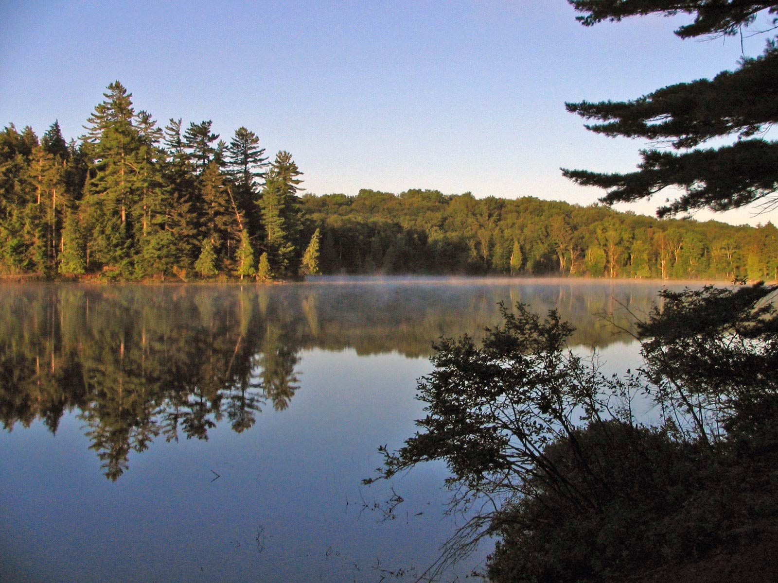
imagesize =
image_caption = Long Pond in theSaint Regis Canoe Area
image_|pushpin_
pushpin_label_position =
pushpin_map_caption =Location within the state of New York's Adirondack Park
pushpin_mapsize =
mapsize =
map_caption =
mapsize1 =
map_caption1 =subdivision_type = Country
subdivision_name =United States
subdivision_type1 = State
subdivision_name1 =New York
subdivision_type2 = County
subdivision_name2 = Franklin
government_footnotes =
government_type =
leader_title =
leader_name =
leader_title1 =
leader_name1 =
established_title =
established_date =unit_pref = Imperial
area_footnotes =
area_magnitude =
area_total_km2 = 496.5
area_land_km2 = 453.3
area_water_km2 = 43.2
area_total_sq_mi = 191.7
area_land_sq_mi = 175.0
area_water_sq_mi = 16.7population_as_of = 2000
population_footnotes =
population_total = 395
population_density_km2 = 0.9
population_density_sq_mi = 2.3timezone = Eastern (EST)
utc_offset = -5
timezone_DST = EDT
utc_offset_DST = -4
elevation_footnotes =
elevation_m = 484
elevation_ft = 1588
latd = 44 |latm = 24 |lats = 42 |latNS = N
longd = 74 |longm = 21 |longs = 57 |longEW = Wpostal_code_type =
ZIP code
postal_code = 12980
area_code = 518
blank_name = FIPS code
blank_info = 36-65178
blank1_name = GNIS feature ID
blank1_info = 0979459
website =
footnotes =Santa Clara is a
town in Franklin County,New York ,United States . The population was 395 at the 2000 census. The name was derived from the wife of an early town businessman, John Hurd.The Town of Santa Clara is in the southwest part of the county and is southwest of the Village of Malone The town is within the
Adirondack Park . It includes the 58 ponds of theSaint Regis Canoe Area , presently the only CanoeWilderness Area in the park, as well as most of convert|4700|acre|km2|sing=onUpper Saranac Lake .History
The Town of Santa Clara was formed from part of the Town of Brandon in 1888. An addition from Brandon was added to Santa Clara in 1896.
William Rockefeller began buying property in the town around 1896 in order of establish an estate, used by members of his family during the summer.Geography
According to the
United States Census Bureau , the town has a total area of 191.7square mile s (496.6km² ), of which, 175.0 square miles (453.3 km²) of it is land and 16.7 square miles (43.2 km²) of it (8.71%) is water.Santa Clara is the second largest town in the county. The south part of the town is dominated by numerous
lake s.New York State Route 458 is a north-south highway in Santa Clara.New York State Route 30 crosses the south part of the town.The
St. Regis River flows out the west town line.Demographics
As of the
census GR|2 of 2000, there were 395 people, 155 households, and 119 families residing in the town. Thepopulation density was 2.3 people per square mile (0.9/km²). There were 953 housing units at an average density of 5.4/sq mi (2.1/km²). The racial makeup of the town was 96.20% White, 0.25% African American, 1.77% Native American, 0.25% Asian, 0.76% from other races, and 0.76% from two or more races.There were 155 households out of which 31.6% had children under the age of 18 living with them, 63.2% were married couples living together, 9.0% had a female householder with no husband present, and 22.6% were non-families. 20.0% of all households were made up of individuals and 8.4% had someone living alone who was 65 years of age or older. The average household size was 2.55 and the average family size was 2.90.
In the town the population was spread out with 25.1% under the age of 18, 4.3% from 18 to 24, 23.5% from 25 to 44, 31.1% from 45 to 64, and 15.9% who were 65 years of age or older. The median age was 43 years. For every 100 females there were 110.1 males. For every 100 females age 18 and over, there were 105.6 males.
The median income for a household in the town was $42,083, and the median income for a family was $45,750. Males had a median income of $30,000 versus $24,688 for females. The
per capita income for the town was $19,683. About 8.3% of families and 7.4% of the population were below thepoverty line , including 10.5% of those under age 18 and 6.6% of those age 65 or over.Communities and locations in Santa Clara
*Bay Pond -- A hamlet in the south-central part of the town. It was a former Rockefeller summer home.
*Brandon -- A former community, located north of Bay Pond. It became part of the Rockefeller estate and its buildings were removed.
*Derrick -- A hamlet west of Saranac Inn.
*Everton -- A former community abandoned after the forests had been stripped.
*Floodwood -- A hamlet west of Saranac Inn near the west town line.
*Kildare -- A hamlet west of Saranac Inn near the west town line.
*Madawaska -- A hamlet near the east town line.
*Madawaska Pond -- A lake near the center of the town.
*Middle Saranac Lake -- Part of the lake is in the southeast corner of the town.
*Meno -- A location northeast of Madawaska.
*TheSaint Regis Canoe Area -- A convert|19000|acre|km2|sing=on wilderness area with 58 ponds (no motorized vehicles are allowed).
*Santa Clara -- the hamlet of Santa Clara is near the west town line in the northern part of the town on NY-458.
*Saranac Inn (also "Upper Saranac") -- A hamlet in the south part of the town.
*Saranac Inn Station -- A location east of Saranac Inn.
*Spring Cove -- A hamlet near the west town line, south of Santa Clara village.
*Upper Saranac Lake -- Most of the lake is in the south part of the town.
*Weller Pond -- A large pond in the southern part of the town.References
External links
* [http://saintregis.org/Town%20of%20Santa%20Clara.htm Town of Santa Clara, NY]
* [http://history.rays-place.com/ny/santa-clara-ny.htm Early Santa Clara history]

Wikimedia Foundation. 2010.