- Mixersville, Indiana
-
Mixersville — Town — 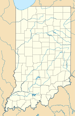
 Mixersville
Coordinates: 39°29′18″N 84°49′30″W / 39.48833°N 84.825°WCoordinates: 39°29′18″N 84°49′30″W / 39.48833°N 84.825°W Country United States State Indiana County Franklin Township Bath Elevation 1,001 ft (305 m) ZIP code 47010 FIPS code 18-50004[1] GNIS feature ID 439301[2] Mixersville is an unincorporated town in Bath Township, Franklin County, Indiana.
Geography
Mixersville is located at 39°29′18″N 84°49′30″W / 39.48833°N 84.825°W.
References
- ^ "American FactFinder". United States Census Bureau. http://factfinder.census.gov. Retrieved 2008-01-31.
- ^ "Mixersville, Indiana". Geographic Names Information System, U.S. Geological Survey. http://geonames.usgs.gov/pls/gnispublic/f?p=gnispq:3:::NO::P3_FID:439301. Retrieved 2009-10-17.
Municipalities and communities of Franklin County, Indiana City 
Towns Brookville | Cedar Grove | Laurel | Mount Carmel | Oldenburg
Townships Bath | Blooming Grove | Brookville | Butler | Fairfield | Highland | Laurel | Metamora | Posey | Ray | Salt Creek | Springfield | Whitewater
Unincorporated
communitiesAndersonville | Bath | Blooming Grove | Buena Vista | Drewersburg | Enochsburg | Hamburg | Highland Center | Klemmes Corner | Lake View | Metamora | Midway | Mixersville | Mound Haven | New Fairfield | New Trenton | Oak Forest | Oak Tree Crossroads | Old Bath | Palestine | Peoria | Peppertown | Raymond | Rockdale | Saint Peter | Scipio | Sharptown | South Gate | Stavetown | Whitcomb | Youngs Corner
Footnotes ‡This populated place also has portions in an adjacent county or counties
Categories:- Populated places in Franklin County, Indiana
- Unincorporated communities in Indiana
- Southern Indiana geography stubs

Wikimedia Foundation. 2010.