- Tillson, New York
Infobox Settlement
official_name = Tillson, New York
settlement_type = CDP
nickname =
motto =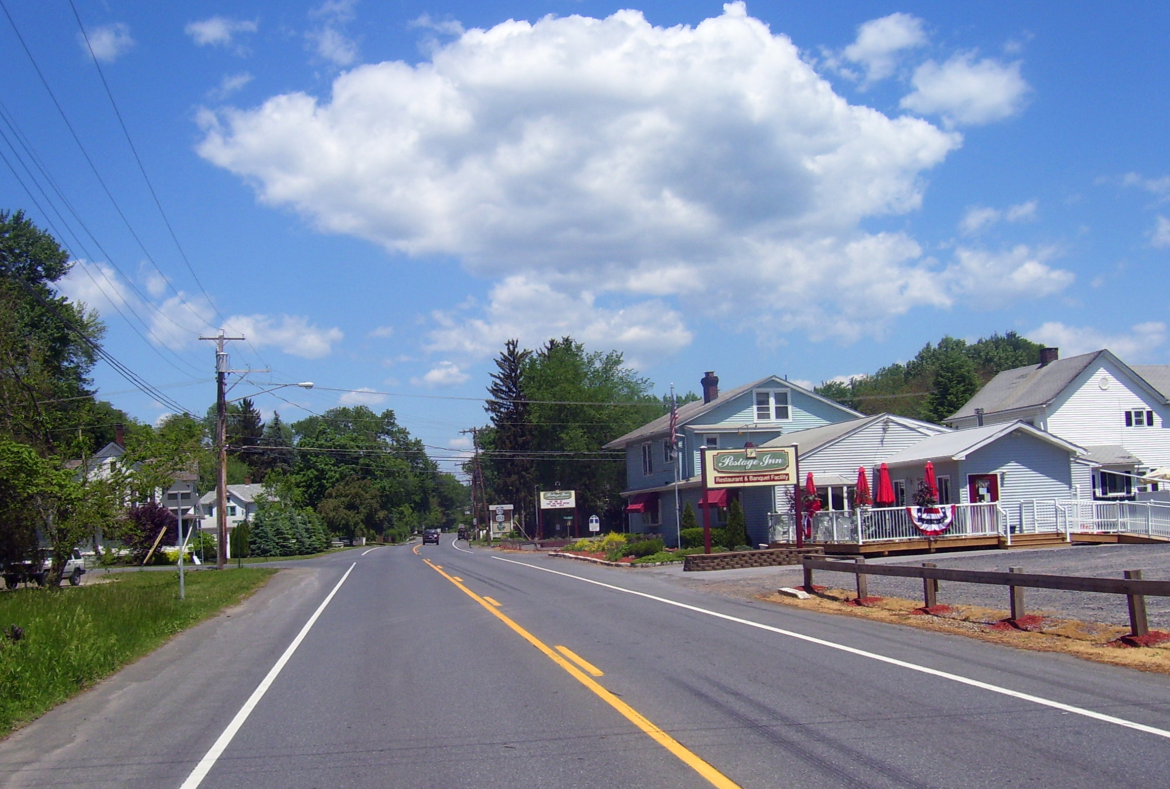
imagesize = 300px
image_caption = Tillson, looking north along the main highway
image_|pushpin_
pushpin_label_position =
pushpin_map_caption =Location within the state of New York
pushpin_mapsize =
mapsize =
map_caption =
mapsize1 =
map_caption1 =subdivision_type = Country
subdivision_name =United States
subdivision_type1 = State
subdivision_name1 =New York
subdivision_type2 = County
subdivision_name2 = Ulster
government_footnotes =
government_type =
leader_title =
leader_name =
leader_title1 =
leader_name1 =
established_title =
established_date =area_footnotes =
area_magnitude =
area_total_km2 = 6.1
area_land_km2 = 6.0
area_water_km2 = 0.1
area_total_sq_mi = 2.3
area_land_sq_mi = 2.3
area_water_sq_mi = 0.0population_as_of = 2000
population_footnotes =
population_total = 1709
population_density_km2 = 285.1
population_density_sq_mi = 738.4timezone = Eastern (EST)
utc_offset = -5
timezone_DST = EDT
utc_offset_DST = -4
elevation_footnotes =
elevation_m = 71
elevation_ft = 233
latd = 41 |latm = 49 |lats = 52 |latNS = N
longd = 74 |longm = 4 |longs = 19 |longEW = Wpostal_code_type =
ZIP code
postal_code = 12486
area_code = 845
blank_name = FIPS code
blank_info = 36-73902
blank1_name = GNIS feature ID
blank1_info = 0967526
website =
footnotes =Tillson is a hamlet (and
census-designated place ) in Ulster County,New York ,United States . The population was 1,709 at the 2000 census.Tillson is in the Town of Rosendale, along routes 32 and 213.
Geography
Tillson is located at coor dms|41|49|52|N|74|4|19|W|city (41.831082, -74.072072)GR|1.
According to the
United States Census Bureau , the CDP has a total area of 2.3square mile s (6.1km² ), of which, 2.3 square miles (6.0 km²) of it is land and 0.04 square miles (0.1 km²) of it (1.28%) is water.Demographics
As of the
census GR|2 of 2000, there were 1,709 people, 629 households, and 452 families residing in the CDP. Thepopulation density was 738.4 per square mile (285.6/km²). There were 676 housing units at an average density of 292.1/sq mi (113.0/km²). The racial makeup of the CDP was 96.96% White, 1.05% African American, 0.29% Native American, 0.23% Asian, 0.06% from other races, and 1.40% from two or more races. Hispanic or Latino of any race were 1.93% of the population.There were 629 households out of which 37.4% had children under the age of 18 living with them, 58.7% were married couples living together, 9.5% had a female householder with no husband present, and 28.0% were non-families. 20.0% of all households were made up of individuals and 8.7% had someone living alone who was 65 years of age or older. The average household size was 2.72 and the average family size was 3.16.
In the CDP the population was spread out with 28.8% under the age of 18, 5.4% from 18 to 24, 33.0% from 25 to 44, 21.2% from 45 to 64, and 11.6% who were 65 years of age or older. The median age was 36 years. For every 100 females there were 95.5 males. For every 100 females age 18 and over, there were 91.4 males.
The median income for a household in the CDP was $47,083, and the median income for a family was $51,375. Males had a median income of $38,696 versus $27,298 for females. The
per capita income for the CDP was $19,413. About 7.1% of families and 14.5% of the population were below thepoverty line , including 26.6% of those under age 18 and 6.3% of those age 65 or over.References
External links

Wikimedia Foundation. 2010.