- Courvières
-
Courvières

 CourvièresLocation within Franche-Comté region
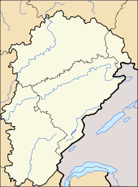 Courvières
Administration Country France Region Franche-Comté Department Doubs Arrondissement Pontarlier Canton Levier Intercommunality Plateau de Frasne et du Val du Drugeon Mayor Dominique Delacroix
(2008–2014)Statistics Elevation 802–870 m (2,631–2,850 ft) Land area1 10.94 km2 (4.22 sq mi) Population2 244 (2008) - Density 22 /km2 (57 /sq mi) INSEE/Postal code 25176/ 25560 1 French Land Register data, which excludes lakes, ponds, glaciers > 1 km² (0.386 sq mi or 247 acres) and river estuaries. 2 Population without double counting: residents of multiple communes (e.g., students and military personnel) only counted once. Coordinates: 46°52′N 6°07′E / 46.87°N 6.11°E
Courvières is a commune in the Doubs department in the Franche-Comté region in eastern France.
Population
Historical population of Courvières 1962 1968 1975 1982 1990 1999 2008 192 215 182 194 233 266 244 See also
References
Categories:- Communes of Doubs
- Doubs geography stubs


Wikimedia Foundation. 2010.