- Murlough Nature Reserve
-
Coordinates: 54°14′42″N 5°50′53″W / 54.245°N 5.848°W
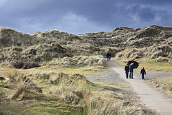 Murlough Nature Reserve, February 2010
Murlough Nature Reserve lies on the coast of County Down in Northern Ireland, situated close to Newcastle. It offers spectacular views of Slieve Donard, the highest peak in the Mourne Mountains and Dundrum Bay. Its 6000-year old sand dune system has been managed by the National Trust since 1967, when it became Ireland's first nature reserve.[1] Grid ref: J414351.[2]
Contents
Features
At 697 acres[2], it is the best and most extensive example of dune heath within Ireland, with a network of paths and boardwalks through the dunes.[1] It is an important wintering site for many species of bird, including thrushes, Fieldfare and Redwing, which feed off the Sea-buckthorn's orange berries. Shorehauling Grey Seal and Common Seals are also common in the area. Between 50 and 130 common and grey seals regularly use the area for moulting, resting and feeding.[3] Rare plants local to the site are pyramidal orchid and carline thistle. Many rare and beautiful butterflies occupy the reserve. One of 22 butterfly species, the Marsh Fritillary, is of European importance. It also has access to one of the finest beaches in County Down.[1]
Murlough makes up one fifth of all dune heathland in the British Isles, but remains under threat from the encroachment of scrub vegetation such as bracken and gorse. In 1999 the National Trust established the South Down Heathland project, a five-year programme to protect the habitat. It has been designated an Area of Special Scientific Interest and a Special Area of Conservation.[2]
History
The area has evidence of human habitation from Neolithic times, through the Bronze Age to the present day.[1] In the 12th century a rabbit warren was established on the site by the Normans for their meat and pelts. This had a major influence on the development of the heath and grassland found today. A particularly stormy period in the 13th and 14th centuries resulted in a huge movement of sand which led to the unusually high dunes also found today.[2]
Gallery
-
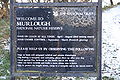
Sign board, January 2010
-

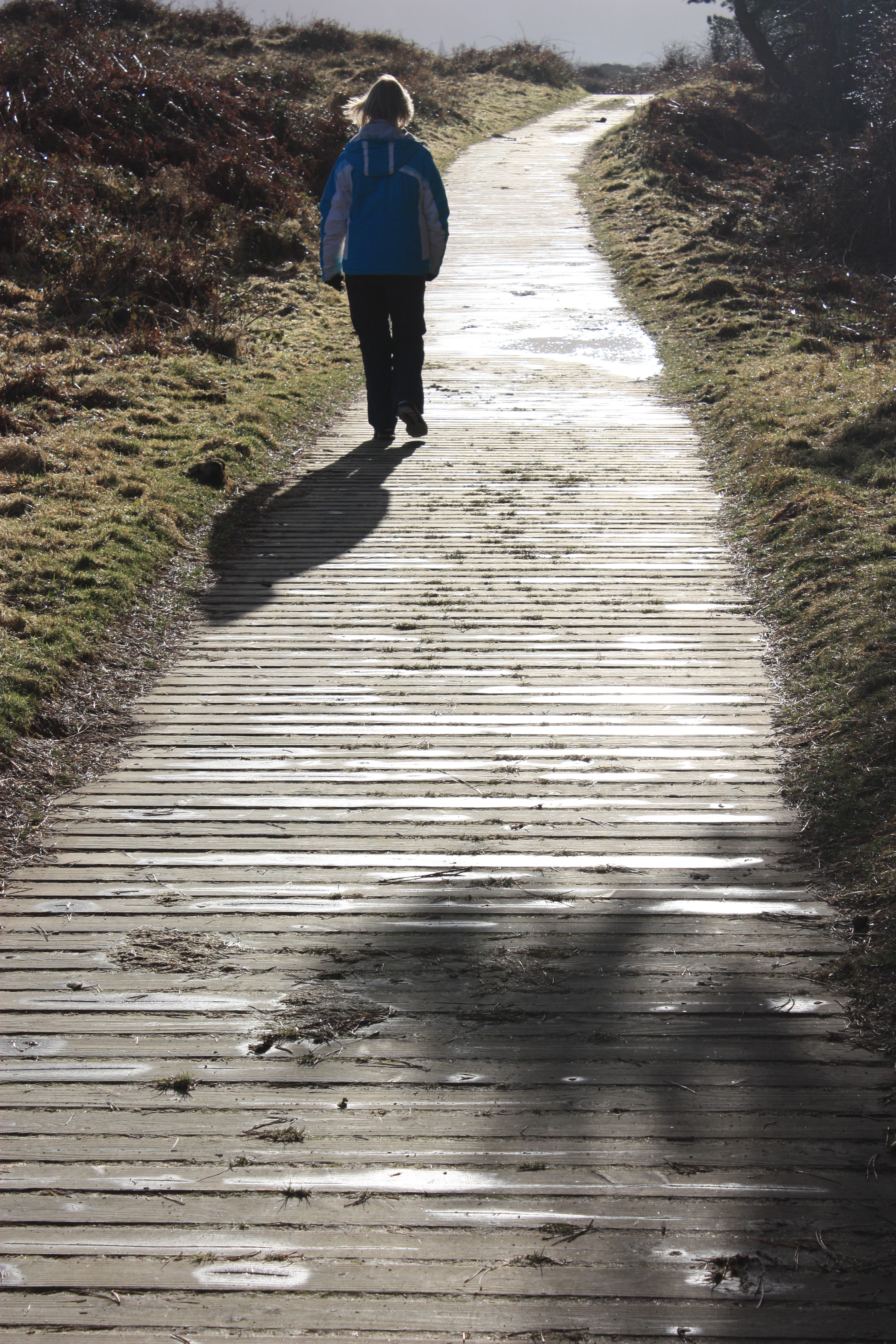
Walkway, February 2010
-

Gorse burning, February 2010
References
- ^ a b c d "Murlough National Nature Reserve". Discover Northern Ireland. http://www.discovernorthernireland.com/Murlough-National-Nature-Reserve-Dundrum-Newcastle-P3004. Retrieved 2008-12-22.
- ^ a b c d "Murlough National Nature Reserve". The Mourne Mountains. http://www.mournemountains.com/murloughbay.htm. Retrieved 2008-12-22.
- ^ "Murlough National Nature Reserve". National Trust. http://www.nationaltrust.org.uk/main/w-global/w-localtoyou/w-northernireland/w-northernireland-countryside_environment/w-northernireland-places_visit-coast/w-northernireland-places_visit-coast-down.htm#murl. Retrieved 2008-12-22.
External links
- Virtual tour of Murlough Nature Reserve - Virtual Visit Northern Ireland
National museums Northern Ireland Environment Agency Ballycopeland Windmill · Bellaghy Bawn · Carrickfergus Castle · Castle Archdale Country Park · Derry City Walls · Devenish Monastic Site · Dundrum Castle · Dunluce Castle · Greencastle · Grey Abbey · Harry Avery's and Newtownstewart Castle · Hillsborough Courthouse · Inch Abbey · Jordan's Castle · Monuments and Buildings Record · Navan Fort · Nendrum Monastic Site · Tullaghoge · Tully CastleNational Trust Ardress House · The Argory · Carrick-a-Rede Rope Bridge · Castle Coole · Castle Ward · Crom Estate · Crown Liquor Saloon · Derrymore House · Downhill Estate (Mussenden Temple) · Florence Court · Giant's Causeway · Gray's Printing Press · Hezlett House · Mount Stewart · Murlough Nature Reserve · Patterson's Spade Mill · Rowallane Garden · Springhill House · Wellbrook Beetling MillOther museums and galleries Categories:- Geography of County Down
- Nature reserves in Northern Ireland
- Protected areas of County Down
- National Trust properties in Northern Ireland
-


Wikimedia Foundation. 2010.