- McLaughlin, South Dakota
-
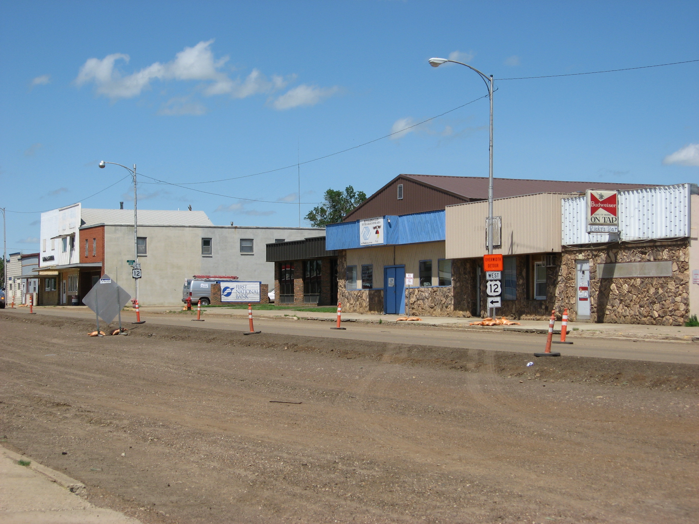
McLaughlin, South Dakota — City — Main Street in McLaughlin
Nickname(s): Home of the Midgets Location in Corson County and the state of South Dakota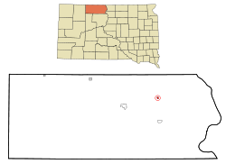
Coordinates: 45°48′47″N 100°48′41″W / 45.81306°N 100.81139°WCoordinates: 45°48′47″N 100°48′41″W / 45.81306°N 100.81139°W Country United States State South Dakota County Corson Incorporated 1909[1] Area – Total 0.4 sq mi (1.1 km2) – Land 0.4 sq mi (1.1 km2) – Water 0 sq mi (0 km2) Elevation 2,001 ft (610 m) Population (2010) – Total 663 – Density 1,657.5/sq mi (602.7/km2) Time zone Mountain (MST) (UTC-7) – Summer (DST) MDT (UTC-6) ZIP code 57642 Area code(s) 605 FIPS code 46-40020[2] GNIS feature ID 1256396[3] McLaughlin is a city in Corson County, South Dakota, United States. The population was 663 at the 2010 census. It is the largest city on the Standing Rock Indian Reservation.
Contents
History
The town is named after US Indian Service Agent James McLaughlin who is buried there.
Geography
McLaughlin is located at 45°48′47″N 100°48′41″W / 45.81306°N 100.81139°W (45.813029, -100.811447).[4]
According to the United States Census Bureau, the city has a total area of 0.4 square miles (1.0 km2), all of it land.
McLaughlin has been assigned the ZIP code 57642 and the FIPS place code 40020.
Demographics
As of the census[2] of 2000, there were 775 people, 268 households, and 181 families residing in the city. The population density was 1,835.1 people per square mile (712.5/km²). There were 291 housing units at an average density of 689.1 per square mile (267.5/km²). The racial makeup of the city was 41.29% White, 0.13% African American, 55.74% Native American, 0.13% from other races, and 2.71% from two or more races. Hispanic or Latino of any race were 4.77% of the population.
There were 268 households out of which 33.6% had children under the age of 18 living with them, 40.7% were married couples living together, 20.9% had a female householder with no husband present, and 32.1% were non-families. 27.6% of all households were made up of individuals and 11.9% had someone living alone who was 65 years of age or older. The average household size was 2.89 and the average family size was 3.48.
In the city the population was spread out with 33.3% under the age of 18, 9.7% from 18 to 24, 25.9% from 25 to 44, 18.5% from 45 to 64, and 12.6% who were 65 years of age or older. The median age was 30 years. For every 100 females there were 93.3 males. For every 100 females age 18 and over, there were 86.0 males.
The median income for a household in the city was $22,500, and the median income for a family was $31,111. Males had a median income of $22,500 versus $18,229 for females. The per capita income for the city was $10,682. About 15.8% of families and 25.8% of the population were below the poverty line, including 34.8% of those under age 18 and 30.0% of those age 65 or over.
References
- ^ "SD Towns". South Dakota State Historical Society. http://history.sd.gov/Archives/forms/exhibits/SD%20Towns.pdf. Retrieved 2010-02-14.
- ^ a b "American FactFinder". United States Census Bureau. http://factfinder.census.gov. Retrieved 2008-01-31.
- ^ "US Board on Geographic Names". United States Geological Survey. 2007-10-25. http://geonames.usgs.gov. Retrieved 2008-01-31.
- ^ "US Gazetteer files: 2010, 2000, and 1990". United States Census Bureau. 2011-02-12. http://www.census.gov/geo/www/gazetteer/gazette.html. Retrieved 2011-04-23.
Municipalities and communities of Corson County, South Dakota Cities McIntosh | McLaughlin

Town CDPs Unincorporated
communitiesKeldron | Trail City | Wakpala | Walker | Watauga
Indian reservation Footnotes ‡This populated place also has portions in an adjacent county or counties
Categories:- Cities in South Dakota
- Populated places in Corson County, South Dakota
- Populated places in South Dakota with Native American majority populations


Wikimedia Foundation. 2010.